The Parklands Blue Trail
- 1.1 mi
- round trip
- 687 ft
- climb
- 345 ft
- high point
- Out and back
- route
- Apr–Oct
- best months
The Parklands Blue Trail is an easy out-and-back hike in Massachusetts, set within the Parklands on city land. The route is about 2.3 miles long, with a total elevation gain of 687 feet, and it reaches a high point of 345 feet. The trail is rated easy, and the climb is gentle, with the steepest stretch at about 0.6 miles in, where the grade reaches 11 percent. Late spring and early fall are the most comfortable times to go. Typical averages from a nearby weather station in West Medway show May highs around 71°F and September highs around 76°F, while winter brings highs in the upper 30s and a few snow days each month from December through February. The trip takes about an hour. The trail starts within the Parklands, and the surrounding area offers more to explore. Pipeline Trail is about a mile away, and Magenta Trail is roughly 2 miles off. Climbers can head to Milford Bouldering, about 2 miles away, and paddlers can reach the Mill River, also about 2 miles from the trail.
- Pipeline TrailHiking1 mi
- Magenta TrailHiking2.1 mi
- Milford BoulderingRock climbing2.2 mi
- Mill RiverCanoeing2.3 mi
- Entrance BoulderRock climbing2.4 mi
- Quarry LandRock climbing2.6 mi
- West Hill ParkCamping3.5 mi
 Blackstone RiverCanoeingPhoto: Marcbela (Marc N. Belanger), Public domain (via Wikimedia Commons)6.4 mi
Source: Roamze catalog (indexable pages within 10 miles, PostGIS distance)
 Old Hopkinton Spring TrailHiking · ~11 min drivePhoto: Magicpiano, CC BY-SA 3.0 (via Wikimedia Commons)
- Whitehall Yellow TrailHiking · ~11 min drive
- Warner TrailHiking · ~19 min drive
 Charley's Loop TrailHiking · ~15 min drivePhoto: Matthew Simoneau, CC BY 2.0 (via Flickr)
- Chasm Loop TrailHiking · ~15 min drivePhoto: Matthew Simoneau, CC BY 2.0 (via Flickr)
 Green DiamondHiking · ~17 min drivePhoto: clembore, CC BY-SA 2.0 (via Flickr)
 John Malley TrailHiking · ~17 min drivePhoto: Eriky8 (Kevin Johnson), CC BY-SA 3.0 (via Wikimedia Commons)
 Blue DiamondHiking · ~17 min drivePhoto: clembore, CC BY-SA 2.0 (via Flickr)
- Red DiamondHiking · ~18 min drivePhoto: clembore, CC BY-SA 2.0 (via Flickr)
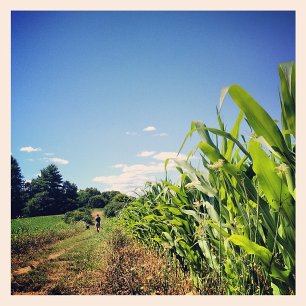 Cedar Hill TrailHiking · ~20 min drivePhoto: dee & tula monstah, CC BY 2.0 (via Flickr)
Best time to visit The Parklands Blue Trail
Best months: April–October. Best months have typical highs of 55–85 °F, lows of 30 °F or warmer (32 °F where the station doesn't record snow), at most one snowy day and no more than 12 wet days.
Jan
38° / 17°
9 wet · 6 snow
Feb
41° / 18°
8 wet · 4 snow
Mar
48° / 25°
11 wet · 3 snow
Apr
60° / 35°
10 wet · 1 snow
May
71° / 46°
10 wet
Jun
79° / 55°
9 wet
Jul
84° / 61°
9 wet
Aug
83° / 59°
9 wet
Sep
76° / 51°
9 wet
Oct
65° / 39°
9 wet
Nov
53° / 31°
9 wet · 1 snow
Dec
43° / 23°
10 wet · 4 snow
Typical high / low (°F) and days with rain or snow, 1991–2020. Measured at West Medway, MA, 5.7 mi away at 210 ft. Source: NOAA NCEI U.S. Climate Normals 1991–2020.
Map and trail data © OpenStreetMap contributors
