Pilgrim Spring Trail
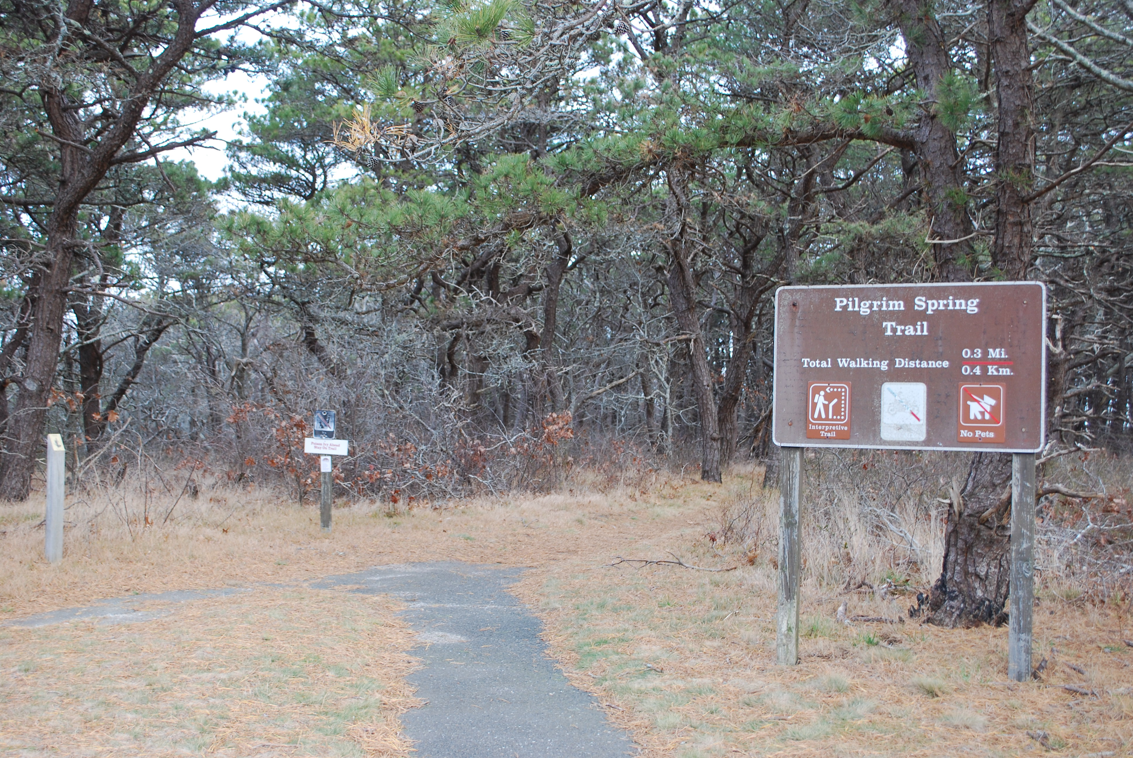 Photo: NPS Photo
- 0.3 mi
- round trip
- 22 ft
- climb
- 67 ft
- high point
- Out and back
- route
- Jun–Aug
- best months
Is Pilgrim Spring Trail open right now?
No closures listed
The National Park Service lists no closures for Cape Cod National Seashore.
As of · Source: NPS · Cape Cod National Seashore. Agencies don't list every closure — check before you go.
Pilgrim Spring Trail is a 0.7-mile loop at Cape Cod National Seashore in Massachusetts, managed by the National Park Service. The trail starts at a covered shelter about a mile from the Head of the Meadow Beach sign, at the Pilgrim Heights area. It is a short, easy walk, with a trip estimated at about 30 minutes, and the route returns to the parking area at the end, where seasonal restrooms are located. The path leads to a site historically significant to the Pilgrims, who drank fresh water here when they arrived in New England. A marker along the trail commemorates their first exploration of the area. The trail passes through a recovering pine and oak forest, and pets are welcome on leash. Summer is the most comfortable time to visit, with typical July highs around 79°F and lows near 64°F, based on averages from a nearby weather station. Winters are cold, with typical January highs near 39°F and lows around 26°F. Pilgrim Spring lies about 0.1 mile away, and the Woods Walk at Highlands Center is about 3 miles off. The Old Colony Nature Trail and the Province Lands Bike Trail are both within about 5 miles.
- Pilgrim SpringHiking0.1 mi
- Woods Walk at Highlands CenterHiking3.1 mi
- Old Colony Nature TrailHiking3.8 mi
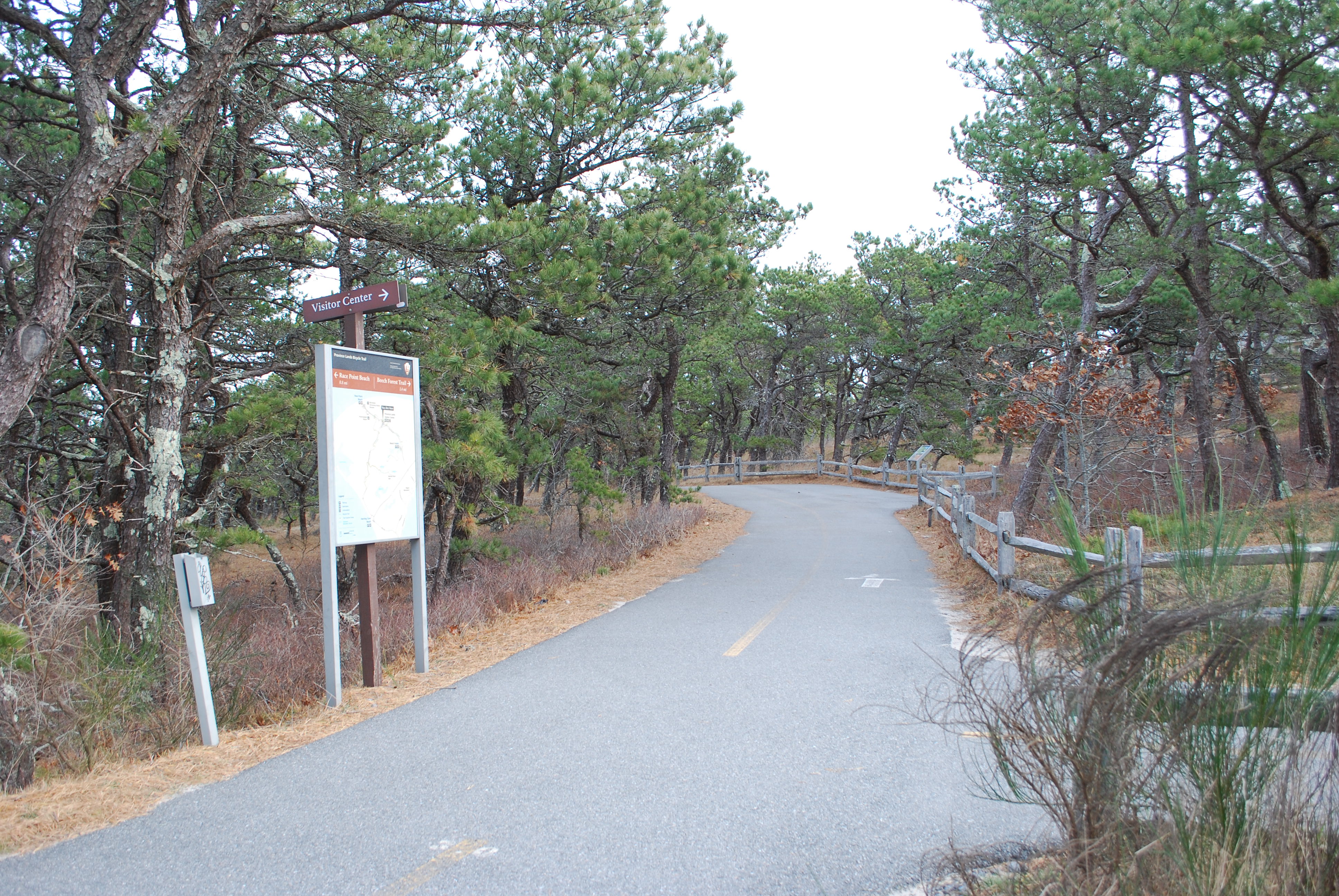 Province Lands Bike TrailHikingPhoto: NPS Photo5.2 mi
 Pamet Cranberry Bog TrailHikingPhoto: terryballard, CC BY 2.0 (via Flickr)5.6 mi
- Bay View HouseCamping6.9 mi
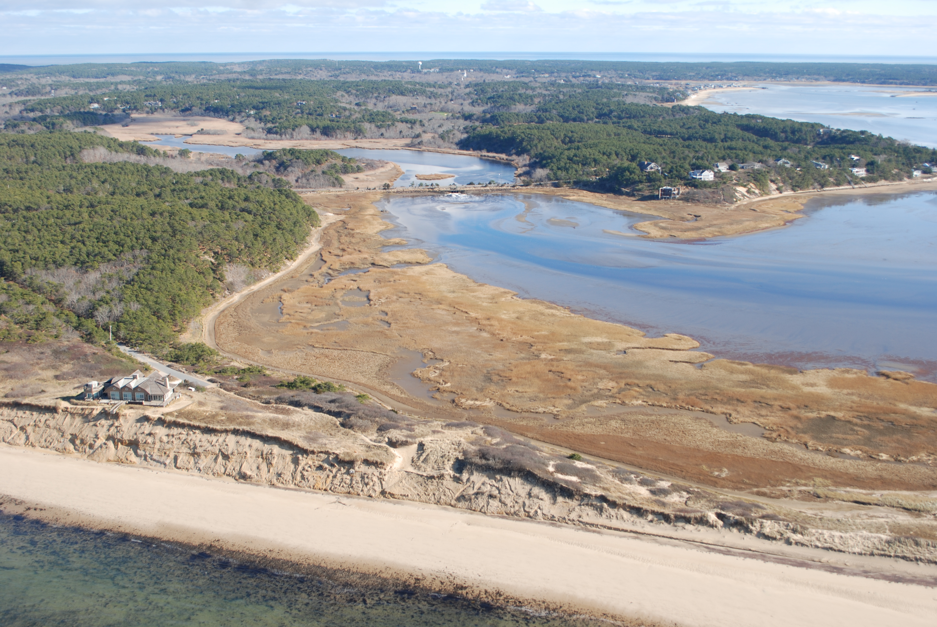 Great Island TrailHikingPhoto: NPS Photo8.6 mi
 Herring River Overlook Conservation Land and TrailHikingPhoto: niklas.tenhaef1, CC BY-SA 2.0 (via Flickr)9.1 mi
Source: Roamze catalog (indexable pages within 10 miles, PostGIS distance)
- Small's Swamp TrailHiking · Next door
- Province Lands Bike TrailHiking · ~9 min drive
 Cliff Pond TrailHiking · ~36 min drivePhoto: clembore, CC BY-SA 2.0 (via Flickr)
- Beech Forest TrailHiking · ~8 min drive
- Little Cliff Pond TrailHiking · ~36 min drivePhoto: clembore, CC BY-SA 2.0 (via Flickr)
- Pamet Cranberry Bog TrailHiking · ~10 min drivePhoto: terryballard, CC BY 2.0 (via Flickr)
 ORV Beach TrailHiking · ~44 min drivePhoto: clembore, CC BY-SA 2.0 (via Flickr)
- Great Island TrailHiking · ~15 min drive
 Craddock TrailHiking · ~50 min drivePhoto: Magicpiano, CC BY-SA 4.0 (via Wikimedia Commons)
- Herring River Overlook Conservation Land and TrailHiking · ~16 min drivePhoto: niklas.tenhaef1, CC BY-SA 2.0 (via Flickr)
Best time to visit Pilgrim Spring Trail
Best months: June–August. Best months have typical highs of 55–85 °F, lows of 30 °F or warmer (32 °F where the station doesn't record snow), at most one snowy day and no more than 12 wet days.
Jan
39° / 26°
14 wet
Feb
40° / 26°
12 wet
Mar
44° / 31°
13 wet
Apr
52° / 39°
13 wet
May
62° / 48°
13 wet
Jun
71° / 57°
12 wet
Jul
79° / 64°
11 wet
Aug
78° / 64°
12 wet
Sep
71° / 58°
13 wet
Oct
61° / 47°
14 wet
Nov
52° / 39°
13 wet
Dec
44° / 31°
14 wet
Typical high / low (°F) and days with rain or snow, 1991–2020. Measured at Chatham Muni Ap, MA, 26.1 mi away at 68 ft. This station doesn't record snowfall. Source: NOAA NCEI U.S. Climate Normals 1991–2020.
