Grotonwood
Campground
Campground · 5.4 mi from the trail
Peace Trail is a short, easy hike in Massachusetts, about half a mile from the town of Westford. The route is 0.68 miles long, and it rises only 12 feet from its low point of 240 feet to a high of 268 feet. The climb is flat overall, with a slight grade of about 5% at the start. Late spring and early fall are the most comfortable times to go. Typical averages from a nearby weather station in Lowell show May highs around 70°F and September highs around 76°F, while July averages about 85°F. Several other trails sit close by. Kingfisher Trail is about 0.6 miles away, Buckboard Trail about 0.9 miles, and Burns Hill Loop Trail about a mile. For climbing, Chelmsford Lime Quarry is roughly 3 miles off.
Grotonwood
Campground
 If it rainsAmericanTextileHistory, CC BY-SA 3.0 · Wikimedia Commons
American Textile History Museum
Museum
Places © OpenStreetMap contributors, Places © Overture Maps Foundation · Photos: AmericanTextileHistory, CC BY-SA 3.0 (commons)
More in DerrySource: Roamze catalog (indexable pages within 10 miles, PostGIS distance)
 Kennedy Pond LoopHiking · ~5 min drivePhoto: inkknife_2000 (7.5 million views +), CC BY-SA 2.0 (via Wikimedia Commons)
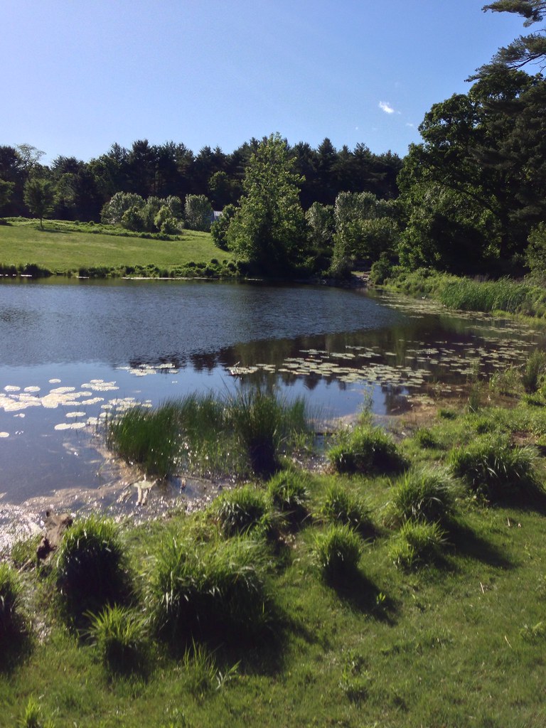 Acorn TrailHiking · ~7 min drivePhoto: eedrummer, CC BY-SA 2.0 (via Flickr)Blue Dot TrailHiking · ~7 min drivePhoto: inkknife_2000 (7.5 million views +), CC BY-SA 2.0 (via Wikimedia Commons)
 Marion's TrailHiking · ~10 min drivePhoto: kristin from Somerville, MA, CC BY-SA 2.0 (via Wikimedia Commons)
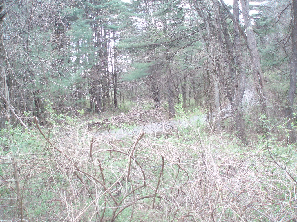 Russell TrailHiking · ~10 min drivePhoto: Massachusetts Dept. of Environmental Protection, CC BY 2.0 (via Flickr)
 Middlesex Canal TrailHiking · ~10 min drivePhoto: ursonate, CC BY 2.0 (via Flickr)Poole Sachs Davis LoopHiking · ~11 min drivePhoto: kristin from Somerville, MA, CC BY-SA 2.0 (via Wikimedia Commons)Woodhaven TrailsHiking · ~11 min drivePhoto: kristin from Somerville, MA, CC BY-SA 2.0 (via Wikimedia Commons)
 Yellow Wildflower TrailHiking · ~12 min drivePhoto: jim_snydergrant, CC BY 2.0 (via Flickr)
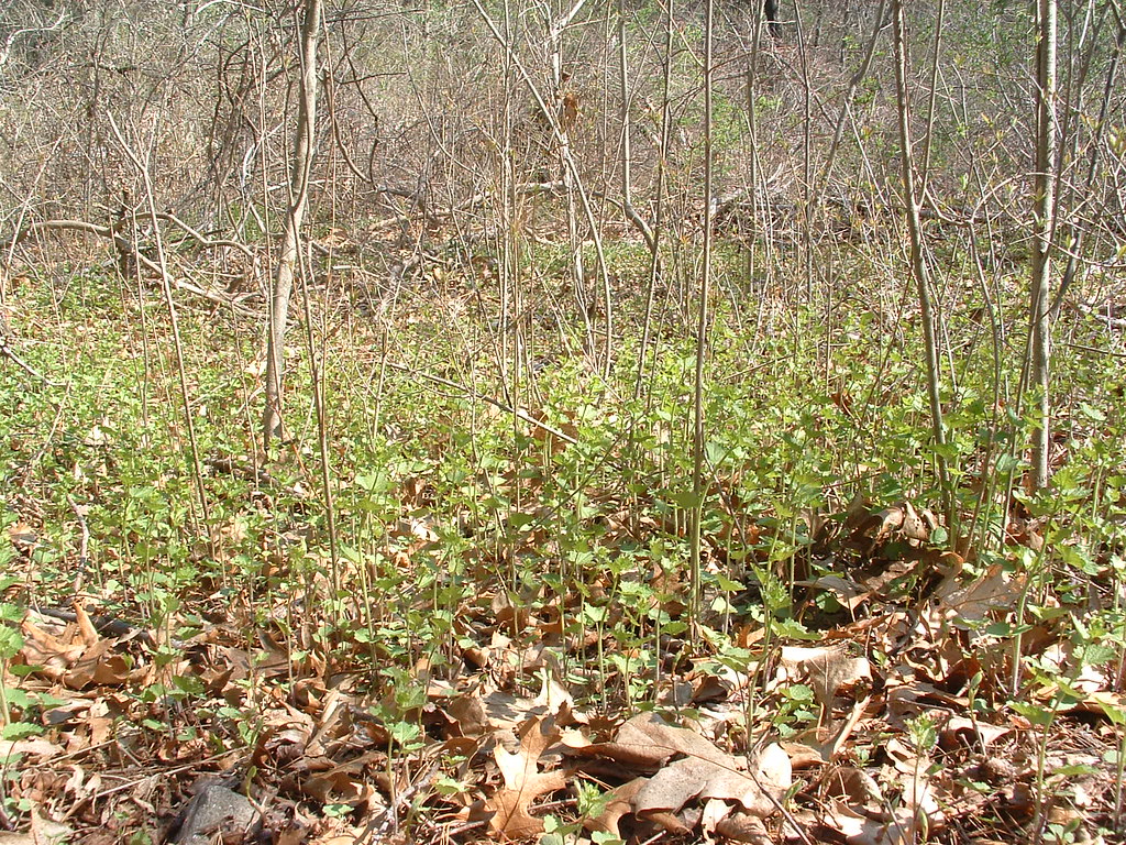 YellowHiking · ~12 min drivePhoto: jim_snydergrant, CC BY 2.0 (via Flickr)
Best months: April–October. Best months have typical highs of 55–85 °F, lows of 30 °F or warmer (32 °F where the station doesn't record snow), at most one snowy day and no more than 12 wet days.
Jan
34° / 16°
11 wet
Feb
37° / 17°
9 wet
Mar
45° / 24°
11 wet
Apr
59° / 35°
11 wet
May
70° / 45°
12 wet
Jun
79° / 55°
11 wet
Jul
85° / 61°
11 wet
Aug
83° / 59°
10 wet
Sep
76° / 51°
9 wet
Oct
62° / 39°
11 wet
Nov
51° / 30°
11 wet
Dec
40° / 22°
11 wet
Typical high / low (°F) and days with rain or snow, 1991–2020. Measured at Lowell, MA, 5.4 mi away at 110 ft. This station doesn't record snowfall. Source: NOAA NCEI U.S. Climate Normals 1991–2020.
Map and trail data © OpenStreetMap contributors

