Burlington Landlocked Forest Yellow Loop
- 4.4 mi
- loop
- 283 ft
- climb
- 277 ft
- high point
- Loop
- route
- Jun–Oct
- best months
The Burlington Landlocked Forest Yellow Loop is a 4.4-mile loop hike in Massachusetts, set on Landlocked Land. It's an easy route with a total elevation gain of 283 feet, and the steepest stretch comes at about 1.4 miles in, where the grade reaches 9%. Bikes are allowed on the trail, so it works for hikers and riders alike. Late spring and early fall are the most comfortable times to go. Typical averages from a nearby weather station in Bedford show May highs around 70°F and September highs around 74°F, while winter brings regular snow days from December through February. Foundation Boulder, a climbing area, sits just 0.2 miles away, and Willard's Woods and the Milk Crate mountain biking trail are each about 0.9 miles off. The Across Lexington Route G hike is roughly 1.7 miles away.
Conditions and forecast on Bannon Hill
Daily highs and lows, wind and the chance of precipitation at the summit and route start for the next 7 days, from the Open-Meteo model.
- Foundation BoulderRock climbing0.2 mi
- Willard's WoodsRock climbing0.9 mi
- Milk CrateMountain biking0.9 mi
- Secondary Trail (orange) esker ridgeMountain biking1.6 mi
 Across Lexington Route GHikingPhoto: Emily Schadler, Conservation Assistant, Town of Lexington Conservation Division, CC BY-SA 3.0 (via Wikimedia Commons)1.7 mi
- Lower Vine Brook LoopHikingPhoto: Emily Schadler, Conservation Assistant, Town of Lexington Conservation Division, CC BY-SA 3.0 (via Wikimedia Commons)2 mi
- Whipple BoulderRock climbing3.5 mi
 Shawsheen RiverCanoeingPhoto: John Phelan, CC BY 3.0 (via Wikimedia Commons)4.3 mi
Source: Roamze catalog (indexable pages within 10 miles, PostGIS distance)
- Across Lexington Route GHiking · ~3 min drivePhoto: Emily Schadler, Conservation Assistant, Town of Lexington Conservation Division, CC BY-SA 3.0 (via Wikimedia Commons)
 Western GreenwayHiking · ~9 min drivePhoto: ethan.long, CC BY-SA 2.0 (via Flickr)
- Lower Vine Brook LoopHiking · ~3 min drivePhoto: Emily Schadler, Conservation Assistant, Town of Lexington Conservation Division, CC BY-SA 3.0 (via Wikimedia Commons)
- Across Lexington Route AHiking · ~4 min drive
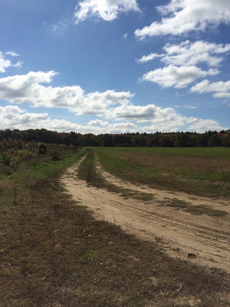 River TrailHiking · ~9 min drivePhoto: Robert Gray - Newton, MA, CC BY 2.0 (via Flickr)
- Across Lexington Route FHiking · ~5 min drive
- Great Meadows Greenaugh LoopHiking · ~9 min drivePhoto: Robert Gray - Newton, MA, CC BY 2.0 (via Flickr)
- Circuit Trail Bedford (Inner)Hiking · ~5 min drive
 Long Pond Nature TrailHiking · ~9 min drivePhoto: cofluoxetine, CC BY 2.0 (via Flickr)
- Reservoir TrailHiking · ~10 min drive
Best time to visit Burlington Landlocked Forest Yellow Loop
Best months: June–October. Best months have typical highs of 55–85 °F, lows of 30 °F or warmer (32 °F where the station doesn't record snow), at most one snowy day and no more than 12 wet days.
Jan
36° / 18°
13 wet · 8 snow
Feb
39° / 19°
11 wet · 7 snow
Mar
47° / 27°
13 wet · 6 snow
Apr
59° / 36°
13 wet · 2 snow
May
70° / 46°
13 wet
Jun
78° / 55°
12 wet
Jul
84° / 61°
11 wet
Aug
82° / 60°
10 wet
Sep
74° / 52°
10 wet
Oct
62° / 40°
11 wet
Nov
51° / 31°
12 wet · 2 snow
Dec
41° / 23°
13 wet · 6 snow
Typical high / low (°F) and days with rain or snow, 1991–2020. Measured at Bedford, MA, 3 mi away at 160 ft. Source: NOAA NCEI U.S. Climate Normals 1991–2020.

Route details
- Distance
- 4.4 mi
- Climbing
- About 283 ft
- Summit
- 280 ft
- Difficulty
- Easy
- Time
- About 2 hours
Questions about this route
How long is the Burlington Landlocked Forest Yellow Loop on Bannon Hill?
About 4.4 mi.
How much elevation gain is on the Burlington Landlocked Forest Yellow Loop?
About 283 ft of climbing round trip.
How hard is the Burlington Landlocked Forest Yellow Loop?
It is rated easy.
How long does the Burlington Landlocked Forest Yellow Loop take?
About 2 hours round trip.
Map and trail data © OpenStreetMap contributors
