Acorn Trail
- 1.7 mi
- one way
- 217 ft
- climb
- 428 ft
- high point
- Point to point
- route
- Apr–Oct
- best months
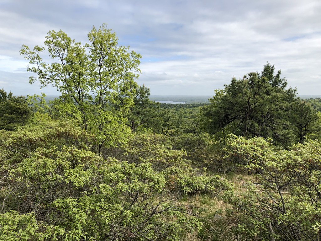
Acorn Trail is an easy hike in Massachusetts, about a mile from South Foxboro. It is a short, point-to-point route, roughly 1.7 miles long, with a total elevation gain of 217 feet and a high point of 428 feet. The trail starts at around 290 feet and ends about 284 feet lower, so it works well as part of a longer outing on nearby routes. The most comfortable months for a visit are late spring and early fall. Typical averages from a nearby weather station in Norton, which sits a few hundred feet below the trail, run to highs of about 69°F in May and 73°F in September. That station's July highs average around 82°F, and winter highs stay near freezing. Several other trails and climbing areas sit close by. Healthy Heart Loop is just 0.1 mile away and Bridle Loop about 0.3 mile. Cairn Cave and Phantom Tower, two climbing areas, are each about half a mile off. Lake Pearl, a fishing spot, is about 4 miles away.
- Healthy Heart LoopHiking0.1 mi
- Bridle LoopHiking0.3 mi
- Cairn CaveRock climbing0.5 mi
- Cube BoulderRock climbing0.6 mi
- Phantom TowerRock climbing0.6 mi
- Nature TrailHiking3.9 mi
- Lake PearlLake fishing4.1 mi
 Threemile RiverCanoeingPhoto: Marcbela (Marc N. Belanger), CC0 (via Wikimedia Commons)9.1 mi
Source: Roamze catalog (indexable pages within 10 miles, PostGIS distance)
 Pond Edge TrailHiking · ~10 min drivePhoto: Doug Orleans, CC BY-SA 2.0 (via Flickr)
- Warner TrailHiking · ~14 min drive
- Cedar Swamp TrailHiking · ~17 min drive
 Coon Hollow PathHiking · ~24 min drivePhoto: niklas.tenhaef1, CC BY-SA 2.0 (via Flickr)
 Brookwood TrailHiking · ~24 min drivePhoto: niklas.tenhaef1, CC BY-SA 2.0 (via Flickr)
 Turner Reservoir Loop TrailHiking · ~26 min drivePhoto: jjeff, CC BY 2.0 (via Flickr)
 Savoy PathHiking · ~26 min drivePhoto: clembore, CC BY-SA 2.0 (via Flickr)
- Red Dot LoopHiking · ~27 min drivePhoto: clembore, CC BY-SA 2.0 (via Flickr)
- Healthy Heart LoopHiking · Next door
- Bridle LoopHiking · Next door
Best time to visit Acorn Trail
Best months: April–October. Best months have typical highs of 55–85 °F, lows of 30 °F or warmer (32 °F where the station doesn't record snow), at most one snowy day and no more than 12 wet days.
Jan
37° / 18°
11 wet
Feb
39° / 19°
10 wet
Mar
46° / 27°
11 wet
Apr
58° / 35°
11 wet
May
69° / 46°
12 wet
Jun
77° / 55°
10 wet
Jul
82° / 62°
10 wet
Aug
81° / 60°
9 wet
Sep
73° / 52°
9 wet
Oct
61° / 41°
10 wet
Nov
51° / 32°
10 wet
Dec
42° / 24°
11 wet
Typical high / low (°F) and days with rain or snow, 1991–2020. Measured at Norton W, MA, 6.7 mi away at 95 ft. This station doesn't record snowfall. Source: NOAA NCEI U.S. Climate Normals 1991–2020.
Map and trail data © OpenStreetMap contributors
