White Trail
 Photo: krossbow, CC BY 2.0 (via Flickr)
- 0.9 mi
- round trip
- 263 ft
- climb
- 128 ft
- high point
- Out and back
- route
- Mar–Jun, Sep–Nov
- best months
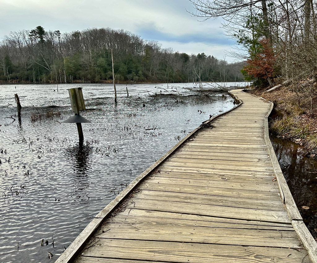
White Trail is an easy out-and-back hike in Maryland, about a mile from the town of Bertha. The trail is short and gentle, with a total round-trip distance of 1.7 miles and a total elevation gain of 263 feet. The climb is a little steeper near the start, with a 10% grade at about 0.3 miles, before it eases back to a low point of 31 feet and a high of 128 feet. Late spring and early fall are the most comfortable times to go. Typical averages from the nearby Solomons weather station run from highs around 74°F in May to about 80°F in September, with July peaking near 88°F. The trip takes about half an hour, and the trail sits close to several others. Orange Trail is just 0.1 mile away, Silver Trail is half a mile off, and Red Trail and Blue Trail are each about 0.6 to 0.9 mile away.
- Orange TrailHikingPhoto: krossbow, CC BY 2.0 (via Flickr)0.1 mi
 Silver TrailHikingPhoto: krossbow, CC BY 2.0 (via Flickr)0.5 mi
 Red TrailHikingPhoto: krossbow, CC BY 2.0 (via Flickr)0.6 mi
 Blue TrailHikingPhoto: krossbow, CC BY 2.0 (via Flickr)0.9 mi
- Yellow TrailHikingPhoto: krossbow, CC BY 2.0 (via Flickr)0.9 mi
 North Ridge TrailHikingPhoto: districtinroads, CC BY-SA 2.0 (via Flickr)3.5 mi
- South Ridge TrailHikingPhoto: districtinroads, CC BY-SA 2.0 (via Flickr)3.5 mi
- Duncan's Pond TrailHikingPhoto: districtinroads, CC BY-SA 2.0 (via Flickr)3.8 mi
Source: Roamze catalog (indexable pages within 10 miles, PostGIS distance)
Best time to visit White Trail
Best months: March–June and September–November. Best months have typical highs of 55–85 °F, lows of 30 °F or warmer (32 °F where the station doesn't record snow), at most one snowy day and no more than 12 wet days.
Jan
45° / 30°
Feb
48° / 31°
Mar
55° / 38°
Apr
65° / 47°
May
74° / 58°
Jun
84° / 68°
Jul
88° / 73°
Aug
86° / 71°
Sep
80° / 65°
Oct
69° / 53°
Nov
59° / 43°
Dec
50° / 34°
Typical high / low (°F) and days with rain or snow, 1991–2020. Measured at Solomons, MD, 6 mi away at 12 ft. This station doesn't record snowfall. Source: NOAA NCEI U.S. Climate Normals 1991–2020.
Map and trail data © OpenStreetMap contributors
