Sandtown Trail
- 0.9 mi
- round trip
- 445 ft
- climb
- 137 ft
- high point
- Out and back
- route
- Apr–Jun, Aug–Nov
- best months
Sandtown Trail is a short, easy hike in Maryland, about 0.4 miles from the community of Horseshoe Estates. The trail is an out-and-back route of about 1.8 miles, with a total climb of roughly 445 feet and a steepest grade of about 5% near the start. The trail's rolling profile makes it a gentle walk, and the low point sits at about 57 feet, with the high at about 137 feet. Spring and fall are the most comfortable times to go. Typical averages from the nearby Chestertown weather station show May highs around 74°F and October highs around 67°F, while July averages about 87°F. Several other trails lie close by. Pee Wee's Trail is about 0.3 miles away, and the Tuckahoe Valley Trail and Tuckahoe Office Spur Trail are each within about half a mile. Tuckahoe Creek, a canoeing route, is about 2 miles off.
- Pee Wee's TrailHiking0.3 mi
- Tuckahoe Valley TrailHiking0.4 mi
- Tuckahoe Office Spur TrailHiking0.6 mi
 Tuckahoe Creekside WalkHikingPhoto: vonguard, CC BY-SA 2.0 (via Flickr)1.1 mi
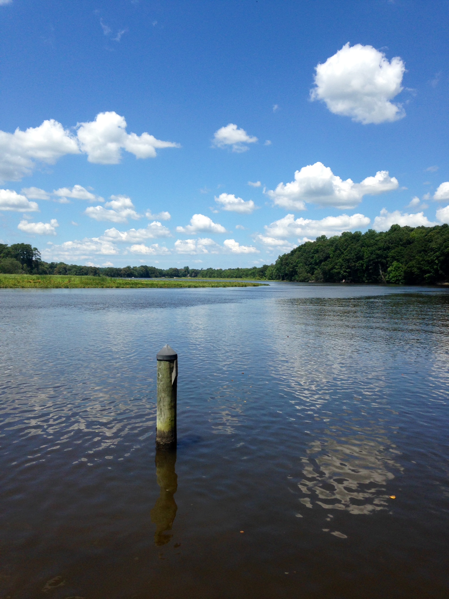 Tuckahoe CreekCanoeingPhoto: Sk5893, CC BY-SA 4.0 (via Wikimedia Commons)2 mi
- Martinak State Park Camp Loop ACamping8.4 mi
- Martinak State Park Camp Loop BCamping8.5 mi
- Mason BranchCanoeing9.1 mi
Source: Roamze catalog (indexable pages within 10 miles, PostGIS distance)
- Tuckahoe Creekside WalkHiking · ~2 min drivePhoto: vonguard, CC BY-SA 2.0 (via Flickr)
 Dividing Creek TrailHiking · ~20 min drivePhoto: Nicolas Raymond from Bethesda, Maryland, USA, CC BY 2.0 (via Wikimedia Commons)
- Adt - Delaware - Seg 1Hiking · ~24 min drive
 Pee Wee's TrailHiking · ~2 min drivePhoto: vonguard, CC BY-SA 2.0 (via Flickr)
- Tuckahoe Valley TrailHiking · Next door
- Adt - Maryland - Seg 1Hiking · ~42 min drive
- Nancy's Meadow LoopHiking · ~3 min drivePhoto: vonguard, CC BY-SA 2.0 (via Flickr)
- Pow-Mia WalkwayHiking · ~45 min drive
 Tuckahoe Valley TrailHiking · ~3 min drivePhoto: Willcook3, CC BY-SA 4.0 (via Wikimedia Commons)
- Equestrian Cutoff TralHiking · ~3 min drivePhoto: Willcook3, CC BY-SA 4.0 (via Wikimedia Commons)
Best time to visit Sandtown Trail
Best months: April–June and August–November. Best months have typical highs of 55–85 °F, lows of 30 °F or warmer (32 °F where the station doesn't record snow), at most one snowy day and no more than 12 wet days.
Jan
41° / 27°
9 wet · 2 snow
Feb
44° / 28°
8 wet · 2 snow
Mar
52° / 35°
10 wet · 1 snow
Apr
64° / 45°
10 wet
May
74° / 55°
10 wet
Jun
82° / 64°
9 wet
Jul
87° / 69°
9 wet
Aug
85° / 67°
8 wet
Sep
78° / 60°
8 wet
Oct
67° / 48°
8 wet
Nov
56° / 38°
9 wet
Dec
45° / 31°
10 wet · 1 snow
Typical high / low (°F) and days with rain or snow, 1991–2020. Measured at Chestertown, MD, 19.7 mi away at 40 ft. Source: NOAA NCEI U.S. Climate Normals 1991–2020.
Map and trail data © OpenStreetMap contributors
