Red Trail
- 3.2 mi
- one way
- 15 ft
- high point
- Point to point
- route
- Easy
- difficulty
- Mar–May, Sep–Nov
- best months
Red Trail is a 3.2-mile loop hike in Maryland, about 1.3 miles from the community of Walnut Landing. The route is rated easy, and it gains no elevation, so it is a flat walk that circles back to its starting point. The trail is a low-lying loop, with a high point of about 15 feet and a low of about 4 feet. The steepest stretch comes early on, at about 0.08 miles in, with a grade of about 3 percent. The lack of elevation makes it a straightforward outing for a short outing or a warm-up before exploring other trails in the area. Spring and fall are the most comfortable times to go. Typical averages from a nearby weather station in Vienna, Maryland, show May highs around 78°F and October highs around 72°F, while July averages about 90°F. Several other trails sit close by. Orange Trail and Blue Trail are each about 0.3 miles away, and Green Trail is about 0.5 miles off. Tom Tyler Nature Trail is roughly 4.6 miles away.
- Orange TrailHiking0.3 mi
- Blue TrailHiking0.3 mi
- Green TrailHiking0.5 mi
- Black TrailHiking1.1 mi
- Tom Tyler Nature TrailHiking4.6 mi
- River WalkHiking8.5 mi
- Upland TrailHiking8.6 mi
- Beech Tree LoopHiking8.6 mi
Source: Roamze catalog (indexable pages within 10 miles, PostGIS distance)
 Pondside TrailHiking · ~26 min drivePhoto: vonguard, CC BY-SA 2.0 (via Flickr)
- Adt - Delaware - Seg 1Hiking · ~36 min drive
- Campus PathsHiking · ~41 min drive
- Handy Hall TrailHiking · ~26 min drivePhoto: vonguard, CC BY-SA 2.0 (via Flickr)
- Tuckahoe Valley TrailHiking · ~49 min drive
 Huckleberry TrailHiking · ~27 min drivePhoto: Lee Cannon, CC BY-SA 2.0 (via Flickr)
- Bob TrailHiking · ~27 min drivePhoto: Lee Cannon, CC BY-SA 2.0 (via Flickr)
- Island TrailHiking · ~27 min drivePhoto: Lee Cannon, CC BY-SA 2.0 (via Flickr)
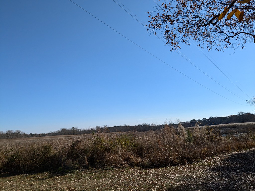 Bell Island TrailHiking · ~27 min drivePhoto: vonguard, CC BY-SA 2.0 (via Flickr)
 Huckleberry TrailHiking · ~27 min drivePhoto: Lee Cannon, CC BY-SA 2.0 (via Flickr)
Best time to visit Red Trail
Best months: March–May and September–November. Best months have typical highs of 55–85 °F, lows of 30 °F or warmer (32 °F where the station doesn't record snow), at most one snowy day and no more than 12 wet days.
Jan
48° / 28°
Feb
50° / 28°
Mar
58° / 35°
Apr
69° / 44°
May
78° / 54°
Jun
86° / 63°
Jul
90° / 69°
Aug
88° / 67°
Sep
82° / 60°
Oct
72° / 49°
Nov
61° / 39°
Dec
51° / 31°
Typical high / low (°F) and days with rain or snow, 1991–2020. Measured at Vienna, MD, 5.3 mi away at 10 ft. This station doesn't record snowfall. Source: NOAA NCEI U.S. Climate Normals 1991–2020.
Map and trail data © OpenStreetMap contributors
