Nightfall Loop
0.64-mile out-and-back trail in Maryland with 244 ft elevation gain.
- 0.3 mi
- round trip
- 244 ft
- climb
- 135 ft
- high point
- Out and back
- route
Nightfall Loop is a short out-and-back trail in Maryland covering 0.64 miles with 244 feet of elevation gain. The trail reaches a maximum elevation of 135 feet and returns via the same path it ascends.
Keep exploring — more trails worth the drive
 Photo: Ken_Mayer, CC BY 2.0 (via Flickr)
Loop
~7 min drive
1.08-mile out-and-back trail in Maryland with 147 ft of elevation gain.
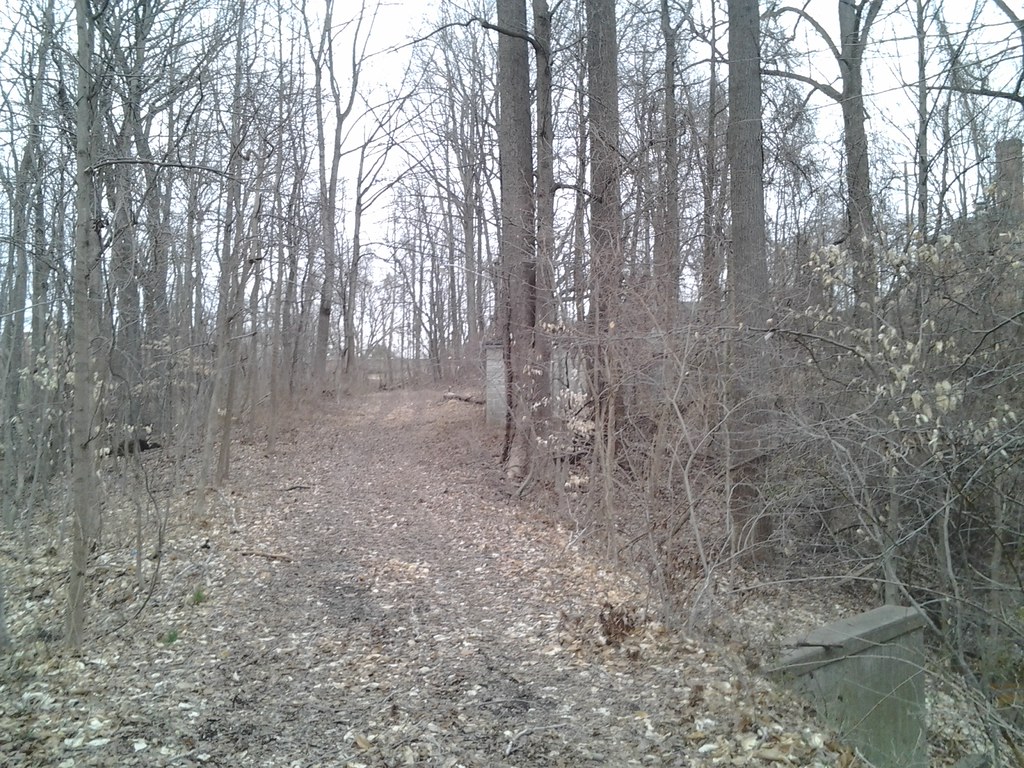 Photo: Ken_Mayer, CC BY 2.0 (via Flickr)
House Trail (green)
~12 min drive
1.02-mile out-and-back trail in Maryland with 184 ft elevation gain.
Photo: Ken_Mayer, CC BY 2.0 (via Flickr)Evergreen to Tudor Through Trail
~7 min drive
0.94-mile out-and-back trail in Maryland with 193 ft elevation gain.
Photo: Ken_Mayer, CC BY 2.0 (via Flickr)Kettle Trail Loop (green)
~12 min drive
0.94-mile green loop trail in Maryland with 295 ft elevation gain.
 Photo: Ken_Mayer, CC BY 2.0 (via Flickr)
Field Loop
~7 min drive
0.88-mile out-and-back trail in Maryland with 125 ft elevation gain
 Photo: Ken_Mayer, CC BY 2.0 (via Flickr)
Stick Trail Loop (blue)
~13 min drive
0.6-mile out-and-back trail in Maryland with 86 ft elevation gain.
Photo: Ken_Mayer, CC BY 2.0 (via Flickr)Creek Trail
~7 min drive
1.44-mile out-and-back trail in Maryland with 404 ft elevation gain/loss.
Brick Trail Loop (blue)
~12 min drive
1.85-mile loop in Maryland with 325 ft elevation gain and loss.
Photo: Ken_Mayer, CC BY 2.0 (via Flickr)Straw Trail Loop (blue)
~13 min drive
0.67-mile loop in Maryland with 98 ft elevation gain and loss.
 Photo: R. DN., CC BY 4.0 (via Wikimedia Commons)
Box Turtle Trail (purple)
~14 min drive
2.52-mile loop trail in Maryland with 568 ft elevation gain and loss.
Map and trail data © OpenStreetMap contributors
