Turner Farm
Campground
Campground · 1.2 mi from the trail
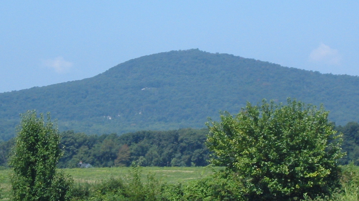
The Mountain Loop Trail is a 3.3-mile loop in Maryland, about a mile from the town of Stronghold. It rises to a high point of 1,000 feet, with a total elevation gain of 909 feet, and is rated easy. The trail is a loop, so it starts and ends at the same place, and the climb is spread across the route rather than concentrated in one stretch. The most comfortable months for a visit are typically late spring and early fall. Typical averages from a nearby weather station in Damascus run from highs around 72°F in May to about 76°F in September, with July the warmest at around 84°F. That station sits about 300 feet lower than the trail's high point, so temperatures on the higher ground run a little cooler. The trail makes an easy pairing with other outings in the area. The Monadnock Trail starts just 0.1 mile away, and the climbing areas at Sugarloaf Mountain and Boy Scout Ledges are each about 0.3 mile off. The Northern Peaks Trail is roughly 0.6 mile away.
Turner Farm
Campground
 If it rainsAcroterion, CC BY-SA 4.0 · Wikimedia Commons
Gambrill House
Attraction
Historic mansion at Monocacy National Battlefield, Maryland, United States
Places © OpenStreetMap contributors, Places © Overture Maps Foundation · Photos: Acroterion, CC BY-SA 4.0 (commons)
More in Ballenger CreekNot on Roamze yet. Their page has how to reach them.
 Boy Scout LedgesRock climbingPhoto: Idawriter, CC BY-SA 3.0 (via Wikimedia Commons)0.3 miSugarloaf MountainRock climbingPhoto: Idawriter, CC BY-SA 3.0 (via Wikimedia Commons)0.3 mi
Source: Roamze catalog (indexable pages within 10 miles, PostGIS distance)
 Antler Ridge TrailHiking · ~9 min drivePhoto: John Brighenti from Rockville, MD, United States, CC BY 2.0 (via Wikimedia Commons)
 Woodcock Hollow TrailHiking · ~9 min drivePhoto: John Brighenti from Rockville, MD, United States, CC BY 2.0 (via Wikimedia Commons)Western Piedmont TrailHiking · ~9 min drivePhoto: John Brighenti from Rockville, MD, United States, CC BY 2.0 (via Wikimedia Commons)Beaver Valley TrailHiking · ~9 min drivePhoto: John Brighenti from Rockville, MD, United States, CC BY 2.0 (via Wikimedia Commons)Whitetail TrailHiking · ~9 min drivePhoto: John Brighenti from Rockville, MD, United States, CC BY 2.0 (via Wikimedia Commons)
Also worth it near here
Best months: April–October. Best months have typical highs of 55–85 °F, lows of 30 °F or warmer (32 °F where the station doesn't record snow), at most one snowy day and no more than 12 wet days.
Jan
39° / 25°
10 wet
Feb
43° / 26°
10 wet
Mar
52° / 33°
10 wet
Apr
64° / 43°
11 wet
May
72° / 53°
11 wet
Jun
80° / 61°
11 wet
Jul
84° / 66°
10 wet
Aug
83° / 65°
10 wet
Sep
76° / 58°
9 wet
Oct
64° / 46°
9 wet
Nov
53° / 36°
9 wet
Dec
44° / 30°
10 wet
Typical high / low (°F) and days with rain or snow, 1991–2020. Measured at Damascus 3 Ssw, MD, 8.5 mi away at 700 ft. This station doesn't record snowfall. Source: NOAA NCEI U.S. Climate Normals 1991–2020.
Map and trail data © OpenStreetMap contributors