Marble Quarry Hiker-Biker Campsite
Campground
Campground · 3.8 mi from the trail
Monocacy Loop is a short, easy hike in Maryland, about a mile long and rising just 34 feet from start to finish. It sits roughly 0.6 miles from the community of Beallsville, making it an easy addition to a day spent exploring the surrounding trails. The route is nearly flat, with the highest point at 432 feet and the lowest at 388 feet. The steepest stretch comes early on, at about 0.05 miles in, with a grade of 4 percent. The whole loop takes about half an hour to complete. For comfortable weather, aim for late spring or early fall. Typical averages from a nearby weather station show May highs around 72°F and September highs around 76°F, with July the warmest month at about 84°F. Two other short hikes, Two Bridges Trail and Meadow Loop, both lie about 0.1 miles away. Big Woods Trail is about half a mile off, and the Devil's Kitchen climbing area is roughly 5.4 miles away.
Marble Quarry Hiker-Biker Campsite
Campground
 If it rainsAcroterion, CC BY-SA 4.0 · Wikimedia Commons
Gambrill House
Attraction
Historic mansion at Monocacy National Battlefield, Maryland, United States
Places © OpenStreetMap contributors · Photos: Acroterion, CC BY-SA 4.0 (commons)
More in Ballenger CreekNot on Roamze yet. Their page has how to reach them.
 Middle EarthRock climbingPhoto: Idawriter, CC BY-SA 3.0 (via Wikimedia Commons)5.5 mi
 Seneca CreekCanoeingPhoto: Itoula, CC BY-SA 3.0 (via Wikimedia Commons)5.7 mi
Source: Roamze catalog (indexable pages within 10 miles, PostGIS distance)
 Chesapeake and Ohio Canal TrailHiking · ~10 min drivePhoto: C&O Canal NHP, CC BY-SA 2.0 (via Wikimedia Commons)
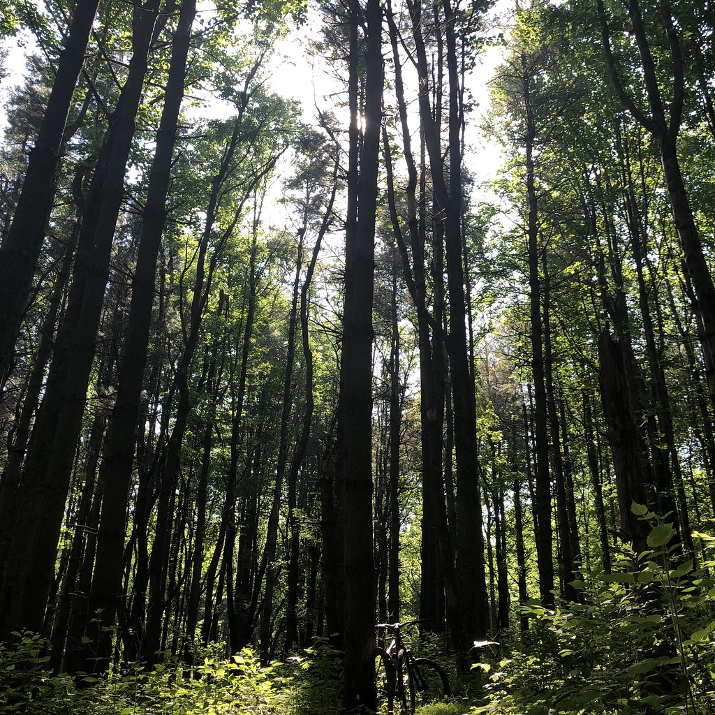 Yellow TrailHiking · ~10 min drivePhoto: schvin, CC BY 2.0 (via Flickr)Blue TrailHiking · ~10 min drivePhoto: schvin, CC BY 2.0 (via Flickr)
 Orange TrailHiking · ~12 min drivePhoto: schvin, CC BY 2.0 (via Flickr)
Also worth it near here
Middle EarthRock climbing · ~9 min drivePhoto: Idawriter, CC BY-SA 3.0 (via Wikimedia Commons)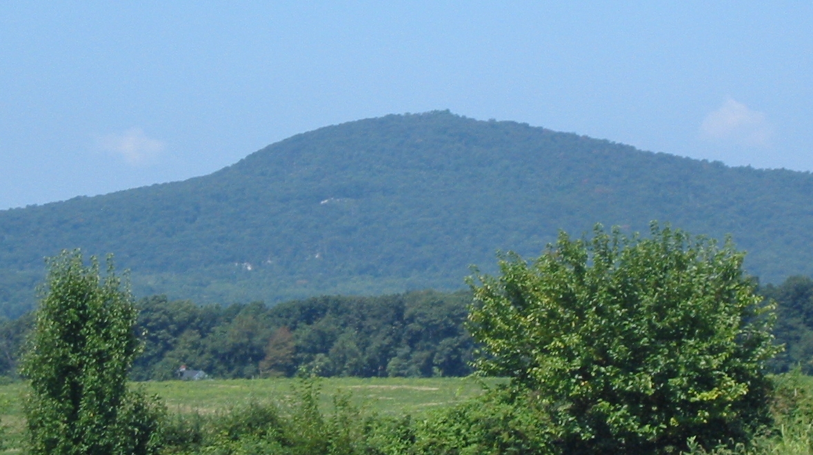 Sugar Loaf MountainSummit · ~10 min drivePhoto: Lowell Silverman at English Wikipedia, Public domain (via Wikimedia Commons)
Best months: April–October. Best months have typical highs of 55–85 °F, lows of 30 °F or warmer (32 °F where the station doesn't record snow), at most one snowy day and no more than 12 wet days.
Jan
39° / 25°
10 wet
Feb
43° / 26°
10 wet
Mar
52° / 33°
10 wet
Apr
64° / 43°
11 wet
May
72° / 53°
11 wet
Jun
80° / 61°
11 wet
Jul
84° / 66°
10 wet
Aug
83° / 65°
10 wet
Sep
76° / 58°
9 wet
Oct
64° / 46°
9 wet
Nov
53° / 36°
9 wet
Dec
44° / 30°
10 wet
Typical high / low (°F) and days with rain or snow, 1991–2020. Measured at Damascus 3 Ssw, MD, 11.6 mi away at 700 ft. This station doesn't record snowfall. Source: NOAA NCEI U.S. Climate Normals 1991–2020.
Map and trail data © OpenStreetMap contributors
