Holly Hill Trail
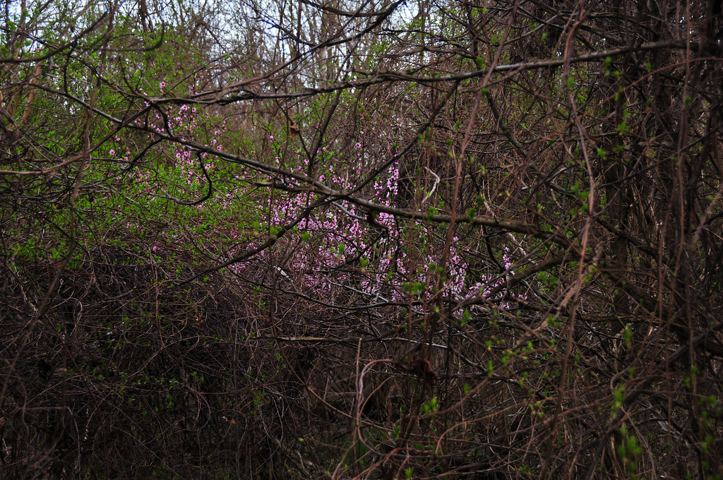 Photo: districtinroads, CC BY-SA 2.0 (via Flickr)
- 2.1 mi
- one way
- 165 ft
- climb
- 158 ft
- high point
- Point to point
- route
- Mar–Nov
- best months
Clear at last check
Weather is good · OpenWeather · checked 19 h ago
Holly Hill Trail is a short, easy hike in Maryland's Parker Creek Heritage Conservation, managed by the State Department of Natural Resources. The trail is about 2 miles long, with a total elevation gain of 165 feet, and it runs from a low point of about 39 feet to a high of about 158 feet. The route is a point-to-point path, and the steepest stretch comes at about 1.8 miles in, with a grade of about 11 percent. Spring and fall are the most comfortable times to go. Typical averages from a nearby weather station show May highs around 74°F and October highs around 66°F, while July averages about 85°F and January highs sit near 44°F. The trail is close to several other routes. Prince Frederick Trail is about 0.4 miles away, Griffin Meadow Trail is about 0.9 miles away, and Parkers Creek Loop and Double Oak Road Trail are each about a mile off.
- Prince Frederick TrailHikingPhoto: districtinroads, CC BY-SA 2.0 (via Flickr)0.4 mi
- Griffin Meadow TrailHikingPhoto: districtinroads, CC BY-SA 2.0 (via Flickr)0.9 mi
 Parkers Creek LoopHikingPhoto: districtinroads, CC BY-SA 2.0 (via Flickr)1 mi
- Double Oak Road TrailHikingPhoto: districtinroads, CC BY-SA 2.0 (via Flickr)1 mi
- North-South TrailHikingPhoto: districtinroads, CC BY-SA 2.0 (via Flickr)1.1 mi
- Flint TrailHiking2.4 mi
- Ridge LoopHiking2.7 mi
- Frog Pond TrailHiking2.7 mi
Source: Roamze catalog (indexable pages within 10 miles, PostGIS distance)
- Prince Frederick TrailHiking · Next doorPhoto: districtinroads, CC BY-SA 2.0 (via Flickr)
- Parkers Creek LoopHiking · ~2 min drivePhoto: districtinroads, CC BY-SA 2.0 (via Flickr)
- Griffin Meadow TrailHiking · ~2 min drivePhoto: districtinroads, CC BY-SA 2.0 (via Flickr)
- North-South TrailHiking · ~2 min drivePhoto: districtinroads, CC BY-SA 2.0 (via Flickr)
- Double Oak Road TrailHiking · ~2 min drivePhoto: districtinroads, CC BY-SA 2.0 (via Flickr)
 Laurel Loop TrailHiking · ~5 min drivePhoto: MyXscape, CC BY 2.0 (via Flickr)
 East Loop TrailHiking · ~5 min drivePhoto: MyXscape, CC BY 2.0 (via Flickr)
 Oriole TrailHiking · ~6 min drivePhoto: MyXscape, CC BY 2.0 (via Flickr)
 Duncan's Pond TrailHiking · ~14 min drivePhoto: districtinroads, CC BY-SA 2.0 (via Flickr)
- South Ridge TrailHiking · ~14 min drivePhoto: districtinroads, CC BY-SA 2.0 (via Flickr)
Best time to visit Holly Hill Trail
Best months: March–November. Best months have typical highs of 55–85 °F, lows of 30 °F or warmer (32 °F where the station doesn't record snow), at most one snowy day and no more than 12 wet days.
Jan
44° / 25°
10 wet · 2 snow
Feb
48° / 26°
9 wet · 2 snow
Mar
56° / 33°
10 wet · 1 snow
Apr
67° / 43°
10 wet
May
74° / 52°
11 wet
Jun
82° / 61°
10 wet
Jul
85° / 66°
10 wet
Aug
83° / 64°
9 wet
Sep
77° / 58°
8 wet
Oct
66° / 46°
9 wet
Nov
57° / 35°
9 wet
Dec
48° / 29°
9 wet · 1 snow
Typical high / low (°F) and days with rain or snow, 1991–2020. Measured at Mechanicsville 5 Ne, MD, 10.4 mi away at 100 ft. Source: NOAA NCEI U.S. Climate Normals 1991–2020.
Map and trail data © OpenStreetMap contributors
