Hall Creek Trail
- 0.8 mi
- loop
- 82 ft
- climb
- 122 ft
- high point
- Loop
- route
- Mar–Jun, Sep–Nov
- best months
Clear at last check
Weather is good · OpenWeather · checked 12 h ago
Hall Creek Trail is a short, easy loop in Maryland, about 0.8 miles long and roughly 80 feet of elevation gain, with the high point at 122 feet. It sits about 0.4 miles from the town of Apple Greene, making it an easy addition to a walk in the area. The trail is a loop, and the climb is gentle. The steepest stretch comes at about 0.2 miles in, with an 8% grade. The route also has a total loss of 178 feet, so it's a low-key outing that can be done in about half an hour. For comfortable weather, aim for late spring or early fall. Typical averages from a nearby weather station in Upper Marlboro show May highs around 75°F and September highs near 80°F, with October cooling to about 69°F. Several other trails lie close by. Forest Trail is just 0.1 miles away, East Ridge Trail is 0.3 miles off, and Fox Den Trail is 0.5 miles away. Paw Paw Trail is about 3.5 miles from the trail.
- Forest TrailHiking0.1 mi
- East Ridge TrailHiking0.3 mi
- Fox Den TrailHiking0.5 mi
 Paw Paw TrailHikingPhoto: krossbow, CC BY 2.0 (via Flickr)3.5 mi
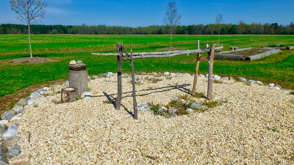 Green LoopHikingPhoto: krossbow, CC BY 2.0 (via Flickr)3.6 mi
- Emory Landing Loop TrailHiking4.3 mi
- Farm Connector TrailHiking4.4 mi
- Red LoopHikingPhoto: krossbow, CC BY 2.0 (via Flickr)4.5 mi
Source: Roamze catalog (indexable pages within 10 miles, PostGIS distance)
- Paw Paw TrailHiking · ~6 min drivePhoto: krossbow, CC BY 2.0 (via Flickr)
- Red LoopHiking · ~8 min drivePhoto: krossbow, CC BY 2.0 (via Flickr)
- Green LoopHiking · ~6 min drivePhoto: krossbow, CC BY 2.0 (via Flickr)
- Perimeter TrailHiking · ~16 min drive
- Red LoopHiking · ~8 min drivePhoto: krossbow, CC BY 2.0 (via Flickr)
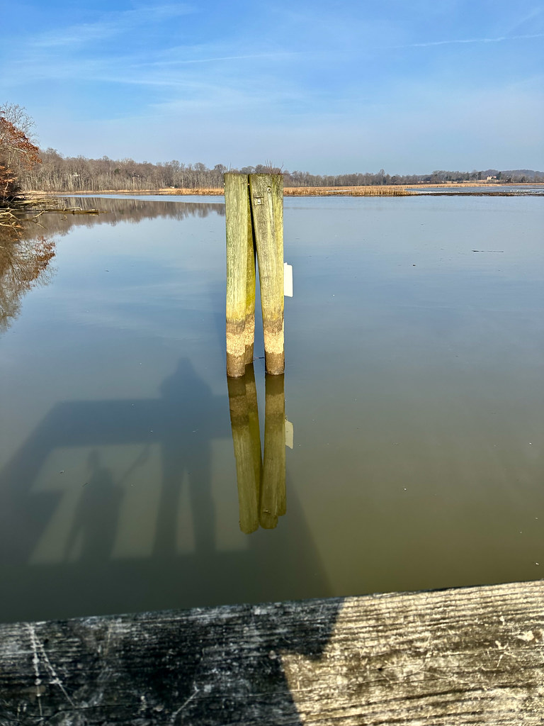 Beach TrailHiking · ~8 min drivePhoto: krossbow, CC BY 2.0 (via Flickr)
- Pindell Bluff TrailHiking · ~8 min drivePhoto: krossbow, CC BY 2.0 (via Flickr)
 Brown LoopHiking · ~8 min drivePhoto: krossbow, CC BY 2.0 (via Flickr)
 Purple LoopHiking · ~9 min drivePhoto: krossbow, CC BY 2.0 (via Flickr)
- Two Run TrailHiking · ~9 min drivePhoto: krossbow, CC BY 2.0 (via Flickr)
Best time to visit Hall Creek Trail
Best months: March–June and September–November. Best months have typical highs of 55–85 °F, lows of 30 °F or warmer (32 °F where the station doesn't record snow), at most one snowy day and no more than 12 wet days.
Jan
44° / 25°
10 wet · 2 snow
Feb
47° / 26°
9 wet · 2 snow
Mar
55° / 33°
10 wet · 1 snow
Apr
66° / 44°
10 wet
May
75° / 54°
11 wet
Jun
84° / 63°
10 wet
Jul
88° / 67°
9 wet
Aug
86° / 65°
9 wet
Sep
80° / 58°
8 wet
Oct
69° / 46°
8 wet
Nov
58° / 35°
8 wet
Dec
48° / 29°
10 wet · 1 snow
Typical high / low (°F) and days with rain or snow, 1991–2020. Measured at Upper Marlboro 3 Nnw, MD, 11.2 mi away at 130 ft. Source: NOAA NCEI U.S. Climate Normals 1991–2020.
Map and trail data © OpenStreetMap contributors
