Dogwood Trail
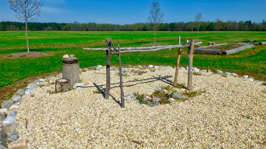
 Photo: krossbow, CC BY 2.0 (via Flickr)
- 0.3 mi
- round trip
- 46 ft
- climb
- 73 ft
- high point
- Out and back
- route
- Mar–Jun, Sep–Nov
- best months
Dogwood Trail is a short, easy out-and-back hike in Maryland, about 0.4 miles from the community of Pig Point. The trail is only about 0.6 miles long, with a total elevation gain of 46 feet, so it works well as a quick stop or a warm-up before exploring the network of trails that surrounds it. The route is nearly flat, with the steepest stretch coming at about 0.1 miles in, where the grade reaches 4 percent. The high point is 73 feet, and the low point is 46 feet, so the climb is gentle and the return is just as easy. Spring and fall are the most comfortable times to go. Typical averages from a nearby weather station in Upper Marlboro show May highs around 75°F and October highs around 69°F, while July averages about 88°F. Several other trails start close by. Blueberry Trail is about 0.1 miles away, Maple Trail about 0.2 miles, and Pine Barrens Trail and Glendening - Orange Loop are each about 0.3 miles off.
- Blueberry TrailHiking0.1 mi
- Maple TrailHiking0.2 mi
- Pine Barrens TrailHiking0.3 mi
- Glendening - Orange LoopHiking0.3 mi
- Fern TrailHiking0.3 mi
- Red Oak TrailHiking0.7 mi
- Beaver-Rock TrailHiking0.7 mi
 Forest TrailHikingPhoto: krossbow, CC BY 2.0 (via Flickr)0.9 mi
Source: Roamze catalog (indexable pages within 10 miles, PostGIS distance)
- Forest TrailHiking · ~2 min drivePhoto: krossbow, CC BY 2.0 (via Flickr)
 Red LoopHiking · ~6 min drivePhoto: krossbow, CC BY 2.0 (via Flickr)
 Two Run TrailHiking · ~2 min drivePhoto: krossbow, CC BY 2.0 (via Flickr)
- Perimeter TrailHiking · ~11 min drive
- Otter Point TrailHiking · ~2 min drivePhoto: krossbow, CC BY 2.0 (via Flickr)
- Railroad Bed TrailHiking · ~2 min drivePhoto: krossbow, CC BY 2.0 (via Flickr)
- Beach TrailHiking · ~2 min drivePhoto: krossbow, CC BY 2.0 (via Flickr)
- Pindell Bluff TrailHiking · ~3 min drivePhoto: krossbow, CC BY 2.0 (via Flickr)
 Purple LoopHiking · ~3 min drivePhoto: krossbow, CC BY 2.0 (via Flickr)
 Brown LoopHiking · ~3 min drivePhoto: krossbow, CC BY 2.0 (via Flickr)
Best time to visit Dogwood Trail
Best months: March–June and September–November. Best months have typical highs of 55–85 °F, lows of 30 °F or warmer (32 °F where the station doesn't record snow), at most one snowy day and no more than 12 wet days.
Jan
44° / 25°
10 wet · 2 snow
Feb
47° / 26°
9 wet · 2 snow
Mar
55° / 33°
10 wet · 1 snow
Apr
66° / 44°
10 wet
May
75° / 54°
11 wet
Jun
84° / 63°
10 wet
Jul
88° / 67°
9 wet
Aug
86° / 65°
9 wet
Sep
80° / 58°
8 wet
Oct
69° / 46°
8 wet
Nov
58° / 35°
8 wet
Dec
48° / 29°
10 wet · 1 snow
Typical high / low (°F) and days with rain or snow, 1991–2020. Measured at Upper Marlboro 3 Nnw, MD, 5.3 mi away at 130 ft. Source: NOAA NCEI U.S. Climate Normals 1991–2020.
Map and trail data © OpenStreetMap contributors
