Chesapeake and Ohio Canal Trail
- 0.6 mi
- round trip
- 25 ft
- climb
- 671 ft
- high point
- Out and back
- route
- Apr–Oct
- best months
Is Chesapeake and Ohio Canal Trail open right now?
Closure in the area
There's a closure order in Chesapeake and Ohio Canal National Historical Park. It doesn't name Chesapeake and Ohio Canal Trail, so check the source for the area it covers.
Closures: Detours; Towpath; Points of Interest
Park closure covering Chesapeake and Ohio Canal National Historical Park · NPS · Chesapeake and Ohio Canal National Historical Park
Hiking in Gold Mine Tract
Park alert covering Chesapeake and Ohio Canal National Historical Park · NPS · Chesapeake and Ohio Canal National Historical Park
DC Water Sewer Overflow
Park alert covering Chesapeake and Ohio Canal National Historical Park · NPS · Chesapeake and Ohio Canal National Historical Park
As of · Source: NPS · Chesapeake and Ohio Canal National Historical Park. Agencies don't list every closure — check before you go.
The Chesapeake and Ohio Canal Trail is a short, easy walk in Chesapeake and Ohio Canal National Historical Park in Maryland, managed by the National Park Service. The route is about 1.2 miles long and is an out-and-back, with the start and end at roughly 645 feet. The trail rises to about 671 feet, so the total climb is about 25 feet one way. Spring and fall are the most comfortable times to go. Typical averages from a nearby weather station show May highs around 73°F and October highs around 66°F, while July averages about 85°F. Paw Paw Tunnel Hill Trail is about 0.3 miles away, and the Potomac River fishing at Paw Paw Bends is about 1.2 miles off. The Great Eastern Trail - Green Ridge State Forest is about 1.5 miles away, and Little Orleans Campground is about 6.2 miles away.
- Paw Paw Tunnel Hill TrailHiking0.3 mi
- Potomac RiverRiver fishing1.2 mi
- Great Eastern Trail - Green Ridge State ForestHiking1.5 mi
- Heather TrailHiking3.7 mi
- Log Roll Orange TrailHiking4.5 mi
- Little Orleans CampgroundCamping6.2 mi
- Cacapon RiverRiver fishing7.3 mi
- Fifteenmile CreekCanoeing8.3 mi
Source: Roamze catalog (indexable pages within 10 miles, PostGIS distance)
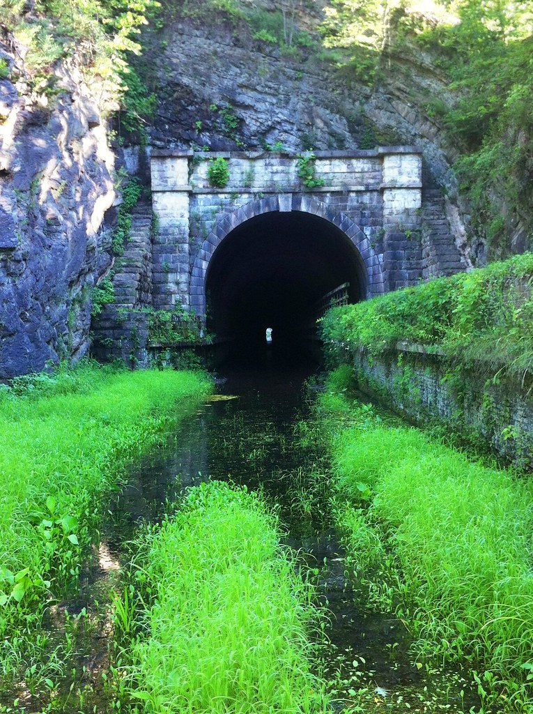 Paw Paw Tunnel Hill TrailHiking · ~1 min drivePhoto: randomduck, CC BY-SA 2.0 (via Flickr)
- Chesapeake and Ohio Canal TrailHiking · ~1 min drivePhoto: randomduck, CC BY-SA 2.0 (via Flickr)
- Chesapeake and Ohio Canal TrailHiking · ~2 min drive
- Great Eastern Trail - Green Ridge State ForestHiking · ~3 min drive
 Chesapeake and Ohio Canal TrailHiking · ~3 min drivePhoto: Fredlyfish4, CC BY-SA 4.0 (via Wikimedia Commons)
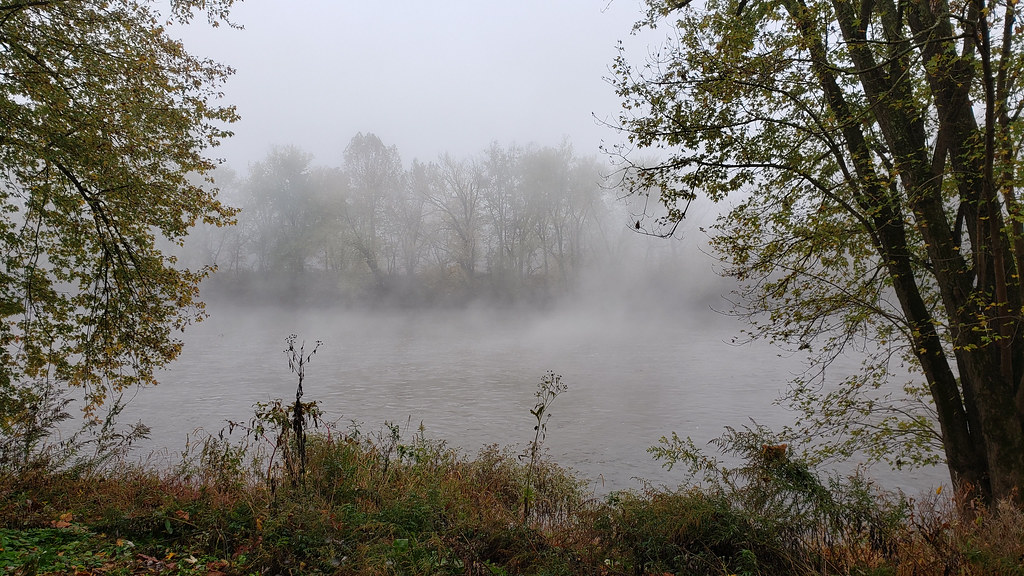 Long Pond Red TrailHiking · ~10 min drivePhoto: asciipip, CC BY-SA 2.0 (via Flickr)
- Log Roll Orange TrailHiking · ~8 min drive
- Chesapeake and Ohio Canal TrailHiking · ~10 min drive
 Chesapeake and Ohio Canal TrailHiking · ~6 min drivePhoto: John B. from Highland Park, NJ, United States, CC BY 2.0 (via Wikimedia Commons)
- Paw Paw Tunnel Hill TrailHiking · Next door
Best time to visit Chesapeake and Ohio Canal Trail
Best months: April–October. Best months have typical highs of 55–85 °F, lows of 30 °F or warmer (32 °F where the station doesn't record snow), at most one snowy day and no more than 12 wet days.
Jan
40° / 21°
7 wet
Feb
43° / 23°
6 wet
Mar
52° / 30°
8 wet
Apr
64° / 40°
10 wet
May
73° / 49°
11 wet
Jun
81° / 58°
10 wet
Jul
85° / 62°
9 wet
Aug
83° / 60°
9 wet
Sep
77° / 53°
8 wet
Oct
66° / 42°
7 wet
Nov
54° / 32°
6 wet
Dec
44° / 25°
7 wet
Typical high / low (°F) and days with rain or snow, 1991–2020. Measured at Cacapon St Pk #2, WV, 9.4 mi away at 958 ft. This station doesn't record snowfall. Source: NOAA NCEI U.S. Climate Normals 1991–2020.
Map and trail data © OpenStreetMap contributors
