Camp Fraser
Campground
Campground · 1.5 mi from the trail
 Photo: John Brighenti, CC BY 2.0 (via Flickr)
Closure in the area
There's a closure order in Chesapeake and Ohio Canal National Historical Park. It doesn't name Canyon Trail, so check the source for the area it covers.
Closures: Detours; Towpath; Points of Interest
Park closure covering Chesapeake and Ohio Canal National Historical Park · NPS · Chesapeake and Ohio Canal National Historical Park
Hiking in Gold Mine Tract
Park alert covering Chesapeake and Ohio Canal National Historical Park · NPS · Chesapeake and Ohio Canal National Historical Park
DC Water Sewer Overflow
Park alert covering Chesapeake and Ohio Canal National Historical Park · NPS · Chesapeake and Ohio Canal National Historical Park
As of · Source: NPS · Chesapeake and Ohio Canal National Historical Park. Agencies don't list every closure — check before you go.
Canyon Trail is an easy, short hike of about a mile that sits within the Chesapeake and Ohio Canal National Historical Park in Maryland, about half a mile from the Blockhouse Pt. Park. The trail is an out-and-back with a total elevation gain of 174 feet, and the highest point on the route is 323 feet. The climb is gentle, with the steepest stretch coming around the 0.45-mile mark. For comfortable weather, aim for late spring or early fall. Typical averages from a nearby weather station in Rockville run to highs of about 74°F in May and 77°F in September, with October cooling back to around 66°F. That station sits about 117 feet below the trail's high point, so expect temperatures on the trail to run a little cooler. The hike is a quick one, estimated to take about half an hour. Other trails start close by: Muddy Branch Greenway Trail is about 0.1 mile away and Upland Woods Trail about 0.3 mile, with Springhouse Trail and Blockhouse Trail each about 0.4 mile off.
Camp Fraser
Campground
 If it rainsAcroterion, CC BY-SA 4.0 · Wikimedia Commons
Gambrill House
Attraction
Historic mansion at Monocacy National Battlefield, Maryland, United States
Places © OpenStreetMap contributors, Places © Overture Maps Foundation · Photos: Acroterion, CC BY-SA 4.0 (commons)
More in Ballenger CreekMuddy Branch Greenway TrailHikingPhoto: John Brighenti, CC BY 2.0 (via Flickr)0.1 mi Upland Woods TrailHikingPhoto: Russ Davis, CC BY-SA 4.0 (via Wikimedia Commons)0.3 mi
 Springhouse TrailHikingPhoto: John Brighenti, CC BY 2.0 (via Flickr)0.4 miBlockhouse TrailHikingPhoto: Russ Davis, CC BY-SA 4.0 (via Wikimedia Commons)0.4 mi
 Seneca CreekCanoeingPhoto: Itoula, CC BY-SA 3.0 (via Wikimedia Commons)5 mi
 MicrodomeRock climbingPhoto: Famartin, CC BY-SA 4.0 (via Wikimedia Commons)5.7 mi
Source: Roamze catalog (indexable pages within 10 miles, PostGIS distance)
Upland Woods TrailHiking · Next doorPhoto: Russ Davis, CC BY-SA 4.0 (via Wikimedia Commons) Seneca Creek GreenwayHiking · ~3 min drivePhoto: Ken_Mayer, CC BY 2.0 (via Flickr)
 Potomac Heritage TrailHiking · ~6 min drivePhoto: Mrs. Gemstone, CC BY-SA 2.0 (via Flickr)Springhouse TrailHiking · Next doorPhoto: John Brighenti, CC BY 2.0 (via Flickr)
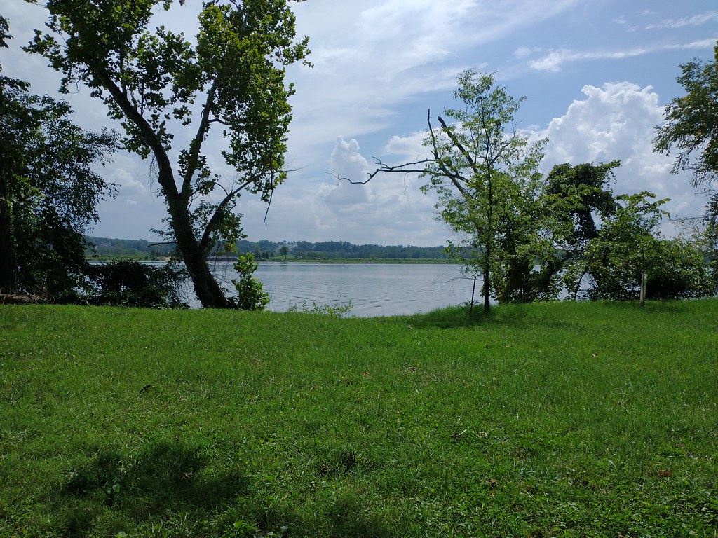 Chesapeake and Ohio Canal TrailHiking · ~3 min drivePhoto: Ken_Mayer, CC BY 2.0 (via Flickr)
 Chesapeake and Ohio Canal TrailHiking · ~7 min drivePhoto: JoshuaDavisPhotography, CC BY-SA 2.0 (via Wikimedia Commons)Blockhouse TrailHiking · Next doorPhoto: Russ Davis, CC BY-SA 4.0 (via Wikimedia Commons)
 Potomac Heritage TrailHiking · ~2 min drivePhoto: Russ Davis, CC BY-SA 4.0 (via Wikimedia Commons)
Best months: April–June and August–November. Best months have typical highs of 55–85 °F, lows of 30 °F or warmer (32 °F where the station doesn't record snow), at most one snowy day and no more than 12 wet days.
Jan
42° / 27°
10 wet
Feb
45° / 28°
8 wet
Mar
54° / 36°
11 wet
Apr
66° / 46°
11 wet
May
74° / 55°
11 wet
Jun
82° / 64°
10 wet
Jul
87° / 69°
9 wet
Aug
85° / 67°
8 wet
Sep
77° / 60°
9 wet
Oct
66° / 48°
8 wet
Nov
56° / 38°
8 wet
Dec
46° / 31°
10 wet
Typical high / low (°F) and days with rain or snow, 1991–2020. Measured at Rockville 1 Ne, MD, 8.7 mi away at 440 ft. This station doesn't record snowfall. Source: NOAA NCEI U.S. Climate Normals 1991–2020.
Map and trail data © OpenStreetMap contributors
