Camp Bennett
Campground
Campground · 6.0 mi from the trail
Blue Bird Loop Trail is a short, easy loop of about a mile on Regional Agency Land within Lois Y. Green CP in Maryland. The trail starts and ends at nearly the same elevation, with a high point of 544 feet and a low of 482 feet, and the climb is front-loaded, with the steepest stretch at about 0.95 miles in. The total gain is 154 feet, and the total loss is 177 feet, so the route is roughly balanced. Spring and fall are the most comfortable times to go. Typical averages from a nearby weather station in Rockville show May highs around 74°F and October highs around 66°F, while July averages about 87°F. The trail takes about half an hour to complete. Old Field Loop Trail is just 0.2 miles away, and Two Pond Loop and Butterfly Trail are within a mile. Rachel Carson Conservation Park, about 5 miles off, offers climbing.
Camp Bennett
Campground
 If it rainsAcroterion, CC BY-SA 4.0 · Wikimedia Commons
Gambrill House
Attraction
Historic mansion at Monocacy National Battlefield, Maryland, United States
Places © OpenStreetMap contributors, Places © Overture Maps Foundation · Photos: Acroterion, CC BY-SA 4.0 (commons)
More in Ballenger CreekNot on Roamze yet. Their page has how to reach them.
 Rachel Carson Conservation ParkRock climbingPhoto: John Brighenti from Rockville, MD, United States, CC BY 2.0 (via Wikimedia Commons)5 mi
 Seneca CreekCanoeingPhoto: Itoula, CC BY-SA 3.0 (via Wikimedia Commons)9.8 mi
Source: Roamze catalog (indexable pages within 10 miles, PostGIS distance)
 Goshen Branch trailHiking · ~4 min drivePhoto: edenpictures, CC BY 2.0 (via Flickr)
 Blue Mash Natural Surface TrailHiking · ~4 min drivePhoto: John Brighenti, CC BY 2.0 (via Flickr)Upper Rock Creek TrailHiking · ~5 min drivePhoto: John Brighenti, CC BY 2.0 (via Flickr)
 Parilla PathHiking · ~8 min drivePhoto: John Brighenti, CC BY 2.0 (via Flickr)
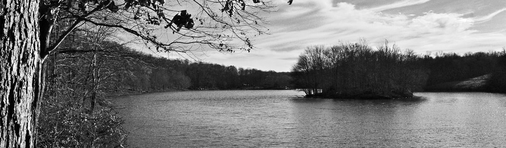 Upper Rock Creek TrailHiking · ~6 min drivePhoto: rcgtrrz, CC BY 2.0 (via Flickr)
 Lake Shore TrailHiking · ~9 min drivePhoto: randomduck, CC BY-SA 2.0 (via Flickr)Upper Rock Creek TrailHiking · ~6 min drivePhoto: rcgtrrz, CC BY 2.0 (via Flickr)
 Blue Mash Hiking TrailHiking · ~6 min drivePhoto: John Brighenti, CC BY 2.0 (via Flickr)
Best months: April–June and August–November. Best months have typical highs of 55–85 °F, lows of 30 °F or warmer (32 °F where the station doesn't record snow), at most one snowy day and no more than 12 wet days.
Jan
42° / 27°
10 wet
Feb
45° / 28°
8 wet
Mar
54° / 36°
11 wet
Apr
66° / 46°
11 wet
May
74° / 55°
11 wet
Jun
82° / 64°
10 wet
Jul
87° / 69°
9 wet
Aug
85° / 67°
8 wet
Sep
77° / 60°
9 wet
Oct
66° / 48°
8 wet
Nov
56° / 38°
8 wet
Dec
46° / 31°
10 wet
Typical high / low (°F) and days with rain or snow, 1991–2020. Measured at Rockville 1 Ne, MD, 5.5 mi away at 440 ft. This station doesn't record snowfall. Source: NOAA NCEI U.S. Climate Normals 1991–2020.
Map and trail data © OpenStreetMap contributors
