Little Bennett Campground
Campground
Campground · 3.8 mi from the trail
Black Hill Trail is a 3.6-mile point-to-point hike in Maryland, about a mile from the town of Burdette. It is an easy route with a total elevation gain of 199 feet, rising from about 410 feet to 535 feet. The trail is open to bikes, and horses are not allowed. The climb is gentle overall, with the steepest stretch at about 1.7 miles in, where the grade reaches 12 percent. Spring and fall are the most comfortable times to go. Typical averages from a nearby weather station in Damascus show May highs around 72°F and October highs around 64°F, with September and October the driest months. Several other trails sit close by. Hard Rock Trail is 0.4 miles away and Hamilton Trail is 0.6 miles away. Seneca Creek, about 5 miles off, offers canoeing, and Devil's Kitchen, roughly 7 miles away, is a climbing area.
Little Bennett Campground
Campground
 If it rainsAcroterion, CC BY-SA 4.0 · Wikimedia Commons
Gambrill House
Attraction
Historic mansion at Monocacy National Battlefield, Maryland, United States
Places © OpenStreetMap contributors, Places © Overture Maps Foundation · Photos: Acroterion, CC BY-SA 4.0 (commons)
More in Ballenger CreekNot on Roamze yet. Their page has how to reach them.
 Seneca CreekCanoeingPhoto: Itoula, CC BY-SA 3.0 (via Wikimedia Commons)5.4 mi
 Boy Scout LedgesRock climbingPhoto: Idawriter, CC BY-SA 3.0 (via Wikimedia Commons)7.3 miMiddle EarthRock climbingPhoto: Idawriter, CC BY-SA 3.0 (via Wikimedia Commons)7.3 mi
Source: Roamze catalog (indexable pages within 10 miles, PostGIS distance)
 Whitetail TrailHiking · ~6 min drivePhoto: John Brighenti from Rockville, MD, United States, CC BY 2.0 (via Wikimedia Commons)
 Lake Shore TrailHiking · ~7 min drivePhoto: randomduck, CC BY-SA 2.0 (via Flickr)
 Old Pond trailHiking · ~7 min drivePhoto: randomduck, CC BY-SA 2.0 (via Flickr)Bennett Ridge TrailHiking · ~7 min drivePhoto: John Brighenti from Rockville, MD, United States, CC BY 2.0 (via Wikimedia Commons)
 Beaver Valley TrailHiking · ~7 min drivePhoto: John Brighenti from Rockville, MD, United States, CC BY 2.0 (via Wikimedia Commons)Antler Ridge TrailHiking · ~8 min drivePhoto: John Brighenti from Rockville, MD, United States, CC BY 2.0 (via Wikimedia Commons)
 Mink Hollow TrailHiking · ~8 min drivePhoto: Nicolas Raymond from Bethesda, Maryland, USA, CC BY 2.0 (via Wikimedia Commons)
 Powerline TrailHiking · ~8 min drivePhoto: schvin, CC BY 2.0 (via Flickr)
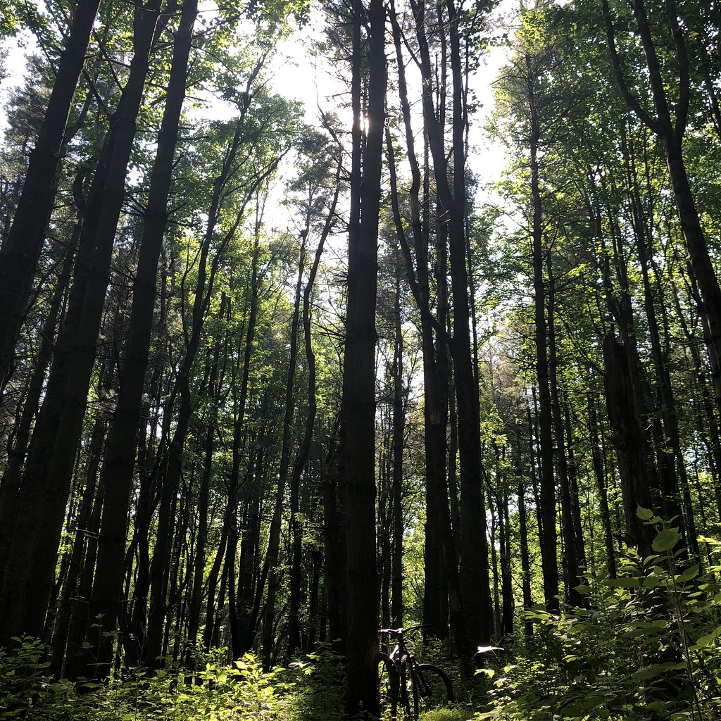 White Loop TrailHiking · ~8 min drivePhoto: schvin, CC BY 2.0 (via Flickr)
Best months: April–October. Best months have typical highs of 55–85 °F, lows of 30 °F or warmer (32 °F where the station doesn't record snow), at most one snowy day and no more than 12 wet days.
Jan
39° / 25°
10 wet
Feb
43° / 26°
10 wet
Mar
52° / 33°
10 wet
Apr
64° / 43°
11 wet
May
72° / 53°
11 wet
Jun
80° / 61°
11 wet
Jul
84° / 66°
10 wet
Aug
83° / 65°
10 wet
Sep
76° / 58°
9 wet
Oct
64° / 46°
9 wet
Nov
53° / 36°
9 wet
Dec
44° / 30°
10 wet
Typical high / low (°F) and days with rain or snow, 1991–2020. Measured at Damascus 3 Ssw, MD, 5.3 mi away at 700 ft. This station doesn't record snowfall. Source: NOAA NCEI U.S. Climate Normals 1991–2020.
Map and trail data © OpenStreetMap contributors
