 Photo: AMK1211, CC BY-SA 2.0 (via Wikimedia Commons)
Paddling · 86 spots
Featured spots
Photo: AMK1211, CC BY-SA 2.0 (via Wikimedia Commons)Canoeing
Choptank River
Goldsboro, Maryland
 Photo: Paul from USA, CC BY-SA 2.0 (via Wikimedia Commons)
Canoeing
Northwest Branch Anacostia River
Silver Spring, Maryland
 Photo: Acroterion, CC BY-SA 4.0 (via Wikimedia Commons)
Canoeing
Pocomoke River
Willards, Maryland
 Photo: Itoula, CC BY-SA 3.0 (via Wikimedia Commons)
Canoeing
Seneca Creek
Boyds, Maryland
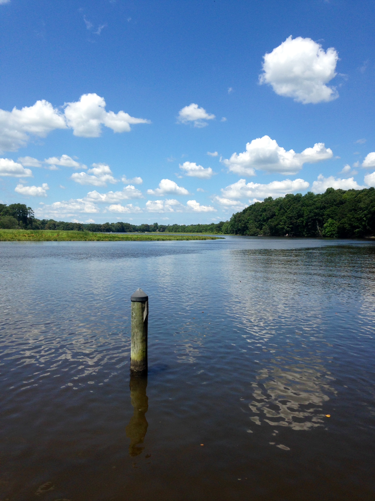 Photo: Sk5893, CC BY-SA 4.0 (via Wikimedia Commons)
Canoeing
Tuckahoe Creek
Queen Anne, Maryland
All spots · 86 spots

Boat launch
Allen's Lane
Maryland

Canoeing
Andover Branch
Sudlersville, Maryland

Canoeing
Antietam Creek
Hagerstown, Maryland

Boat launch
Bayside Landing Park
Maryland
Canoeing
Bennett Creek
Ijamsville, Maryland
Boat launch
Big Branch
Maryland
Boat launch
Big Run State Park Boat Ramp
Maryland
Boat launch
Breezy Point Marina
Maryland

Boat launch
Broad Creek Public Landing
Maryland
Boat launch
Brunswick Boat Ramp
Maryland
Boat launch
Canoe/Kayak Launch
Maryland

Boat launch
Canoe/Kayak Launch
Maryland
Boat launch
Carrs Wharf
Maryland
Canoeing
Chaptico Creek
Mechanicsville, Maryland
Boat launch
Community Boat Launch
Maryland
Boat launch
Conowingo Creek Boat Launch
Maryland
Boat launch
Coveys Landing
Maryland
Boat launch
Cox's Point Park Boat Ramp
Maryland
Boat launch
Crocheron Public Boat Ramp & Dock
Maryland
Boat launch
Cystal Beach Slipway
Maryland
Boat launch
Dogwood Harbor
Maryland
Boat launch
Dry Run Boat Ramp
Maryland
Boat launch
Farmington Wharf Boat Launch
Maryland
Canoeing
Fifteenmile Creek
Flintstone, Maryland
Keep exploring — more water worth the drive
Photo: Paul from USA, CC BY-SA 2.0 (via Wikimedia Commons)Northwest Branch Anacostia River
~41 min drive
Northwest Branch Anacostia River is a 13-mile paddling stretch near Silver Spring, Maryland. It flows year-round. USGS models an average flow of about 33 cfs and a gradient of about 21.6 feet per mile.
Tucker Street Boat Ramp
~8 min drive
Tucker Street Boat Ramp is a boat launch in Maryland.
Photo: Sk5893, CC BY-SA 4.0 (via Wikimedia Commons)Tuckahoe Creek
~1h drive
Tuckahoe Creek is a 4.4-mile paddling stretch near Queen Anne, Maryland. It flows year-round. USGS models an average flow of about 125 cfs and a gradient of about 3.1 feet per mile.
Truxton Park Boat Ramps
~9 min drive
Truxton Park Boat Ramps is a boat launch in Maryland.
Photo: Itoula, CC BY-SA 3.0 (via Wikimedia Commons)Seneca Creek
~1h 11m drive
Seneca Creek is a 1.5-mile paddling stretch near Boyds, Maryland. It flows year-round. USGS models an average flow of about 150 cfs and a gradient of about 7.2 feet per mile.
Carrs Wharf
~12 min drive
Carrs Wharf is a boat launch in Maryland.
Photo: AMK1211, CC BY-SA 2.0 (via Wikimedia Commons)Choptank River
~1h 17m drive
Choptank River is an 8.4-mile paddling stretch near Goldsboro, Maryland. It flows year-round. USGS models an average flow of about 182 cfs and a gradient of about 1.3 feet per mile.
Cystal Beach Slipway
~13 min drive
Cystal Beach Slipway is a boat launch in Maryland.
Middle Patuxent River
~43 min drive
Middle Patuxent River is a 19-mile paddling stretch near Clarksville, Maryland. It flows year-round. USGS models an average flow of about 69 cfs and a gradient of about 14.2 feet per mile.
Oakleigh Forest Community Boat Ramp
~13 min drive
Oakleigh Forest Community Boat Ramp is a boat launch in Maryland.
Little Falls Branch
~47 min drive
Little Falls Branch is a 2.7-mile paddling stretch near Bethesda, Maryland. It flows year-round. USGS models an average flow of about 250 cfs and a gradient of about 49.6 feet per mile.
Sandy Point State Park
~18 min drive
Sandy Point State Park is a boat launch in Maryland.
