White Trail
- 0.3 mi
- round trip
- 94 ft
- climb
- 202 ft
- high point
- Out and back
- route
- Aug–Sep
- best months
White Trail is a short, easy out-and-back hike in Maine's Schoolhouse Pond area, managed by a non-governmental organization. The trail is about 0.3 miles long, with a total elevation gain of 94 feet, and it takes roughly half an hour to complete. The route starts at an elevation of 173 feet and reaches a high point of 202 feet before returning to the start. The steepest stretch comes at about 0.2 miles in, with a grade of about 5 percent. The trail is short enough to fit into a quick stop, and the Yellow Trail lies just 0.2 miles away for an easy extension. Summer is the most comfortable time to go. Typical averages from a nearby weather station at Westport Island show July and August highs around 76°F with lows near 59°F, while winter highs stay in the 30s. Other trails close by include the Porter Preserve White Trail, about 1.9 miles away, and the White Blazed Trail, about 2.3 miles away. Climbers can find Tracy Shore Boulder about 5.9 miles from the trail.
- Yellow TrailHiking0.2 mi
 Porter Preserve White TrailHikingPhoto: Thom C, CC BY 2.0 (via Flickr)1.9 mi
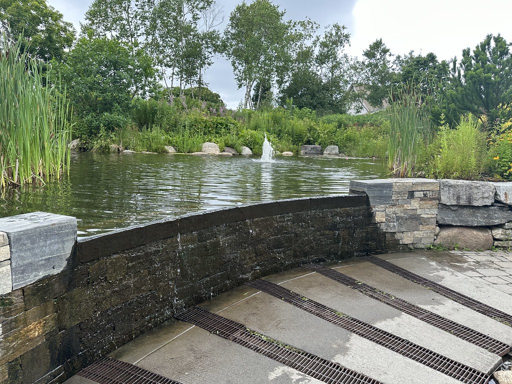 White Blazed TrailHikingPhoto: Thom C, CC BY 2.0 (via Flickr)2.3 mi
 Cedar Ledge TrailHikingPhoto: Paul VanDerWerf from Brunswick, Maine, USA, CC BY 2.0 (via Wikimedia Commons)2.5 mi
- Tracy Shore BoulderRock climbing5.9 mi
- Birch Point BoulderRock climbing6.2 mi
- d. MidcoastRock climbing6.9 mi
- Dodge PointRock climbing8.2 mi
Source: Roamze catalog (indexable pages within 10 miles, PostGIS distance)
- Porter Preserve White TrailHiking · ~3 min drivePhoto: Thom C, CC BY 2.0 (via Flickr)
- White Blazed TrailHiking · ~4 min drivePhoto: Thom C, CC BY 2.0 (via Flickr)
- Cedar Ledge TrailHiking · ~4 min drivePhoto: Paul VanDerWerf from Brunswick, Maine, USA, CC BY 2.0 (via Wikimedia Commons)
- White TrailHiking · ~5 min drivePhoto: Paul VanDerWerf from Brunswick, Maine, USA, CC BY 2.0 (via Wikimedia Commons)
 Junction Loop TrailHiking · ~6 min drivePhoto: Paul VanDerWerf from Brunswick, Maine, USA, CC BY 2.0 (via Wikimedia Commons)
- Mill Cove TrailHiking · ~6 min drivePhoto: Paul VanDerWerf from Brunswick, Maine, USA, CC BY 2.0 (via Wikimedia Commons)
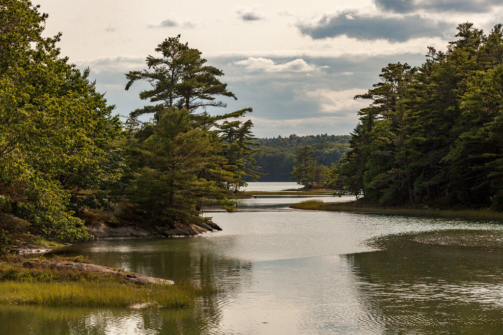 River Link (Yellow Trail)Hiking · ~6 min drivePhoto: aerugino, CC BY 2.0 (via Flickr)
- Yellow TrailHiking · ~6 min drivePhoto: Paul VanDerWerf from Brunswick, Maine, USA, CC BY 2.0 (via Wikimedia Commons)
 Thomas Point TrailHiking · ~6 min drivePhoto: Paul VanDerWerf from Brunswick, Maine, USA, CC BY 2.0 (via Wikimedia Commons)
- White TrailHiking · ~6 min drivePhoto: aerugino, CC BY 2.0 (via Flickr)
Best time to visit White Trail
Best months: August–September. Best months have typical highs of 55–85 °F, lows of 30 °F or warmer (32 °F where the station doesn't record snow), at most one snowy day and no more than 12 wet days.
Jan
31° / 14°
12 wet
Feb
33° / 16°
10 wet
Mar
41° / 24°
11 wet
Apr
51° / 34°
12 wet
May
62° / 44°
15 wet
Jun
70° / 53°
15 wet
Jul
76° / 59°
13 wet
Aug
76° / 59°
11 wet
Sep
69° / 51°
10 wet
Oct
58° / 42°
13 wet
Nov
47° / 32°
13 wet
Dec
37° / 22°
13 wet
Typical high / low (°F) and days with rain or snow, 1991–2020. Measured at Westport Island, ME, 2.1 mi away at 90 ft. This station doesn't record snowfall. Source: NOAA NCEI U.S. Climate Normals 1991–2020.
Map and trail data © OpenStreetMap contributors
