Vulture's View
- 0.5 mi
- round trip
- 550 ft
- climb
- 652 ft
- high point
- Out and back
- route
- Apr–Oct
- best months
Vulture's View is a short out-and-back trail in Maine managed by the Regional Agency Land. The trail is 0.46 miles and gains 143 feet of elevation, with 296 feet of elevation loss on the return.
Conditions and forecast on Mount Agamenticus
Daily highs and lows, wind and the chance of precipitation at the summit and route start for the next 7 days, from the Open-Meteo model.
- Big AHiking0.1 mi
- Chestnut OakHiking0.2 mi
- Ring TrailHiking0.2 mi
- WintergreenHiking0.3 mi
- Kenyon Hill PreserveRock climbing2.4 mi
- Two and a Half BouldermenRock climbing2.4 mi
- The Whale BoulderRock climbing2.4 mi
- Amigos TraverseRock climbing2.4 mi
Source: Roamze catalog (indexable pages within 10 miles, PostGIS distance)
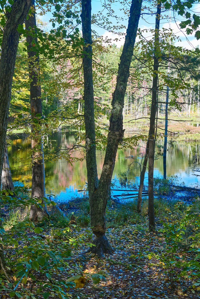 Checkerberry TrailHiking · ~4 min drivePhoto: GOC53, CC BY 2.0 (via Flickr)
 YKWD - Blue TrailHiking · ~5 min drivePhoto: En el nido (Nest), CC BY 3.0 (via Wikimedia Commons)
 Patti’s WayHiking · ~6 min drivePhoto: GOC53, CC BY 2.0 (via Flickr)
- YWD - Red TrailHiking · ~2 min drive
 Big Bump TrailHiking · ~6 min drivePhoto: GOC53, CC BY 2.0 (via Flickr)
- Norman Mill TrailHiking · ~2 min drive
- Lachance Point TrailHiking · ~6 min drivePhoto: GOC53, CC BY 2.0 (via Flickr)
- YWD/KWD - Silver TrailHiking · ~2 min drive
- Orris Falls TrailHiking · ~6 min drivePhoto: GOC53, CC BY 2.0 (via Flickr)
- KWD/YWD - Yellow TrailHiking · ~5 min drive
Best time to visit Vulture's View
Best months: April–October. Best months have typical highs of 55–85 °F, lows of 30 °F or warmer (32 °F where the station doesn't record snow), at most one snowy day and no more than 12 wet days.
Jan
32° / 14°
11 wet
Feb
35° / 16°
9 wet
Mar
42° / 24°
11 wet
Apr
56° / 34°
11 wet
May
66° / 44°
12 wet
Jun
74° / 54°
11 wet
Jul
79° / 61°
10 wet
Aug
79° / 59°
9 wet
Sep
71° / 51°
8 wet
Oct
59° / 40°
10 wet
Nov
48° / 31°
11 wet
Dec
38° / 21°
12 wet
Typical high / low (°F) and days with rain or snow, 1991–2020. Measured at Cape Neddick, ME, 2.7 mi away at 152 ft. The station sits about 500 ft lower than this place, so expect it a little cooler here. This station doesn't record snowfall. Source: NOAA NCEI U.S. Climate Normals 1991–2020.
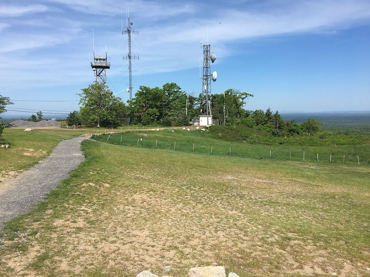
Route details
- Distance
- 0.5 mi round trip
- Climbing
- About 550 ft
- Summit
- 692 ft
- Difficulty
- Easy
- Time
- About 0 hours
Other routes up Mount Agamenticus
Questions about this route
How long is the Vulture's View on Mount Agamenticus?
About 0.5 mi round trip.
How much elevation gain is on the Vulture's View?
About 550 ft of climbing round trip.
How hard is the Vulture's View?
It is rated easy.
How long does the Vulture's View take?
About 0 hours round trip.
How many routes go up Mount Agamenticus?
2: Big A and Vulture's View.
Map and trail data © OpenStreetMap contributors
