Schoodic Head Trail
 Photo: G.Galeotti, CC BY-SA 2.0 (via Flickr)
- 0.6 mi
- round trip
- 853 ft
- climb
- 440 ft
- high point
- Out and back
- route
- Jun–Oct
- best months
Is Schoodic Head Trail open right now?
Closure in the area
There's a closure order in Acadia National Park. It doesn't name Schoodic Head Trail, so check the source for the area it covers (2 listed).
Cadillac Summit Road closed to all users Nov 9-25 and Dec 1-18
Park closure covering Acadia National Park · NPS · Acadia National Park
Eastern Section of Beech Mountain Loop Trail Closed for Repairs
Park closure covering Acadia National Park · NPS · Acadia National Park
As of · Source: NPS · Acadia National Park. Agencies don't list every closure — check before you go.
Schoodic Head Trail is a short, easy out-and-back hike in Acadia National Park in Maine, managed by the National Park Service. The trail is about 0.6 miles long, and the round trip adds up to roughly 1.2 miles with a total elevation gain of about 850 feet. The high point on the route reaches about 440 feet, and the steepest stretch comes around the middle of the trail, with a grade of about 48 percent. Summer is the most comfortable time to go. Typical averages from a nearby weather station show July highs around 79°F with lows near 60°F, while September cools to highs around 71°F. The trail sits close to several other routes. East Trail and Buck Cove Mountain Trail are each about 0.1 mile away, and Alder Trail is about 0.4 mile off. Climbers can find The Precipice, also known as The South Wall, about 6.8 miles away.
Local outfitters
- Atlantic Climbing School8 mi away
Not on Roamze yet. Their page has how to reach them.
- East TrailHikingPhoto: G.Galeotti, CC BY-SA 2.0 (via Flickr)0.1 mi
 Buck Cove Mountain TrailHikingPhoto: Unhindered by Talent, CC BY-SA 2.0 (via Flickr)0.1 mi
- Alder TrailHikingPhoto: G.Galeotti, CC BY-SA 2.0 (via Flickr)0.4 mi
- Anvil TrailHikingPhoto: Unhindered by Talent, CC BY-SA 2.0 (via Flickr)0.8 mi
 The Precipice aka The South WallRock climbingPhoto: Fredlyfish4, CC BY-SA 4.0 (via Wikimedia Commons)6.8 mi
- -MDI BoulderingRock climbing7.7 mi
- Acadia National ParkRock climbing8.5 mi
 Upper Slab and Upper WallRock climbingPhoto: Fredlyfish4, CC BY-SA 4.0 (via Wikimedia Commons)10 mi
Source: Roamze catalog (indexable pages within 10 miles, PostGIS distance)
- East TrailHiking · Next doorPhoto: G.Galeotti, CC BY-SA 2.0 (via Flickr)
- Buck Cove Mountain TrailHiking · Next doorPhoto: Unhindered by Talent, CC BY-SA 2.0 (via Flickr)
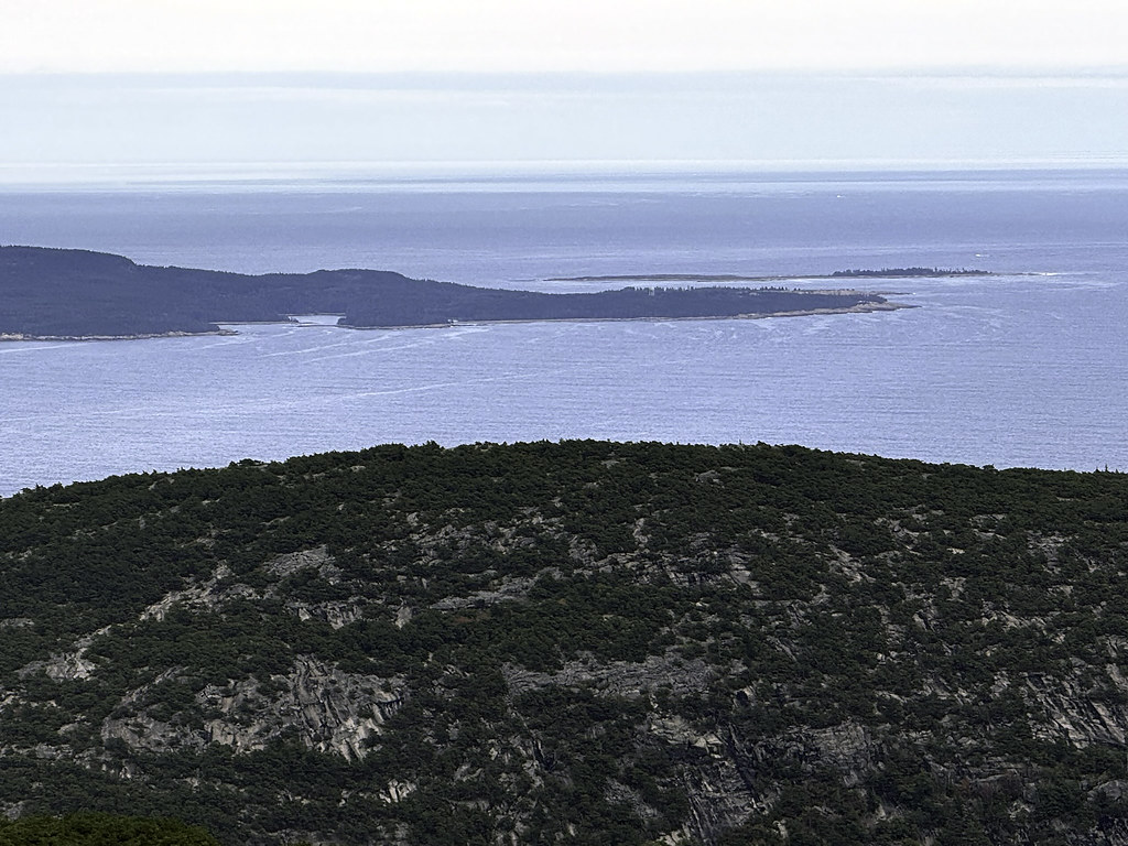 Schiff PathHiking · ~13 min drivePhoto: Klieg, Public Domain Mark (via Flickr)
- Alder TrailHiking · Next doorPhoto: G.Galeotti, CC BY-SA 2.0 (via Flickr)
- Anvil TrailHiking · ~1 min drivePhoto: Unhindered by Talent, CC BY-SA 2.0 (via Flickr)
 Schoodic Woods Campground WalkwayHiking · ~4 min drivePhoto: nightthree, CC BY 2.0 (via Flickr)
 Orange & Black PathHiking · ~12 min drivePhoto: Fredlyfish4, CC BY-SA 4.0 (via Wikimedia Commons)
 Lower Harbor TrailHiking · ~5 min drivePhoto: nightthree, CC BY 2.0 (via Flickr)
 Bowl TrailHiking · ~12 min drivePhoto: Dougtone, CC BY-SA 2.0 (via Wikimedia Commons)
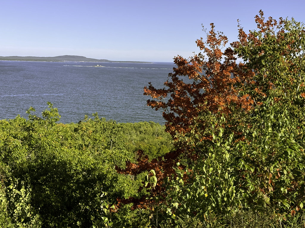 Murphy LaneHiking · ~11 min drivePhoto: Klieg, Public Domain Mark (via Flickr)
Best time to visit Schoodic Head Trail
Best months: June–October. Best months have typical highs of 55–85 °F, lows of 30 °F or warmer (32 °F where the station doesn't record snow), at most one snowy day and no more than 12 wet days.
Jan
33° / 15°
12 wet
Feb
35° / 18°
10 wet
Mar
42° / 25°
12 wet
Apr
53° / 35°
12 wet
May
65° / 45°
13 wet
Jun
74° / 54°
12 wet
Jul
79° / 60°
11 wet
Aug
78° / 60°
10 wet
Sep
71° / 53°
11 wet
Oct
58° / 43°
12 wet
Nov
48° / 33°
12 wet
Dec
38° / 22°
13 wet
Typical high / low (°F) and days with rain or snow, 1991–2020. Measured at Acadia Np, ME, 10.3 mi away at 470 ft. This station doesn't record snowfall. Source: NOAA NCEI U.S. Climate Normals 1991–2020.


Route details
- Distance
- 0.6 mi round trip
- Climbing
- About 853 ft
- Summit
- 440 ft
- Difficulty
- Easy
- Time
- About 0 hours
Other routes up Schoodic Head
Questions about this route
How long is the Schoodic Head Trail on Schoodic Head?
About 0.6 mi round trip.
How much elevation gain is on the Schoodic Head Trail?
About 853 ft of climbing round trip.
How hard is the Schoodic Head Trail?
It is rated easy.
How long does the Schoodic Head Trail take?
About 0 hours round trip.
How many routes go up Schoodic Head?
4: East Trail, Schoodic Head Trail, Buck Cove Mountain Trail and Anvil Trail.
Conditions and forecast on Schoodic Head
Daily highs and lows, wind and the chance of precipitation at the summit and route start for the next 7 days, from the Open-Meteo model.
Map and trail data © OpenStreetMap contributors
