River Link
 Photo: dsearls, CC BY-SA 2.0 (via Flickr)
- 5.5 mi
- one way
- 614 ft
- climb
- 234 ft
- high point
- Point to point
- route
- Sep
- best months
River Link is a 5.5-mile point-to-point hike in Maine, about 0.8 miles from the town of Edgecomb. The route rises from a low of about 60 feet to a high of 234 feet, with a total elevation gain of 614 feet. The climb is rated easy, and the trip takes about two hours. Summer is the most comfortable time to go. Typical averages from a nearby weather station in Wiscasset show July and August highs around 79°F with lows in the upper 50s, while winter highs stay near freezing. The Yellow Trail lies about 0.8 miles away and the White Trail about 1.1 miles away. The Cross River Preserve Trail is about 2.2 miles off, and the Dodge Point climbing area is about 4.2 miles away.
Best time to go · Sep
Best time to visit River Link
Best months: September. Best months have typical highs of 55–85 °F, lows of 30 °F or warmer (32 °F where the station doesn't record snow), at most one snowy day and no more than 12 wet days.
Jan
32° / 12°
12 wet
Feb
35° / 14°
10 wet
Mar
43° / 23°
11 wet
Apr
54° / 33°
12 wet
May
65° / 42°
13 wet
Jun
74° / 52°
13 wet
Jul
79° / 58°
13 wet
Aug
79° / 57°
13 wet
Sep
71° / 49°
12 wet
Oct
59° / 38°
13 wet
Nov
48° / 29°
12 wet
Dec
38° / 20°
13 wet
Typical high / low (°F) and days with rain or snow, 1991–2020. Measured at Wiscasset Ap, ME, 4.7 mi away at 68 ft. This station doesn't record snowfall. Source: NOAA NCEI U.S. Climate Normals 1991–2020.
Keep exploring — more trails worth the drive
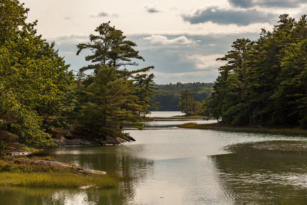 Photo: aerugino, CC BY 2.0 (via Flickr)
Yellow Trail
~1 min drive
0.98-mile out-and-back trail in Maine with 264 ft of elevation gain.
 Photo: Cgg1, CC BY-SA 3.0 (via Wikimedia Commons)
Blue Trail
~10 min drive
0.30-mile out-and-back trail in Maine with 76 ft elevation gain.
Photo: aerugino, CC BY 2.0 (via Flickr)White Trail
~2 min drive
0.95-mile loop in Maine with 120 ft elevation gain
HIKE
Shore Trail
~8 min drive
2.02-mile out-and-back trail in Maine with 1,347 ft elevation gain/loss.
Photo: aerugino, CC BY 2.0 (via Flickr)River Link (Yellow Trail)
~2 min drive
1.54-mile out-and-back trail in Maine with 252 ft elevation gain
Photo: Cgg1, CC BY-SA 3.0 (via Wikimedia Commons)Blue Trail
~9 min drive
0.66-mile out-and-back trail in Maine with 83 ft of elevation gain.
Photo: Cgg1, CC BY-SA 3.0 (via Wikimedia Commons)Gale's Trail
~9 min drive
0.43-mile loop trail in Maine with 56 ft elevation gain and loss.
 Photo: Thom C, CC BY 2.0 (via Flickr)
Porter Preserve White Trail
~10 min drive
0.58-mile loop trail in Maine with 195 ft elevation gain and loss.
 Photo: Paul VanDerWerf from Brunswick, Maine, USA, CC BY 2.0 (via Wikimedia Commons)
Cedar Ledge Trail
~10 min drive
0.48-mile loop trail in Maine with 24 ft gain and 111 ft loss.
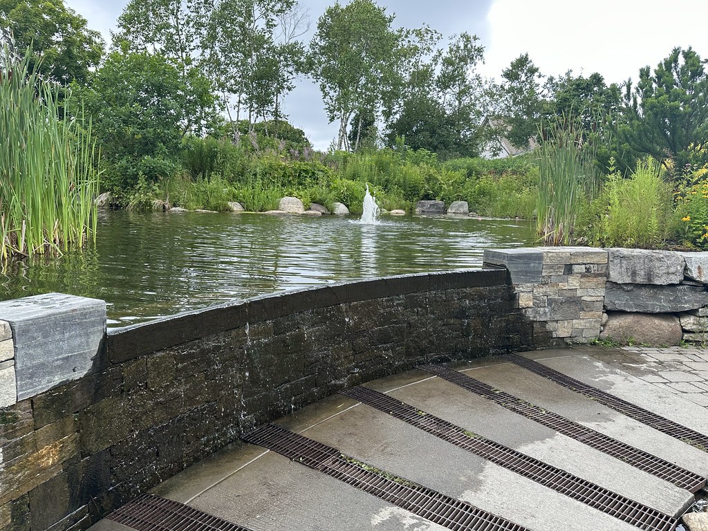 Photo: Thom C, CC BY 2.0 (via Flickr)
White Blazed Trail
~10 min drive
0.69-mile loop in Maine with 187 ft of elevation gain
Map and trail data © OpenStreetMap contributors
