Ridge Trail
 Photo: Magicpiano, CC BY-SA 3.0 (via Wikimedia Commons)
- 0.9 mi
- round trip
- 237 ft
- climb
- 168 ft
- high point
- Out and back
- route
- May–Oct
- best months
Ridge Trail is a short, easy out-and-back hike on Mast Landing Sanctuary in Maine, managed by the State Department of Conservation. It covers about 1.8 miles round trip, with a total elevation gain of 237 feet, and the climb is steady, starting near 120 feet and peaking at 168 feet. The steepest stretch comes early in the route, at about 0.15 miles in, with a grade of roughly 6 percent. Summer is the most comfortable time to go. Typical averages from a nearby weather station show July highs around 79°F with lows near 59°F, while winter highs stay in the 30s. The trip takes about half an hour, and the trail sits close to other routes. Deer Run Trail is just 0.1 mile away, Mill Stream Trail is 0.3 mile off, and Lower Mast Landing Trail is 0.5 mile away. Climbers can head to Dead Man's Area, about 2.8 miles from the trail.
- Deer Run TrailHikingPhoto: Magicpiano, CC BY-SA 3.0 (via Wikimedia Commons)0.1 mi
- Mill Stream TrailHiking0.3 mi
- Lower Mast Landing TrailHiking0.5 mi
- Dead Man's AreaRock climbing2.8 mi
- South Freeport BouldersRock climbing2.8 mi
- Cat Pine BoulderRock climbing2.8 mi
- Chandler BrookCanoeing6.8 mi
- Royal River Water TrailCanoeing9.3 mi
Source: Roamze catalog (indexable pages within 10 miles, PostGIS distance)
- Deer Run TrailHiking · Next doorPhoto: Magicpiano, CC BY-SA 3.0 (via Wikimedia Commons)
 Yellow TrailHiking · ~2 min drivePhoto: Paul VanDerWerf from Brunswick, Maine, USA, CC BY 2.0 (via Wikimedia Commons)
- Blue TrailHiking · ~2 min drivePhoto: Paul VanDerWerf from Brunswick, Maine, USA, CC BY 2.0 (via Wikimedia Commons)
- Mitchell Ledge TrailHiking · ~2 min drivePhoto: Magicpiano, CC BY-SA 3.0 (via Wikimedia Commons)
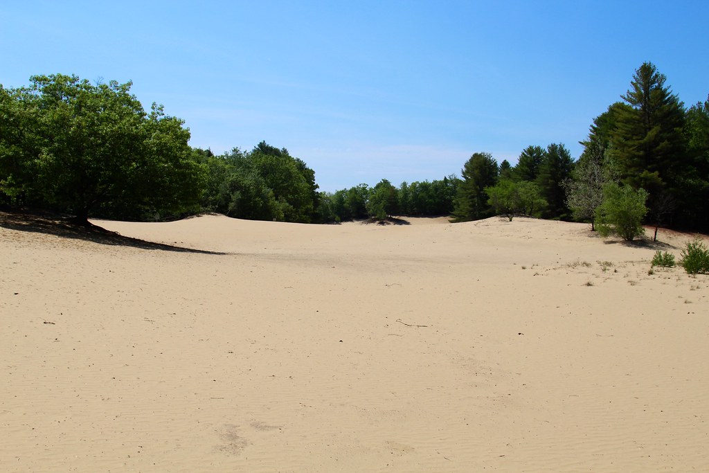 Keith LoopHiking · ~4 min drivePhoto: daveynin, CC BY 2.0 (via Flickr)
 Old Woods Road TrailHiking · ~5 min drivePhoto: computationalmystic, CC BY 2.0 (via Flickr)
- Harraseeket TrailHiking · ~5 min drivePhoto: computationalmystic, CC BY 2.0 (via Flickr)
- White Pines TrailHiking · ~5 min drivePhoto: computationalmystic, CC BY 2.0 (via Flickr)
 Power Line TrailHiking · ~5 min drivePhoto: computationalmystic, CC BY 2.0 (via Flickr)
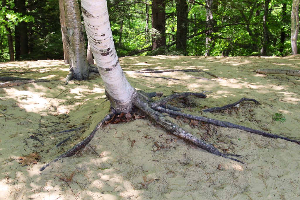 Harvey Brook TrailHiking · ~7 min drivePhoto: daveynin, CC BY 2.0 (via Flickr)
Best time to visit Ridge Trail
Best months: May–October. Best months have typical highs of 55–85 °F, lows of 30 °F or warmer (32 °F where the station doesn't record snow), at most one snowy day and no more than 12 wet days.
Jan
30° / 12°
11 wet
Feb
33° / 14°
10 wet
Mar
41° / 23°
12 wet
Apr
53° / 32°
11 wet
May
64° / 44°
12 wet
Jun
73° / 53°
11 wet
Jul
79° / 59°
11 wet
Aug
78° / 58°
9 wet
Sep
70° / 50°
9 wet
Oct
58° / 39°
11 wet
Nov
47° / 30°
11 wet
Dec
37° / 20°
12 wet
Typical high / low (°F) and days with rain or snow, 1991–2020. Measured at Brunswick Nas, ME, 8 mi away at 70 ft. This station doesn't record snowfall. Source: NOAA NCEI U.S. Climate Normals 1991–2020.
Map and trail data © OpenStreetMap contributors
