Red Pine Loop
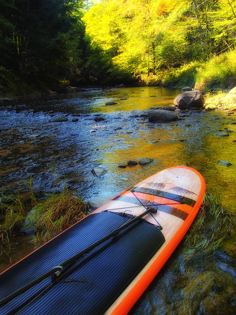 Photo: Jack.Flanagan, CC BY 2.0 (via Flickr)
- 0.5 mi
- loop
- 105 ft
- climb
- 194 ft
- high point
- Loop
- route
- May–Oct
- best months
Clear today
Weather is good · OpenWeather · checked 8 h ago
Red Pine Loop is a short loop hike of about half a mile in Maine, roughly a mile from the town of Gorham. The trail's elevation gain is about 105 feet, and its high point is 194 feet, so it's a gentle, easy outing for a walk or a break from the car. The loop starts at around 175 feet and rises to the high point before returning to a similar elevation. The steepest stretch is about 0.27 miles in, with a grade of 7 percent. The whole route takes about half an hour, so it fits easily into a short stop in town. Summer and early fall are the most comfortable times to go. Typical averages from the nearby Portland airport weather station show July and August highs around 79°F with lows near 60°F, and September highs around 71°F with the fewest wet days of the year. Other trails sit close by. Tannery Trunk Trail is about 0.2 miles away, Yellow Trail is about 0.3 miles away, and Claire Drew South Trail is about 0.5 miles away. For paddling, the Presumpscot River is about 8 miles off.
- Tannery Trunk TrailHikingPhoto: Jack.Flanagan, CC BY 2.0 (via Flickr)0.2 mi
- Yellow TrailHiking0.3 mi
- Claire Drew South TrailHiking0.5 mi
- Claire Drew North TrailHiking0.5 mi
 Pasture LoopHikingPhoto: Jack.Flanagan, CC BY 2.0 (via Flickr)1 mi
- Cross Town TrailHiking1.1 mi
- Climb Trail 1Hiking1.2 mi
 Presumpscot RiverCanoeingPhoto: Dr StrangeHat, Public domain (via Wikimedia Commons)8.3 mi
Source: Roamze catalog (indexable pages within 10 miles, PostGIS distance)
- Tannery Trunk TrailHiking · Next doorPhoto: Jack.Flanagan, CC BY 2.0 (via Flickr)
- Mill Brook Preserve TrailHiking · ~7 min drive
- Pasture LoopHiking · ~2 min drivePhoto: Jack.Flanagan, CC BY 2.0 (via Flickr)
 White TrailHiking · ~2 min drivePhoto: Jack.Flanagan, CC BY 2.0 (via Flickr)
- Blue TrailHiking · ~2 min drivePhoto: Jack.Flanagan, CC BY 2.0 (via Flickr)
 Cumberland-Oxford Canal TowpathHiking · ~5 min drivePhoto: Magicpiano, CC BY-SA 3.0 (via Wikimedia Commons)
- Tow PathHiking · ~6 min drivePhoto: Magicpiano, CC BY-SA 3.0 (via Wikimedia Commons)
- Presumpscot River TrailHiking · ~6 min drivePhoto: Magicpiano, CC BY-SA 3.0 (via Wikimedia Commons)
 Sugar Maple TrailHiking · ~7 min drivePhoto: Matthew Simoneau, CC BY 2.0 (via Flickr)
- Wood Duck TrailHiking · ~7 min drivePhoto: Matthew Simoneau, CC BY 2.0 (via Flickr)
Best time to visit Red Pine Loop
Best months: May–October. Best months have typical highs of 55–85 °F, lows of 30 °F or warmer (32 °F where the station doesn't record snow), at most one snowy day and no more than 12 wet days.
Jan
32° / 16°
11 wet
Feb
35° / 17°
10 wet
Mar
42° / 26°
11 wet
Apr
54° / 35°
11 wet
May
64° / 46°
12 wet
Jun
74° / 55°
11 wet
Jul
79° / 61°
11 wet
Aug
79° / 60°
10 wet
Sep
71° / 52°
9 wet
Oct
59° / 41°
11 wet
Nov
48° / 32°
11 wet
Dec
38° / 22°
12 wet
Typical high / low (°F) and days with rain or snow, 1991–2020. Measured at Portland Intl Jetport, ME, 7.5 mi away at 45 ft. This station doesn't record snowfall. Source: NOAA NCEI U.S. Climate Normals 1991–2020.
Map and trail data © OpenStreetMap contributors
