Mingo Springs Trail
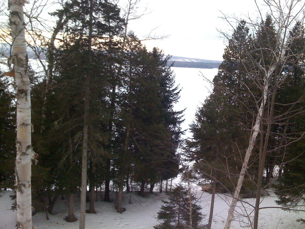 Photo: Sherri Barras, CC BY 2.0 (via Flickr)
- 2.6 mi
- loop
- 230 ft
- climb
- 1,823 ft
- high point
- Loop
- route
Clear at last check
Weather is good · OpenWeather · checked 23 h ago
Mingo Springs Trail is a 2.6-mile loop hike in western Maine, about a mile from the village of Mingo Springs. The trail rises from 1,768 feet to 1,823 feet, with a total elevation gain of 230 feet, and it is rated easy. The climb is gentle, with the steepest stretch at about 0.3 miles in, where the grade reaches 9 percent. Summer is the most comfortable time to go. Typical averages from a nearby weather station in Rangeley show July highs around 75°F with lows near 53°F, while winter highs stay in the 20s. The hike takes about an hour. Hatchery Book Preserve Loop is 1.7 miles away, and Bonney Point Trail is 2.2 miles away. South Bog Interpretive Trail and Bald Mountain Summit Trail are both within about 4 miles.
- Hatchery Book Preserve LoopHiking1.7 mi
- Bonney Point TrailHiking2.2 mi
 South Bog Interpretive TrailHikingPhoto: Paul VanDerWerf from Brunswick, Maine, USA, CC BY 2.0 (via Wikimedia Commons)3.4 mi
 Bald Mountain Summit TrailHikingPhoto: cloud2013, CC BY 2.0 (via Wikimedia Commons)4.1 mi
- Lift LineSki touring4.2 mi
- Bald Mountain TrailHikingPhoto: cloud2013, CC BY 2.0 (via Wikimedia Commons)4.2 mi
- ShortcutSki touring4.2 mi
- Kennebago RiverRiver fishing8.7 mi
Source: Roamze catalog (indexable pages within 10 miles, PostGIS distance)
- South Bog Interpretive TrailHiking · ~6 min drivePhoto: Paul VanDerWerf from Brunswick, Maine, USA, CC BY 2.0 (via Wikimedia Commons)
 Grey Ghost PathHiking · ~14 min drivePhoto: Jack.Flanagan, CC BY 2.0 (via Flickr)
 Little Jackson Mountain TrailHiking · ~31 min drivePhoto: Spenceregan7, CC BY 3.0 (via Wikimedia Commons)
- Bald Mountain Summit TrailHiking · ~7 min drivePhoto: cloud2013, CC BY 2.0 (via Wikimedia Commons)
 Berry Picker's TrailHiking · ~17 min drivePhoto: John Hayes (gravelboy), CC BY 2.0 (via Flickr)
- Appalachian National Scenic TrailHiking · ~16 min drive
- Bald Mountain TrailHiking · ~7 min drivePhoto: cloud2013, CC BY 2.0 (via Wikimedia Commons)
- Brook TrailHiking · ~28 min drivePhoto: Spenceregan7, CC BY 3.0 (via Wikimedia Commons)
- Appalachian TrailHiking · ~30 min drive
 Rangeley River TrailHiking · ~8 min drivePhoto: Dougtone, CC BY-SA 2.0 (via Flickr)
Best time to visit Mingo Springs Trail
No month here meets our mild-weather rule. Best months have typical highs of 55–85 °F, lows of 30 °F or warmer (32 °F where the station doesn't record snow), at most one snowy day and no more than 12 wet days.
Jan
22° / 2°
16 wet
Feb
25° / 3°
13 wet
Mar
33° / 12°
13 wet
Apr
46° / 26°
13 wet
May
61° / 38°
15 wet
Jun
70° / 48°
16 wet
Jul
75° / 53°
15 wet
Aug
73° / 51°
13 wet
Sep
66° / 43°
13 wet
Oct
52° / 33°
14 wet
Nov
39° / 23°
15 wet
Dec
28° / 11°
18 wet
Typical high / low (°F) and days with rain or snow, 1991–2020. Measured at Rangeley 2 Nw, ME, 2.1 mi away at 1,780 ft. This station doesn't record snowfall. Source: NOAA NCEI U.S. Climate Normals 1991–2020.
Map and trail data © OpenStreetMap contributors
