MacDonald Conservation Area Trail
- 3.4 mi
- round trip
- 875 ft
- climb
- 605 ft
- high point
- Out and back
- route
- Aug–Oct
- best months
The MacDonald Conservation Area Trail is a moderate out-and-back hike in Maine's Readfield Town Forest, a Regional Agency Land unit. The route runs about 6.8 miles round trip, with a steady climb that carries hikers to a high point of 605 feet. The start sits at 510 feet, and the total elevation gain and loss each amount to 875 feet. The steepest stretch comes at about 1.6 miles, where the grade reaches 10%. Summer is the most comfortable time to go. Typical averages from the Livermore Falls weather station, about 10.5 miles away, put July highs near 80°F with lows around 57°F. That station sits roughly 225 feet lower than the trail's high point, so temperatures up high run cooler. The trip takes about 2.5 hours. The trail lies within a cluster of other trails. The Blueberry Trail and Ledges Trail are each about 4 miles away, and the Fogg Farm Trails are about 4.1 miles off. Paddlers can reach the Dead River, about 3.3 miles away.
- Dead RiverCanoeing3.3 mi
- Blueberry TrailHiking4 mi
- Ledges TrailHiking4.1 mi
 Fogg Farm TrailsHikingPhoto: Justin Henry from Portland, ME, USA, CC BY-SA 2.0 (via Wikimedia Commons)4.1 mi
 Oak Hill Conservation Area TrailHikingPhoto: Magicpiano, CC BY-SA 4.0 (via Wikimedia Commons)4.5 mi
- Tower TrailHiking4.5 mi
- Gott Pasture Preserve trailHiking4.8 mi
- Baldwin Hill TrailHiking5.1 mi
Source: Roamze catalog (indexable pages within 10 miles, PostGIS distance)
- Fogg Farm TrailsHiking · ~7 min drivePhoto: Justin Henry from Portland, ME, USA, CC BY-SA 2.0 (via Wikimedia Commons)
 A-TrailHiking · ~21 min drivePhoto: Knightway, CC BY-SA 4.0 (via Wikimedia Commons)
- Whistle Stop TrailHiking · ~20 min drive
- Oak Hill Conservation Area TrailHiking · ~8 min drivePhoto: Magicpiano, CC BY-SA 4.0 (via Wikimedia Commons)
- Round Top TrailHiking · ~21 min drivePhoto: Knightway, CC BY-SA 4.0 (via Wikimedia Commons)
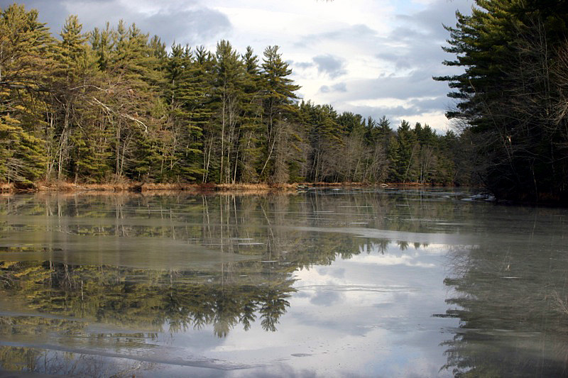 Porcupine TrailHiking · ~20 min drivePhoto: nightthree, CC BY 2.0 (via Flickr)
 Kennebec Highlands TrailHiking · ~23 min drivePhoto: Knightway, CC BY-SA 4.0 (via Wikimedia Commons)
 Meadow TrailHiking · ~20 min drivePhoto: MaineGeneral Health, CC BY 2.0 (via Flickr)
- Pipeline TrailHiking · ~13 min drive
- Homestead TrailHiking · ~20 min drivePhoto: nightthree, CC BY 2.0 (via Flickr)
Best time to visit MacDonald Conservation Area Trail
Best months: August–October. Best months have typical highs of 55–85 °F, lows of 30 °F or warmer (32 °F where the station doesn't record snow), at most one snowy day and no more than 12 wet days.
Jan
28° / 6°
10 wet · 8 snow
Feb
31° / 6°
9 wet · 7 snow
Mar
39° / 17°
9 wet · 5 snow
Apr
53° / 30°
11 wet · 2 snow
May
66° / 41°
13 wet
Jun
74° / 50°
13 wet
Jul
80° / 57°
13 wet
Aug
79° / 54°
11 wet
Sep
71° / 45°
9 wet
Oct
58° / 35°
12 wet
Nov
45° / 24°
11 wet · 3 snow
Dec
34° / 15°
11 wet · 6 snow
Typical high / low (°F) and days with rain or snow, 1991–2020. Measured at Livermore Falls 1 E, ME, 10.5 mi away at 380 ft. Source: NOAA NCEI U.S. Climate Normals 1991–2020.
Map and trail data © OpenStreetMap contributors
