Lowell Trail
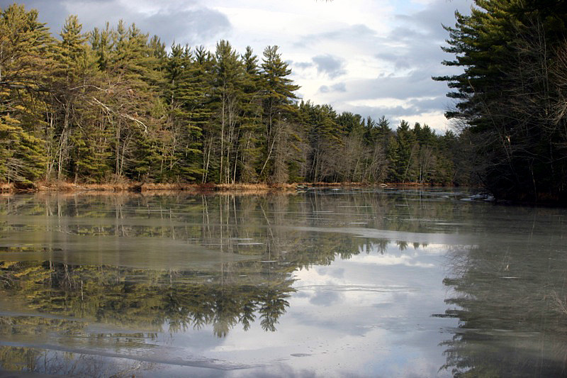
 Photo: Magicpiano, CC BY-SA 3.0 (via Wikimedia Commons)
- 1.2 mi
- loop
- 478 ft
- climb
- 702 ft
- high point
- Loop
- route
- Aug–Oct
- best months
Clear today
Weather is good · OpenWeather · checked 11 h ago
Lowell Trail is a short, easy hike in Virgil Parris Forest in Maine, a forest managed by a non-governmental organization. The trail is about 1.2 miles long, and it rises from roughly 512 feet to about 702 feet, a total gain of 478 feet. The steepest stretch comes at about half a mile in, where the grade reaches 19 percent. Summer is the most comfortable time to go. Typical averages from a nearby weather station in Turner, Maine, show July highs around 79°F with lows near 59°F, while winter brings highs in the 20s and regular snow days from December through February. The trail takes about half an hour to complete. Packard Trail starts just 0.2 miles away, and Streaked Mountain Trail, Crocker Hill Trail and Singepole Trail are all within about 5 miles.
- Packard TrailHikingPhoto: Magicpiano, CC BY-SA 3.0 (via Wikimedia Commons)0.2 mi
- Streaked Mountain TrailHiking3.4 mi
- Crocker Hill TrailHiking5.2 mi
- Singepole TrailHiking5.4 mi
 Leavitt High School TrailHikingPhoto: Magicpiano, CC BY-SA 3.0 (via Wikimedia Commons)7.1 mi
- Bear Mountain TrailHiking7.9 mi
- Bradford Loop TrailHiking8.3 mi
- Bradford Hill TrailHiking8.4 mi
Source: Roamze catalog (indexable pages within 10 miles, PostGIS distance)
- Packard TrailHiking · Next doorPhoto: Magicpiano, CC BY-SA 3.0 (via Wikimedia Commons)
- Singepole TrailHiking · ~9 min drive
- Leavitt High School TrailHiking · ~12 min drivePhoto: Magicpiano, CC BY-SA 3.0 (via Wikimedia Commons)
- Bear Mountain TrailHiking · ~14 min drive
 Homestead TrailHiking · ~15 min drivePhoto: nightthree, CC BY 2.0 (via Flickr)
- Viking trailHiking · ~15 min drive
- Porcupine TrailHiking · ~15 min drivePhoto: nightthree, CC BY 2.0 (via Flickr)
- Janet's TrailHiking · ~18 min drive
- Homestead TrailHiking · ~16 min drivePhoto: nightthree, CC BY 2.0 (via Flickr)
- Recreational Park TrailHiking · ~21 min drive
Best time to visit Lowell Trail
Best months: August–October. Best months have typical highs of 55–85 °F, lows of 30 °F or warmer (32 °F where the station doesn't record snow), at most one snowy day and no more than 12 wet days.
Jan
28° / 10°
11 wet · 9 snow
Feb
31° / 12°
10 wet · 8 snow
Mar
39° / 21°
11 wet · 7 snow
Apr
52° / 33°
12 wet · 3 snow
May
65° / 43°
14 wet
Jun
73° / 53°
15 wet
Jul
79° / 59°
13 wet
Aug
78° / 57°
11 wet
Sep
71° / 49°
10 wet
Oct
57° / 39°
12 wet
Nov
45° / 28°
12 wet · 3 snow
Dec
34° / 18°
13 wet · 8 snow
Typical high / low (°F) and days with rain or snow, 1991–2020. Measured at Turner, ME, 5.7 mi away at 565 ft. Source: NOAA NCEI U.S. Climate Normals 1991–2020.
Map and trail data © OpenStreetMap contributors
