Kettle Hole Trail
- 0.8 mi
- loop
- 182 ft
- climb
- 285 ft
- high point
- Loop
- route
- May–Oct
- best months
Kettle Hole Trail is a short, easy loop hike in southern Maine, about 2.8 miles from South Sanford. The trail is 0.84 miles long, with a total elevation gain of 182 feet and a total loss of 164 feet, so it works well as a quick outing or a warm-up before a longer day. The climb is steady, with the steepest stretch at about 0.43 miles, where the grade reaches 7%. The trail starts at 263 feet and reaches a high point of 285 feet before returning to a low of 207 feet. Summer is the most comfortable time to go. Typical averages from a nearby weather station in Sanford show July highs around 81°F with lows near 56°F, while September cools to highs around 73°F. Huttopia Southern Maine and the George Sweet Ecology Trail are both about 1.7 miles away, and the Summit Trail is about 2.3 miles off. Paddlers can reach the Mousam River about 8 miles away.
- Huttopia Southern MaineCamping1.7 mi
- George Sweet Ecology TrailHiking1.7 mi
- Summit TrailHiking2.3 mi
- Oak TrailHiking2.5 mi
- Mousam RiverCanoeing8 mi
- Amigos TraverseRock climbing8.2 mi
- Kenyon Hill PreserveRock climbing8.3 mi
- Two and a Half BouldermenRock climbing8.3 mi
Source: Roamze catalog (indexable pages within 10 miles, PostGIS distance)
 Lachance Point TrailHiking · ~12 min drivePhoto: GOC53, CC BY 2.0 (via Flickr)
- Sanford & Eastern Rail TrailHiking · ~11 min drive
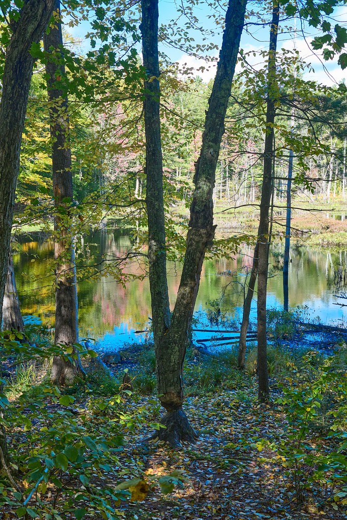 River Gorge TrailHiking · ~12 min drivePhoto: GOC53, CC BY 2.0 (via Flickr)
- Sanford-Springvale Rail TrailHiking · ~13 min drive
- Orris Falls TrailHiking · ~12 min drivePhoto: GOC53, CC BY 2.0 (via Flickr)
- Big Bump TrailHiking · ~12 min drivePhoto: GOC53, CC BY 2.0 (via Flickr)
 Patti’s WayHiking · ~12 min drivePhoto: GOC53, CC BY 2.0 (via Flickr)
- George Sweet Ecology TrailHiking · ~3 min drive
- Summit TrailHiking · ~4 min drive
- Oak TrailHiking · ~4 min drive
Best time to visit Kettle Hole Trail
Best months: May–October. Best months have typical highs of 55–85 °F, lows of 30 °F or warmer (32 °F where the station doesn't record snow), at most one snowy day and no more than 12 wet days.
Jan
32° / 10°
10 wet
Feb
35° / 11°
8 wet
Mar
44° / 20°
10 wet
Apr
57° / 30°
10 wet
May
68° / 41°
11 wet
Jun
76° / 51°
11 wet
Jul
81° / 56°
11 wet
Aug
80° / 55°
9 wet
Sep
73° / 47°
9 wet
Oct
61° / 36°
10 wet
Nov
48° / 27°
10 wet
Dec
37° / 17°
11 wet
Typical high / low (°F) and days with rain or snow, 1991–2020. Measured at Sanford 2 Nnw, ME, 6.2 mi away at 289 ft. This station doesn't record snowfall. Source: NOAA NCEI U.S. Climate Normals 1991–2020.
Map and trail data © OpenStreetMap contributors
