Goose Foot
- 0.7 mi
- round trip
- 722 ft
- climb
- 502 ft
- high point
- Out and back
- route
- Apr–Oct
- best months
Goose Foot is a short, easy hike on Mount Agamenticus in Maine, on land managed by a regional agency. The route is an out-and-back of about 1.3 miles, with the high point at 502 feet. It's an out-and-back that gains and loses about 722 feet, and the steepest part comes right at the start, where the grade reaches about 47%. Summer and early fall are the most comfortable times to go. Typical averages from a nearby weather station in Cape Neddick put July and August highs around 79°F with lows near 60°F, and September highs around 71°F. Several other short hikes sit within a few tenths of a mile, including Cedar Trail, Vulture's View and Wintergreen. Kenyon Hill Preserve, a climbing area, is about 2.3 miles away.
Best time to go · Apr–Oct
Best time to visit Goose Foot
Best months: April–October. Best months have typical highs of 55–85 °F, lows of 30 °F or warmer (32 °F where the station doesn't record snow), at most one snowy day and no more than 12 wet days.
Jan
32° / 14°
11 wet
Feb
35° / 16°
9 wet
Mar
42° / 24°
11 wet
Apr
56° / 34°
11 wet
May
66° / 44°
12 wet
Jun
74° / 54°
11 wet
Jul
79° / 61°
10 wet
Aug
79° / 59°
9 wet
Sep
71° / 51°
8 wet
Oct
59° / 40°
10 wet
Nov
48° / 31°
11 wet
Dec
38° / 21°
12 wet
Typical high / low (°F) and days with rain or snow, 1991–2020. Measured at Cape Neddick, ME, 3 mi away at 152 ft. This station doesn't record snowfall. Source: NOAA NCEI U.S. Climate Normals 1991–2020.
Keep exploring — more trails worth the drive
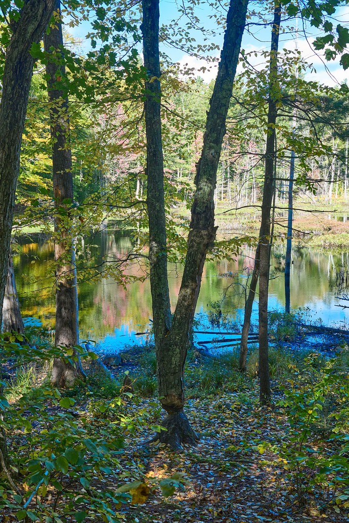 Photo: GOC53, CC BY 2.0 (via Flickr)
Checkerberry Trail
~4 min drive
0.65-mile out-and-back trail in Maine with 18 ft elevation gain.
 Photo: En el nido (Nest), CC BY 3.0 (via Wikimedia Commons)
YKWD - Blue Trail
~6 min drive
5.06-mile out-and-back trail in Maine with 650 ft elevation gain
 Photo: GOC53, CC BY 2.0 (via Flickr)
Patti’s Way
~6 min drive
0.41-mile out-and-back trail in Maine with 155 ft gain.
HIKE
Norman Mill Trail
~1 min drive
2.68-mile out-and-back hike to Norman Mill in Maine with 171 ft gain.
 Photo: GOC53, CC BY 2.0 (via Flickr)
Big Bump Trail
~6 min drive
0.33-mile out-and-back trail in Maine with 57 ft gain and 98 ft loss.
HIKE
YWD - Red Trail
~2 min drive
5.66-mile out-and-back trail in Maine with 560 ft elevation gain
Photo: GOC53, CC BY 2.0 (via Flickr)Lachance Point Trail
~6 min drive
0.57-mile out-and-back trail with 209 ft elevation gain in Maine.
HIKE
YWD/KWD - Silver Trail
~2 min drive
5.22-mile out-and-back trail in Maine with 567 ft elevation gain
Photo: GOC53, CC BY 2.0 (via Flickr)River Gorge Trail
~6 min drive
0.40-mile out-and-back hike in Maine with 60 ft elevation gain
HIKE
KWD/YWD - Yellow Trail
~5 min drive
5.12-mile out-and-back trail in Maine with 721 ft elevation gain
Map and trail data © OpenStreetMap contributors
