Deer Path Trail
- 1.8 mi
- round trip
- 520 ft
- climb
- 500 ft
- high point
- Out and back
- route
Deer Path Trail is an easy out-and-back hike in Maine, about 1.8 miles from the community of Turner Center. The trail is 3.6 miles long, with a total elevation gain of 520 feet, and it reaches a high point of about 500 feet. The climb is gentle, with the steepest stretch at about 1.7 miles in, where the grade reaches 10 percent. Summer is the most comfortable time to go. Typical averages from a nearby weather station in Turner run from highs around 73°F in June to about 79°F in July, with September still near 71°F. Winters are cold, with January highs around 28°F and snow on about nine days that month. The trip takes about 1.5 hours. Several other trails sit close by, including Fox Run Trail at 0.3 miles and Homestead Trail at 0.4 miles. Porcupine Trail is 0.8 miles away, and the Bradford Loop Trail is about 1.5 miles off.
- Fox Run TrailHiking0.3 mi
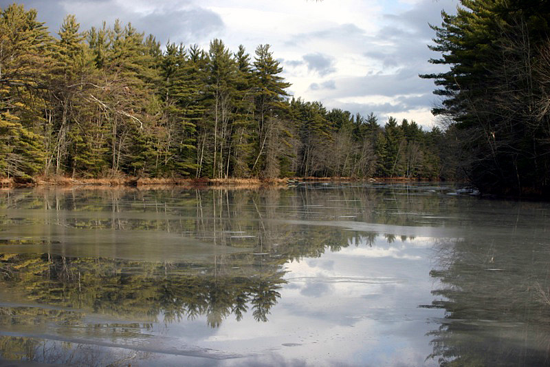 Homestead TrailHikingPhoto: nightthree, CC BY 2.0 (via Flickr)0.4 mi
- Porcupine TrailHikingPhoto: nightthree, CC BY 2.0 (via Flickr)0.8 mi
- Bradford Loop TrailHiking1.5 mi
 Leavitt High School TrailHikingPhoto: Magicpiano, CC BY-SA 3.0 (via Wikimedia Commons)1.7 mi
- Ridge TrailHiking1.9 mi
- Bradford Hill TrailHiking2 mi
- Bates College CampusRock climbing10 mi
Source: Roamze catalog (indexable pages within 10 miles, PostGIS distance)
Map and trail data © OpenStreetMap contributors
