Davis Parcel Trail
 Photo: InAweofGod'sCreation, CC BY 2.0 (via Wikimedia Commons)
- 0.5 mi
- loop
- 35 ft
- climb
- 190 ft
- high point
- Loop
- route
- May–Oct
- best months
Davis Parcel Trail is a short loop hike of about half a mile on Regional Agency Land in Maine, just outside Portland. It's a low-effort outing: the route stays mostly flat, rising only about 35 feet from its starting point at around 164 feet, with a high point of 190 feet. The climb is gentle, and the trail is rated easy, making it an easy stop for anyone exploring the area. For timing, late spring through early fall is the most comfortable stretch. Typical averages from a nearby weather station at Portland's airport show July highs around 79°F with lows near 61°F, and September highs near 71°F with the fewest wet days of the year. The trail pairs well with other short walks in the area. Davis Forest Trail lies about 0.2 miles away, and Dyer Hutchinson Trail is about 0.6 miles off. Spurwink Trail and Outer Loop are each roughly a mile away.
- Davis Forest TrailHikingPhoto: InAweofGod'sCreation, CC BY 2.0 (via Wikimedia Commons)0.2 mi
 Dyer Hutchinson TrailHikingPhoto: Jack.Flanagan, CC BY 2.0 (via Flickr)0.6 mi
 Spurwink TrailHikingPhoto: Jack.Flanagan, CC BY 2.0 (via Flickr)1.1 mi
- Outer LoopHiking1.1 mi
- Cross Town TrailHiking1.4 mi
- Field TrailHiking1.7 mi
- Outer Loop TrailHiking1.8 mi
- Highway BouldersRock climbing9.3 mi
Source: Roamze catalog (indexable pages within 10 miles, PostGIS distance)
- Davis Forest TrailHiking · Next doorPhoto: InAweofGod'sCreation, CC BY 2.0 (via Wikimedia Commons)
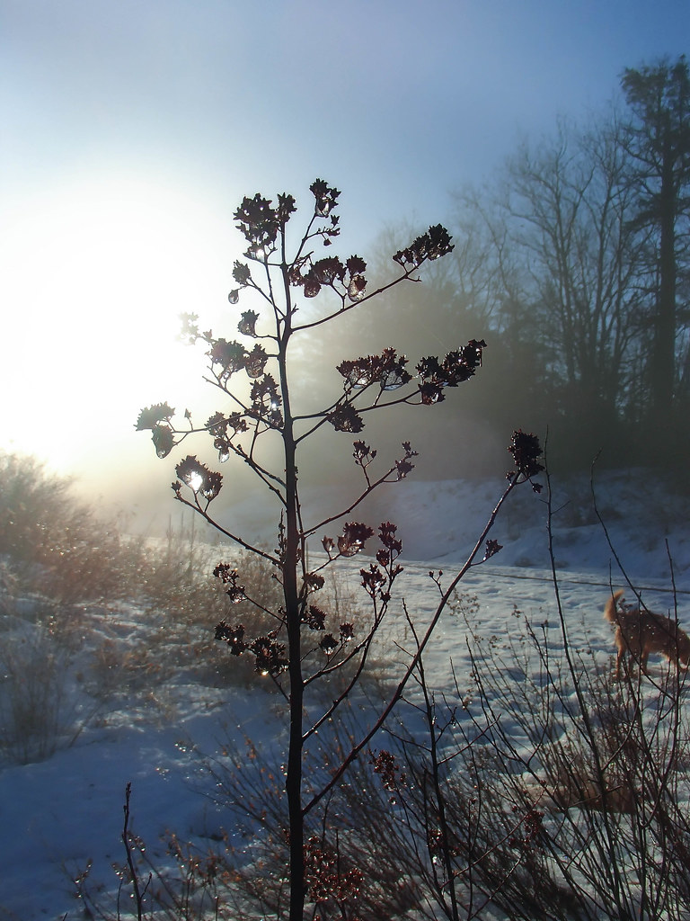 Forest City TrailHiking · ~9 min drivePhoto: Jack.Flanagan, CC BY 2.0 (via Flickr)
- Dyer Hutchinson TrailHiking · ~1 min drivePhoto: Jack.Flanagan, CC BY 2.0 (via Flickr)
- Spurwink TrailHiking · ~2 min drivePhoto: Jack.Flanagan, CC BY 2.0 (via Flickr)
- Spurwink TrailHiking · ~2 min drivePhoto: Jack.Flanagan, CC BY 2.0 (via Flickr)
- Northern Wildlife LoopHiking · ~3 min drivePhoto: InAweofGod'sCreation, CC BY 2.0 (via Wikimedia Commons)
 Monty's TrailHiking · ~4 min drivePhoto: Paul VanDerWerf from Brunswick, Maine, USA, CC BY 2.0 (via Wikimedia Commons)
 Long Creek TrailHiking · ~6 min drivePhoto: Magicpiano, CC BY-SA 4.0 (via Wikimedia Commons)
 Eastern Prom Midslope TrailHiking · ~8 min drivePhoto: cdsessums, CC BY-SA 2.0 (via Flickr)
- Rail Road LoopHiking · ~10 min drivePhoto: Jack.Flanagan, CC BY 2.0 (via Flickr)
Best time to visit Davis Parcel Trail
Best months: May–October. Best months have typical highs of 55–85 °F, lows of 30 °F or warmer (32 °F where the station doesn't record snow), at most one snowy day and no more than 12 wet days.
Jan
32° / 16°
11 wet
Feb
35° / 17°
10 wet
Mar
42° / 26°
11 wet
Apr
54° / 35°
11 wet
May
64° / 46°
12 wet
Jun
74° / 55°
11 wet
Jul
79° / 61°
11 wet
Aug
79° / 60°
10 wet
Sep
71° / 52°
9 wet
Oct
59° / 41°
11 wet
Nov
48° / 32°
11 wet
Dec
38° / 22°
12 wet
Typical high / low (°F) and days with rain or snow, 1991–2020. Measured at Portland Intl Jetport, ME, 4 mi away at 45 ft. This station doesn't record snowfall. Source: NOAA NCEI U.S. Climate Normals 1991–2020.
Map and trail data © OpenStreetMap contributors
