Cold Stream Falls Trail
- 1.1 mi
- round trip
- 225 ft
- climb
- 1,422 ft
- high point
- Out and back
- route
- Aug–Sep
- best months
Cold Stream Falls Trail is a short, easy out-and-back hike in western Maine, about 3.8 miles from the town of West Forks. The trail is roughly 2.3 miles long, with a total elevation gain of 225 feet, and it reaches a high point of about 1,422 feet. The climb is gentle, with the steepest stretch at about 0.48 miles in, where the grade reaches 10 percent. Summer is the most comfortable time to go. Typical averages from the nearby Jackman weather station show July and August highs around 76°F with lows in the low 50s, while winter highs stay in the 20s and 30s. The trip takes about an hour. The trail starts at a low point of about 1,302 feet and returns to nearly the same elevation, so it works well as a quick outing. Coburn Mountain Trail is about 4.3 miles away, and the Maine Huts Trail, the Kennebec River and Moxie Falls Path are all within about 8 miles.
Local outfitters
- Northeast Whitewater22 mi away
Not on Roamze yet. Their page has how to reach them.
- Coburn Mountain TrailHiking4.3 mi
- Maine Huts TrailCross-country skiing7.2 mi
- Kennebec RiverRiver fishing7.9 mi
- Williams Mountain TrailHiking8 mi
 Moxie Falls PathHikingPhoto: Sarah and Jason, CC BY-SA 2.0 (via Flickr)8.3 mi
Source: Roamze catalog (indexable pages within 10 miles, PostGIS distance)
- Moxie Falls PathHiking · ~14 min drivePhoto: Sarah and Jason, CC BY-SA 2.0 (via Flickr)
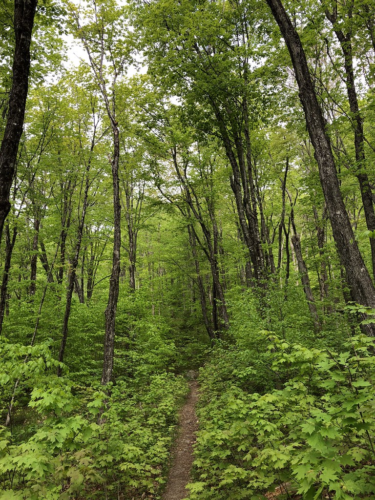 Big Moose Mountain TrailHiking · ~30 min drivePhoto: zappowbang, CC BY-SA 2.0 (via Flickr)
 Appalachian TrailHiking · ~31 min drivePhoto: John Hayes (gravelboy), CC BY-SA 2.0 (via Flickr)
- Maine Huts TrailHiking · ~22 min drive
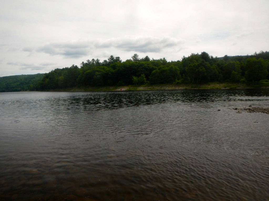 Appalachian TrailHiking · ~26 min drivePhoto: John Hayes (gravelboy), CC BY 2.0 (via Flickr)
 Appalachian TrailHiking · ~30 min drivePhoto: John Hayes (gravelboy), CC BY 2.0 (via Flickr)
- Appalachian TrailHiking · ~23 min drive
 Appalachian TrailHiking · ~27 min drivePhoto: John Hayes (gravelboy), CC BY 2.0 (via Flickr)
 Safford Brook TrailHiking · ~39 min drivePhoto: John Hayes (gravelboy), CC BY 2.0 (via Flickr)
- Little Moose Mountain TrailHiking · ~27 min drive
Best time to visit Cold Stream Falls Trail
Best months: August–September. Best months have typical highs of 55–85 °F, lows of 30 °F or warmer (32 °F where the station doesn't record snow), at most one snowy day and no more than 12 wet days.
Jan
22° / 0°
12 wet
Feb
26° / 0°
10 wet
Mar
35° / 11°
11 wet
Apr
48° / 25°
12 wet
May
63° / 37°
13 wet
Jun
72° / 48°
14 wet
Jul
76° / 53°
14 wet
Aug
76° / 51°
12 wet
Sep
69° / 43°
11 wet
Oct
54° / 32°
13 wet
Nov
41° / 22°
13 wet
Dec
29° / 10°
14 wet
Typical high / low (°F) and days with rain or snow, 1991–2020. Measured at Jackman, ME, 15.6 mi away at 1,214 ft. This station doesn't record snowfall. Source: NOAA NCEI U.S. Climate Normals 1991–2020.

Map and trail data © OpenStreetMap contributors
