Charles Savage Trail
- 0.7 mi
- round trip
- 421 ft
- climb
- 451 ft
- high point
- Out and back
- route
The Charles Savage Trail is a short, easy out-and-back hike in Maine, about 0.6 miles from the village of Asticou. The route is 1.3 miles long, with a total elevation gain of 386 feet, and it reaches a high point of 451 feet. The climb is rolling, and the steepest stretch comes early, at about 0.27 miles in, with a grade of 27 percent. Summer is the most comfortable time to go. Typical averages from a nearby weather station show July highs around 79°F with lows near 60°F, while September cools to highs around 71°F. Several other trails start close by. The Richard Trail and Eliot Mountain Trail are each about 0.2 miles away, and the Map House Trail is about 0.3 miles off. For climbing, Upper Slab and Upper Wall is about 2.7 miles away.
- The Richard TrailHiking0.2 mi
 Eliot Mountain TrailHikingPhoto: jesse?, CC BY 2.0 (via Flickr)0.2 mi
- Map House TrailHiking0.3 mi
- Harbor Brook TrailHiking0.7 mi
 Upper Slab and Upper WallRock climbingPhoto: Fredlyfish4, CC BY-SA 4.0 (via Wikimedia Commons)2.7 mi
- South BubbleRock climbing2.7 mi
- Canada Cliff BoulderRock climbing3.4 mi
- Canada Cliff RockRock climbing3.4 mi
Source: Roamze catalog (indexable pages within 10 miles, PostGIS distance)
- Eliot Mountain TrailHiking · Next doorPhoto: jesse?, CC BY 2.0 (via Flickr)
 Asticou & Jordan Pond PathHiking · ~1 min drivePhoto: Bryan Pocius, CC BY 3.0 (via Wikimedia Commons)
 Amphitheatre TrailHiking · ~2 min drivePhoto: aparlette, CC BY 2.0 (via Flickr)
 Spring TrailHiking · ~3 min drivePhoto: Andrew Turner, CC BY 2.0 (via Flickr)
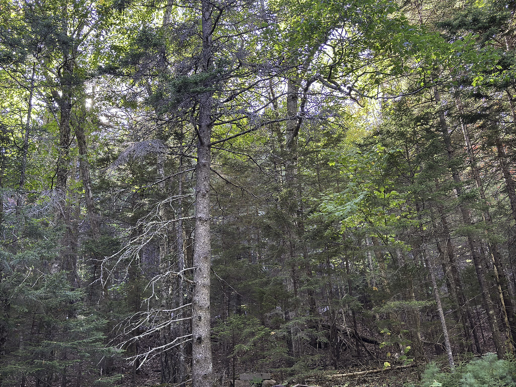 David & Neva TrailHiking · ~1 min drivePhoto: Klieg, Public Domain Mark (via Flickr)
 Hadlock Brook TrailHiking · ~4 min drivePhoto: Klieg, Public Domain Mark (via Flickr)
 Golf Course TrailHiking · ~3 min drivePhoto: Jacques Larue, CC BY-SA 3.0 (via Wikimedia Commons)
 Asticou Ridge TrailHiking · ~1 min drivePhoto: Andrew Turner, CC BY 2.0 (via Flickr)
- Norumbega Mountain TrailHiking · ~4 min drivePhoto: Andrew Turner, CC BY 2.0 (via Flickr)
- Jordan Stream PathHiking · ~2 min drivePhoto: aparlette, CC BY 2.0 (via Flickr)

Route details
- Distance
- 0.7 mi round trip
- Climbing
- About 421 ft
- Summit
- 454 ft
- Difficulty
- Easy
- Time
- About 0.5 hours
Other routes up Eliot Mountain
Questions about this route
How long is the Charles Savage Trail on Eliot Mountain?
About 0.7 mi round trip.
How much elevation gain is on the Charles Savage Trail?
About 421 ft of climbing round trip.
How hard is the Charles Savage Trail?
It is rated easy.
How long does the Charles Savage Trail take?
About 0.5 hours round trip.
How many routes go up Eliot Mountain?
3: Charles Savage Trail, Asticou Ridge Trail and Eliot Mountain Trail.
Conditions and forecast on Eliot Mountain
Daily highs and lows, wind and the chance of precipitation at the summit and route start for the next 7 days, from the Open-Meteo model.
Map and trail data © OpenStreetMap contributors
