Boundary Bald Mountain Trail
- 1.2 mi
- round trip
- 1,163 ft
- climb
- 3,601 ft
- high point
- Out and back
- route
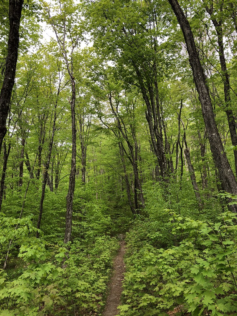
Boundary Bald Mountain Trail is a 2.3-mile out-and-back hike in Maine, starting at an elevation of about 2,559 feet and climbing to a high point of 3,601 feet. The trail is rated moderate, and the climb is front-loaded, with the steepest stretch at about 0.7 miles in, where the grade reaches 37%. The total elevation gain is 1,163 feet, and the trip takes about 1.5 hours. The nearest town is Dennistown, about 6.5 miles away. The trail is a short, steep climb to the summit, and the return is the same descent.
Local outfitters
- Northeast Whitewater40 mi away
Not on Roamze yet. Their page has how to reach them.
Conditions and forecast on Boundary Bald Mountain
Daily highs and lows, wind and the chance of precipitation at the summit and route start for the next 7 days, from the Open-Meteo model.
 Moxie Falls PathHiking · ~53 min drivePhoto: Sarah and Jason, CC BY-SA 2.0 (via Flickr)
 Big Moose Mountain TrailHiking · ~55 min drivePhoto: zappowbang, CC BY-SA 2.0 (via Flickr)
- Deer Head Farm TrailHiking · ~43 min drive
- Maine Huts TrailHiking · ~54 min drive
 Dunn Point TrailHiking · ~58 min drivePhoto: cloud2013, CC BY 2.0 (via Wikimedia Commons)
- Sally Mountain TrailHiking · ~21 min drive
- Little Moose Mountain TrailHiking · ~55 min drive
- Rowell Cove TrailHiking · ~59 min drivePhoto: cloud2013, CC BY 2.0 (via Wikimedia Commons)
- Number Five Mountain TrailHiking · ~36 min drive
- Lobster Mountain TrailHiking · ~57 min drive

Route details
- Distance
- 1.2 mi round trip
- Climbing
- About 1,163 ft
- Summit
- 3,635 ft
- Difficulty
- Moderate
- Time
- About 1 hour
Questions about this route
How long is the Boundary Bald Mountain Trail on Boundary Bald Mountain?
About 1.2 mi round trip.
How much elevation gain is on the Boundary Bald Mountain Trail?
About 1,163 ft of climbing round trip.
How hard is the Boundary Bald Mountain Trail?
It is rated moderate.
How long does the Boundary Bald Mountain Trail take?
About 1 hour round trip.
Map and trail data © OpenStreetMap contributors
