Bobcat Trail
- 0.4 mi
- round trip
- 105 ft
- climb
- 360 ft
- high point
- Out and back
- route
- Apr–Oct
- best months
Bobcat Trail is a short, easy out-and-back hike in Maine's Mount Agamenticus Wildlife Management Area, managed by State Fish and Wildlife. The trail runs about 0.8 miles round trip, with a low point of 332 feet and a high of 360 feet, and it rises and falls a total of about 105 feet. The steepest stretch comes at about 0.37 miles in, with a grade of around 5 percent. The most comfortable months for a visit are typically late spring through early fall. At the Cape Neddick weather station, about 1.8 miles away, typical July and August highs average around 79°F, and September averages about 71°F with the fewest wet days of the year. The trail makes a quick addition to a longer outing in the area. Ledge Trail is about 0.4 miles away, and Ridge Trail, Third Hill Trail and Great Marsh Trail are each about half a mile off. Climbers can find The Whale Boulder roughly 2 miles away.
- Ledge TrailHiking0.4 mi
- Ridge TrailHiking0.5 mi
- Third Hill TrailHiking0.5 mi
- Great Marsh TrailHiking0.5 mi
- The Whale BoulderRock climbing2.1 mi
- Two and a Half BouldermenRock climbing2.1 mi
- Kenyon Hill PreserveRock climbing2.1 mi
- Amigos TraverseRock climbing2.1 mi
Source: Roamze catalog (indexable pages within 10 miles, PostGIS distance)
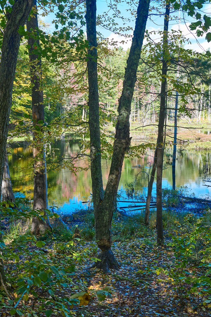 Checkerberry TrailHiking · ~4 min drivePhoto: GOC53, CC BY 2.0 (via Flickr)
 YKWD - Blue TrailHiking · ~5 min drivePhoto: En el nido (Nest), CC BY 3.0 (via Wikimedia Commons)
 Vernal Pool WalkHiking · ~5 min drivePhoto: bacarty, CC BY 2.0 (via Flickr)
- YWD - Red TrailHiking · ~2 min drive
- Town Forest TrailHiking · ~6 min drivePhoto: bacarty, CC BY 2.0 (via Flickr)
- Norman Mill TrailHiking · ~3 min drive
 Patti’s WayHiking · ~6 min drivePhoto: GOC53, CC BY 2.0 (via Flickr)
- YWD/KWD - Silver TrailHiking · ~3 min drive
 Big Bump TrailHiking · ~6 min drivePhoto: GOC53, CC BY 2.0 (via Flickr)
- KWD/YWD - Yellow TrailHiking · ~6 min drive
Best time to visit Bobcat Trail
Best months: April–October. Best months have typical highs of 55–85 °F, lows of 30 °F or warmer (32 °F where the station doesn't record snow), at most one snowy day and no more than 12 wet days.
Jan
32° / 14°
11 wet
Feb
35° / 16°
9 wet
Mar
42° / 24°
11 wet
Apr
56° / 34°
11 wet
May
66° / 44°
12 wet
Jun
74° / 54°
11 wet
Jul
79° / 61°
10 wet
Aug
79° / 59°
9 wet
Sep
71° / 51°
8 wet
Oct
59° / 40°
10 wet
Nov
48° / 31°
11 wet
Dec
38° / 21°
12 wet
Typical high / low (°F) and days with rain or snow, 1991–2020. Measured at Cape Neddick, ME, 1.8 mi away at 152 ft. This station doesn't record snowfall. Source: NOAA NCEI U.S. Climate Normals 1991–2020.
Map and trail data © OpenStreetMap contributors
