Blue Square Trail
- 1.0 mi
- loop
- 69 ft
- climb
- 217 ft
- high point
- Loop
- route
- Apr–Oct
- best months
Blue Square Trail is a short, easy loop of about a mile on the Kenyon Hill parcel of the GWRLT, a non-governmental land unit in Maine. The trail rises from a low point of 154 feet to a high of 217 feet, with a total elevation gain of 69 feet, and the steepest stretch comes at about 0.94 miles in, with a 5% grade. Summer is the most comfortable time to go. Typical averages from the nearby Cape Neddick weather station show July and August highs around 79°F with lows near 60°F, while September cools to highs around 71°F with the fewest wet days of the year. The trail sits right beside several climbing areas, including The Whale Boulder, Two and a Half Bouldermen and Amigos Traverse, all about 0.1 mile away. Split Rock Trail is about a mile off.
Best time to go · Apr–Oct
Best time to visit Blue Square Trail
Best months: April–October. Best months have typical highs of 55–85 °F, lows of 30 °F or warmer (32 °F where the station doesn't record snow), at most one snowy day and no more than 12 wet days.
Jan
32° / 14°
11 wet
Feb
35° / 16°
9 wet
Mar
42° / 24°
11 wet
Apr
56° / 34°
11 wet
May
66° / 44°
12 wet
Jun
74° / 54°
11 wet
Jul
79° / 61°
10 wet
Aug
79° / 59°
9 wet
Sep
71° / 51°
8 wet
Oct
59° / 40°
10 wet
Nov
48° / 31°
11 wet
Dec
38° / 21°
12 wet
Typical high / low (°F) and days with rain or snow, 1991–2020. Measured at Cape Neddick, ME, 3.3 mi away at 152 ft. This station doesn't record snowfall. Source: NOAA NCEI U.S. Climate Normals 1991–2020.
Keep exploring — more trails worth the drive
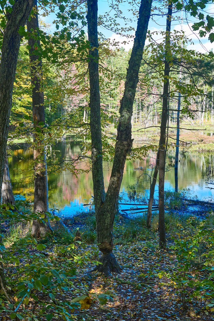 Photo: GOC53, CC BY 2.0 (via Flickr)
Checkerberry Trail
~2 min drive
0.65-mile out-and-back trail in Maine with 18 ft elevation gain.
HIKE
Norman Mill Trail
~4 min drive
2.68-mile out-and-back hike to Norman Mill in Maine with 171 ft gain.
 Photo: GOC53, CC BY 2.0 (via Flickr)
Patti’s Way
~3 min drive
0.41-mile out-and-back trail in Maine with 155 ft gain.
HIKE
YWD - Red Trail
~6 min drive
5.66-mile out-and-back trail in Maine with 560 ft elevation gain
 Photo: GOC53, CC BY 2.0 (via Flickr)
Lachance Point Trail
~3 min drive
0.57-mile out-and-back trail with 209 ft elevation gain in Maine.
HIKE
YWD/KWD - Silver Trail
~6 min drive
5.22-mile out-and-back trail in Maine with 567 ft elevation gain
Photo: GOC53, CC BY 2.0 (via Flickr)Orris Falls Trail
~3 min drive
1.67-mile out-and-back trail to Orris Falls in Maine with 324 ft of elevation gain.
Photo: GOC53, CC BY 2.0 (via Flickr)River Gorge Trail
~3 min drive
0.40-mile out-and-back hike in Maine with 60 ft elevation gain
Photo: GOC53, CC BY 2.0 (via Flickr)Big Bump Trail
~3 min drive
0.33-mile out-and-back trail in Maine with 57 ft gain and 98 ft loss.
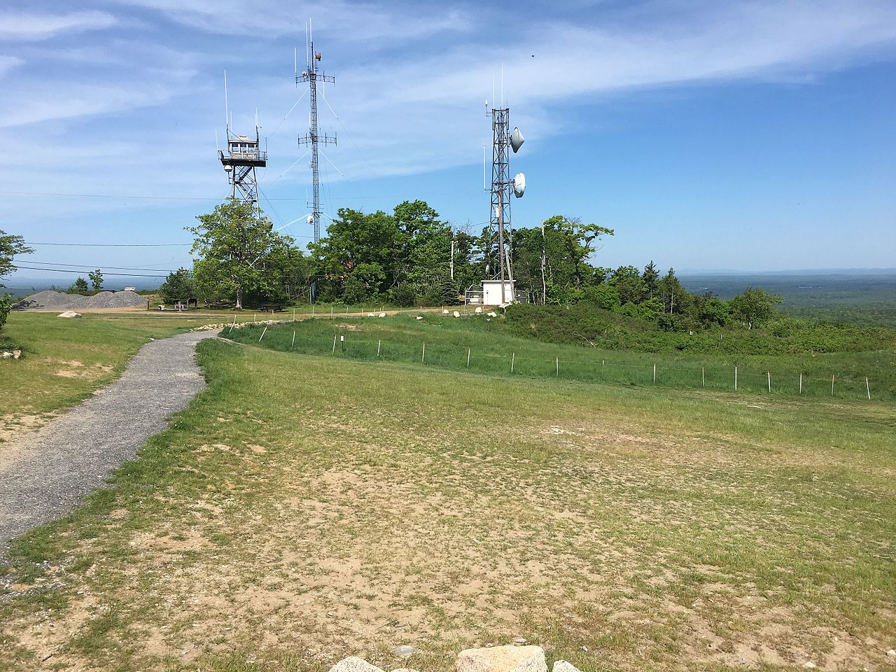
 Photo: bacarty, CC BY 2.0 (via Flickr)
Vernal Pool Walk
~6 min drive
1.06-mile out-and-back trail in Maine with 66 ft elevation gain.
Route details
- Distance
- 1.0 mi
- Climbing
- About 69 ft
- Summit
- 232 ft
- Difficulty
- Easy
- Time
- About 0.5 hours
Questions about this route
How long is the Blue Square Trail on Kenyon Hill?
About 1.0 mi.
How much elevation gain is on the Blue Square Trail?
About 69 ft of climbing round trip.
How hard is the Blue Square Trail?
It is rated easy.
How long does the Blue Square Trail take?
About 0.5 hours round trip.
Conditions and forecast on Kenyon Hill
Daily highs and lows, wind and the chance of precipitation at the summit and route start for the next 7 days, from the Open-Meteo model.
Map and trail data © OpenStreetMap contributors
