Spring Bayou Boat Launch
- Oct–May
- best months
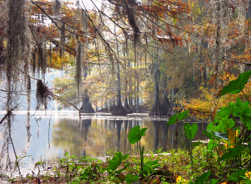
Spring Bayou Boat Launch is a boat launch in Louisiana, about 3 miles from the town of Marksville. It serves as a put-in for getting a boat onto the water in this part of the state. Spring and fall are the most comfortable times to visit. Typical averages from a nearby weather station in Bunkie show April highs around 79°F and October highs around 81°F, while July and August average about 93°F. Paddlers and drivers looking for more to do in the area can head to the Greentree Central Levee ATV Trail, about 6.6 miles away, or the Marc Dupuy Jr. Wildlife Trail, about 7.5 miles away. For another paddling option, Bayou Choctaw is about 8.5 miles from the launch.
- Greentree Central Levee ATV TrailHiking6.6 mi
- Marc Dupuy Jr. Wildlife TrailHiking7.5 mi
- Bayou ChoctawCanoeing8.5 mi
Source: Roamze catalog (indexable pages within 10 miles, PostGIS distance)
 Red RiverCanoeing · ~33 min drivePhoto: Cookingmonster123, CC BY-SA 4.0 (via Wikimedia Commons)
- Knox Landing Boat LaunchBoat launch · ~44 min drive
- Bayou ChoctawCanoeing · ~15 min drive
- Kincaid East Boat LaunchBoat launch · ~1h 3m drive
- Powell CutoffCanoeing · ~23 min drive
- Kincaid West Boat LaunchBoat launch · ~1h 5m drive
- Bayou RougeCanoeing · ~24 min drive
- Courtableau Boat LaunchBoat launch · ~1h 9m drive
- Raccoon BayouCanoeing · ~24 min drive
- Larto BayouCanoeing · ~26 min drive
Best time to visit Spring Bayou Boat Launch
Best months: October–May. Best months have typical highs of 55–85 °F, lows of 30 °F or warmer (32 °F where the station doesn't record snow), at most one snowy day and no more than 12 wet days.
Jan
60° / 39°
10 wet
Feb
64° / 43°
9 wet
Mar
72° / 49°
9 wet
Apr
79° / 56°
7 wet
May
85° / 64°
8 wet
Jun
91° / 70°
10 wet
Jul
93° / 73°
10 wet
Aug
93° / 72°
9 wet
Sep
89° / 66°
7 wet
Oct
81° / 56°
7 wet
Nov
70° / 46°
8 wet
Dec
62° / 41°
10 wet
Typical high / low (°F) and days with rain or snow, 1991–2020. Measured at Bunkie, LA, 14.9 mi away at 80 ft. Source: NOAA NCEI U.S. Climate Normals 1991–2020.

Map and trail data © OpenStreetMap contributors
