Camelia (Yellow) Trail
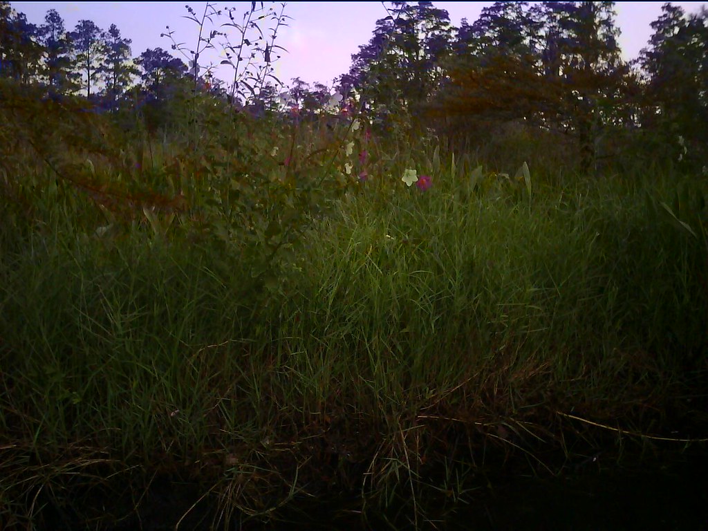
 Photo: MichaelGras, CC BY 2.0 (via Flickr)
- 0.5 mi
- round trip
- 53 ft
- climb
- 17 ft
- high point
- Out and back
- route
- Oct–May
- best months
Camelia (Yellow) Trail is a short out-and-back hike in Louisiana managed by the U.S. Fish and Wildlife Service. The trail is 0.50 miles round trip with 40 feet of elevation gain and 53 feet of elevation loss.
 Grotto (Red) TrailHiking · Next doorPhoto: MichaelGras, CC BY 2.0 (via Flickr)
- Northlake Nature CenterHiking · ~10 min drive
 Boy Scout Road TrailHiking · ~5 min drivePhoto: MichaelGras, CC BY 2.0 (via Flickr)
- Boy Scout Road Boardwalk TrailHiking · ~5 min drivePhoto: MichaelGras, CC BY 2.0 (via Flickr)
 Cane Bayou Hiking TrailHiking · ~9 min drivePhoto: MichaelGras, CC BY 2.0 (via Flickr)
 Jim Schmidt Boardwalk And TrailHiking · ~28 min drivePhoto: aaronstrout, CC BY 2.0 (via Flickr)
 Festival Grounds PathHiking · ~42 min drivePhoto: Editor B, CC BY 2.0 (via Flickr)
 BARA Foot Trail Plantation Loops A & BHiking · ~1h 3m drivePhoto: Editor B, CC BY 2.0 (via Flickr)
- BARA TC Upper TrailHiking · ~1h 3m drivePhoto: Editor B, CC BY 2.0 (via Flickr)
- BARA TC Lower TrailHiking · ~1h 3m drivePhoto: Editor B, CC BY 2.0 (via Flickr)
Best time to visit Camelia (Yellow) Trail
Best months: October–May. Best months have typical highs of 55–85 °F, lows of 30 °F or warmer (32 °F where the station doesn't record snow), at most one snowy day and no more than 12 wet days.
Jan
62° / 41°
10 wet
Feb
66° / 44°
9 wet
Mar
72° / 50°
9 wet
Apr
78° / 56°
8 wet
May
85° / 64°
9 wet
Jun
90° / 71°
12 wet
Jul
91° / 73°
14 wet
Aug
91° / 73°
14 wet
Sep
88° / 69°
10 wet
Oct
80° / 57°
8 wet
Nov
71° / 47°
8 wet
Dec
64° / 43°
9 wet
Typical high / low (°F) and days with rain or snow, 1991–2020. Measured at Slidell Ap, LA, 7.1 mi away at 27 ft. This station doesn't record snowfall. Source: NOAA NCEI U.S. Climate Normals 1991–2020.
