Dawkins Line Rail Trail
- State Park and Recreation
- managed by
- Apr–Jun, Aug–Nov
- best months
Clear today
Weather is good · OpenWeather · checked 6 h ago
Dawkins Line Rail Trail is a state park and recreation land unit in Kentucky, about 5 miles from the town of Salyersville. The state manages the park, and its rail trail setting makes it a destination for a walk or ride rather than a climb with a set route and distance to cover. Spring and fall bring the most comfortable conditions. Typical averages from a nearby weather station in Salyersville run from highs around 68°F in April to about 70°F in October, while July highs reach about 86°F and January highs sit near 43°F. Paddlers can find the Licking River about 8 miles away and the Middle Creek Levisa Fork about 10 miles out, both canoeing options close to the rail trail.
Park size
455 acres
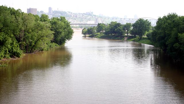 Licking RiverCanoeingPhoto: Rdikeman at English Wikipedia, CC BY-SA 3.0 (via Wikimedia Commons)7.8 mi
- Middle Creek Levisa ForkCanoeing9.7 mi
Source: Roamze catalog (indexable pages within 10 miles, PostGIS distance)
 Paintsville Lake State ParkState park · ~26 min drivePhoto: J654567, CC BY-SA 3.0 (via Wikimedia Commons)
 Jenny Wiley State Resort ParkState park · ~29 min drivePhoto: U.S. Army Corps of Engineers, photographer not specified or unknown, Public domain (via Wikimedia Commons)
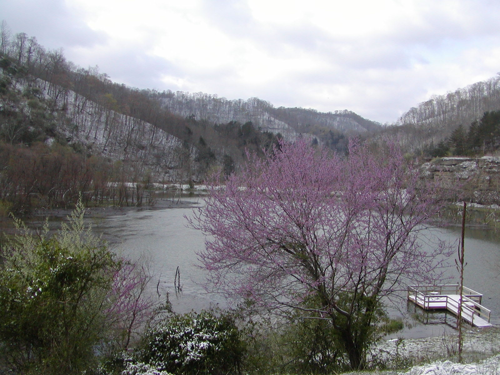 Carr Creek State ParkState park · ~52 min drivePhoto: Kevin Wrigh, U.S. Army Corps of Engineers, Public domain (via Wikimedia Commons)
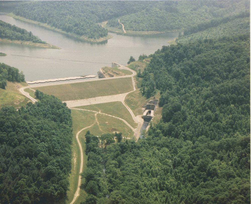 Yatesville Lake State ParkState park · ~59 min drivePhoto: U.S. Army Corps of Engineers, Huntington District, Public domain (via Wikimedia Commons)
 Natural Bridge State Resort ParkState park · ~1h 2m drivePhoto: Ken Thomas, Public domain (via Wikimedia Commons)
 Grayson Lake State ParkState park · ~1h 3m drivePhoto: U.S. Army Corps of Engineers, photographer not specified or unknown, Public domain (via Wikimedia Commons)
 Breaks Interstate ParkState park · ~1h 23m drivePhoto: SheepNotGoats, CC BY-SA 3.0 (via Wikimedia Commons)
- Breaks Interstate ParkState park · ~1h 21m drivePhoto: SheepNotGoats, CC BY-SA 3.0 (via Wikimedia Commons)
- Kingdom Come State ParkState park · ~1h 20m drive
- Carter Caves State Resort ParkState park · ~1h 23m drive
Best time to visit Dawkins Line Rail Trail
Best months: April–June and August–November. Best months have typical highs of 55–85 °F, lows of 30 °F or warmer (32 °F where the station doesn't record snow), at most one snowy day and no more than 12 wet days.
Jan
43° / 23°
Feb
48° / 25°
Mar
57° / 31°
Apr
68° / 40°
May
76° / 51°
Jun
83° / 60°
Jul
86° / 64°
Aug
85° / 62°
Sep
80° / 55°
Oct
70° / 42°
Nov
58° / 32°
Dec
48° / 27°
Typical high / low (°F) and days with rain or snow, 1991–2020. Measured at Salyersville Wtr Wks, KY, 4.9 mi away at 970 ft. We don't have this place's elevation, so higher spots nearby can run cooler. This station doesn't record snowfall. Source: NOAA NCEI U.S. Climate Normals 1991–2020.
