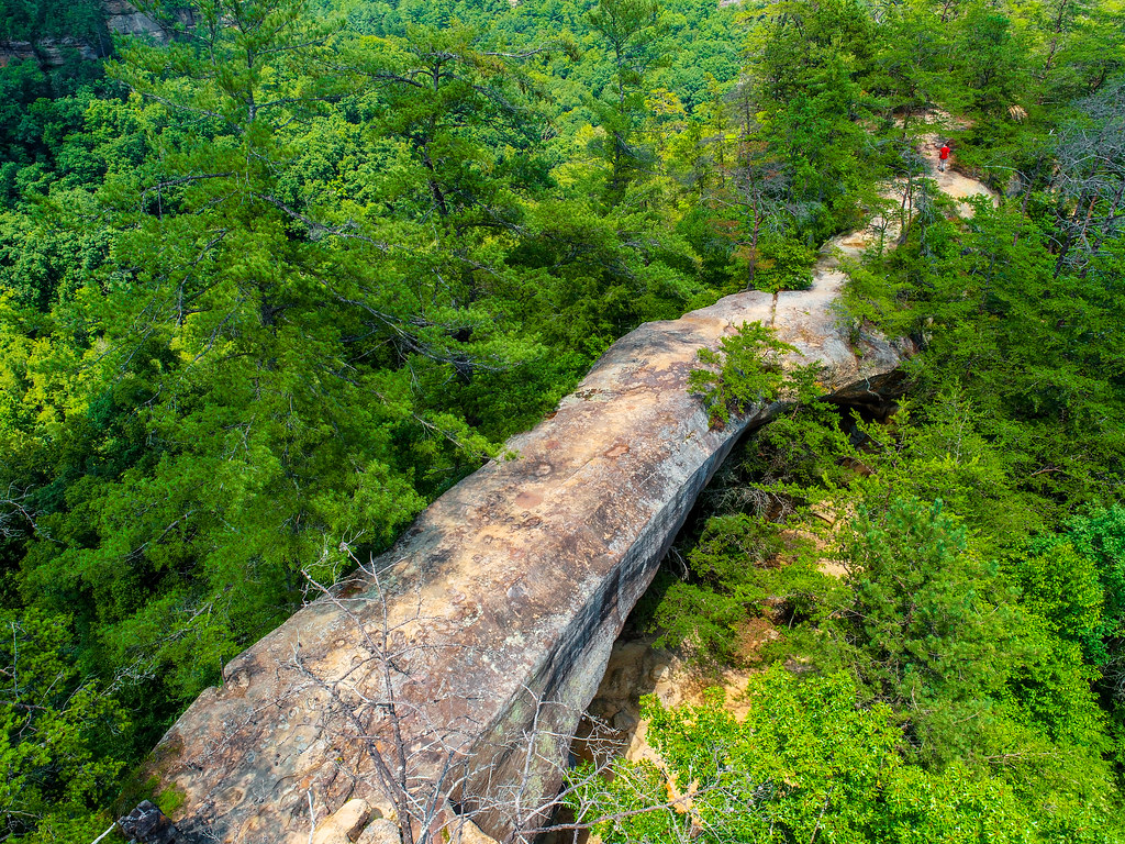
Wall of Denial
15-route climbing crag in Kentucky with sport and trad options.
- 15 routes
- 5.6 – 5.12a
- Trad · Sport
Is Wall of Denial open right now?
Closure in the area
There's a closure order in Daniel Boone National Forest. It doesn't name Wall of Denial, so check the source for the area it covers (2 listed).
National Visitor Use Monitoring, Oct 2026-Sept 2027
Agency closure covering Daniel Boone National Forest · USFS · Daniel Boone National Forest
Scott Creek Boat ramp briefly inaccessible, July 30
Agency closure covering Daniel Boone National Forest · USFS · Daniel Boone National Forest
Low water levels at Laurel River Lake
Agency alert covering Daniel Boone National Forest · USFS · Daniel Boone National Forest
Active logging operations near Redbird Crest Trail Sections 17-19
Agency alert covering Daniel Boone National Forest · USFS · Daniel Boone National Forest
Cliffside Trail #519 Closure
Agency alert covering Daniel Boone National Forest · USFS · Daniel Boone National Forest
As of · Source: USFS · Daniel Boone National Forest. Agencies don't list every closure — check before you go.
Best time to visit Wall of Denial
Best months: August–November. Best months have typical highs of 55–85 °F, lows of 30 °F or warmer (32 °F where the station doesn't record snow), at most one snowy day and no more than 12 wet days.
Jan
42° / 24°
13 wet
Feb
47° / 27°
13 wet
Mar
57° / 34°
15 wet
Apr
68° / 44°
15 wet
May
75° / 53°
15 wet
Jun
82° / 61°
14 wet
Jul
84° / 65°
14 wet
Aug
84° / 64°
12 wet
Sep
79° / 57°
10 wet
Oct
69° / 44°
12 wet
Nov
57° / 35°
12 wet
Dec
46° / 28°
13 wet
Typical high / low (°F) and days with rain or snow, 1991–2020. Measured at Beattyville 4n, KY, 15.5 mi away at 1,080 ft. This station doesn't record snowfall. Source: NOAA NCEI U.S. Climate Normals 1991–2020.
Wall of Denial is a climbing area in the Clifty Wilderness, part of the Cumberland Ranger District of Daniel Boone National Forest in Kentucky. The Forest Service manages the land, and the area sits within designated wilderness. The climbing here is a mix of trad and sport routes, with 12 trad and 3 sport routes among the 15 listed. Grades run from 5.6 to 5.12a, with the median at 5.9. Some of the named routes include Bongo (5.6), Red River Renaissance (5.9) and Toxic Avenger (5.10d), and the hardest is Campfire Crank at 5.12a. For timing, late spring and early fall are the most comfortable. Typical averages from a nearby weather station in Beattyville show May highs around 75°F and September highs near 79°F, with October cooling to about 69°F. Eagle Point Buttress and Moonshiner's Wall are both climbing areas within a mile, and the Osborne Bend Loop hike is about 0.7 miles away. For an overnight stay, Menifee County Dispersed Rec. Sites is roughly 5 miles off.
Routes (15)
Keep exploring — more climbs worth the drive
 Photo: US Forest Service - Southern Region, Public Domain Mark (via Flickr)
Lower Sky Bridge Ridge
~2 min drive
Kentucky climbing on natural rock with varied terrain and scenic setting.
 Photo: US Forest Service - Southern Region, Public Domain Mark (via Flickr)
Eastern Sky Bridge Ridge
~2 min drive
Eastern Sky Bridge Ridge in Kentucky has 24 climbing routes across 16 grades.
 Photo: US Forest Service - Southern Region, Public domain (via Wikimedia Commons)
Hen's Nest Rock
~2 min drive
Hen's Nest Rock in Kentucky offers 10 traditional climbing routes across 7 difficulty grades.
Photo: US Forest Service - Southern Region, Public Domain Mark (via Flickr)Eastern Skybridge Ridge
~2 min drive
Kentucky sandstone climbing in the Red River Gorge region with scenic forest setting.
Photo: US Forest Service - Southern Region, Public Domain Mark (via Flickr)Buzzard's Roost
~3 min drive
Kentucky crag with varied climbing on natural rock formations.
 Photo: US Forest Service - Southern Region, Public Domain Mark (via Flickr)
Half Moon
~6 min drive
Accessible Kentucky climbing area with moderate routes for developing climbers.
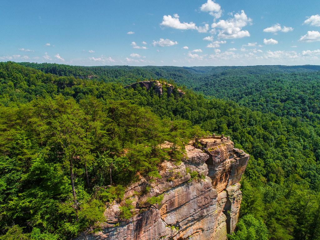 Photo: US Forest Service - Southern Region, Public Domain Mark (via Flickr)
Princess Arch
~6 min drive
7 routes at Princess Arch in Kentucky span 6 difficulty grades, offering mixed and traditional climbing.
 Photo: karen roussel, CC0 (via Flickr)
Window Wall
~6 min drive
Kentucky climbing area with varied routes for multiple skill levels.
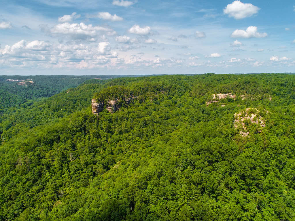 Photo: US Forest Service - Southern Region, Public Domain Mark (via Flickr)
Pinch-em Tight Ridge
~7 min drive
Technical Kentucky crag known for demanding climbing and distinctive rock features.
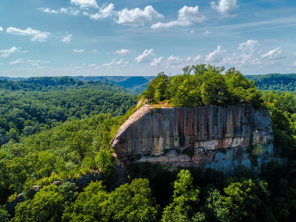 Photo: US Forest Service - Southern Region, Public Domain Mark (via Flickr)
Tarr Ridge
~9 min drive
Kentucky ridge crag with varied climbing for multiple skill levels.