
Miguels Rock Climbing Shop
Rock Climbing business nearby (~2 mi away) — hasn't claimed their Roamze page yet
Mid-range climb among 41 routes at Military Wall, Kentucky.
Closure in the area
There's a closure order in Daniel Boone National Forest. It doesn't name Not Worth It, so check the source for the area it covers (2 listed).
National Visitor Use Monitoring, Oct 2026-Sept 2027
Agency closure covering Daniel Boone National Forest · USFS · Daniel Boone National Forest
Scott Creek Boat ramp briefly inaccessible, July 30
Agency closure covering Daniel Boone National Forest · USFS · Daniel Boone National Forest
Low water levels at Laurel River Lake
Agency alert covering Daniel Boone National Forest · USFS · Daniel Boone National Forest
Active logging operations near Redbird Crest Trail Sections 17-19
Agency alert covering Daniel Boone National Forest · USFS · Daniel Boone National Forest
Cliffside Trail #519 Closure
Agency alert covering Daniel Boone National Forest · USFS · Daniel Boone National Forest
As of · Source: USFS · Daniel Boone National Forest. Agencies don't list every closure — check before you go.
Best months: August–November. Best months have typical highs of 55–85 °F, lows of 30 °F or warmer (32 °F where the station doesn't record snow), at most one snowy day and no more than 12 wet days.
Jan
42° / 24°
13 wet
Feb
47° / 27°
13 wet
Mar
57° / 34°
15 wet
Apr
68° / 44°
15 wet
May
75° / 53°
15 wet
Jun
82° / 61°
14 wet
Jul
84° / 65°
14 wet
Aug
84° / 64°
12 wet
Sep
79° / 57°
10 wet
Oct
69° / 44°
12 wet
Nov
57° / 35°
12 wet
Dec
46° / 28°
13 wet
Typical high / low (°F) and days with rain or snow, 1991–2020. Measured at Beattyville 4n, KY, 12.8 mi away at 1,080 ft. This station doesn't record snowfall. Source: NOAA NCEI U.S. Climate Normals 1991–2020.
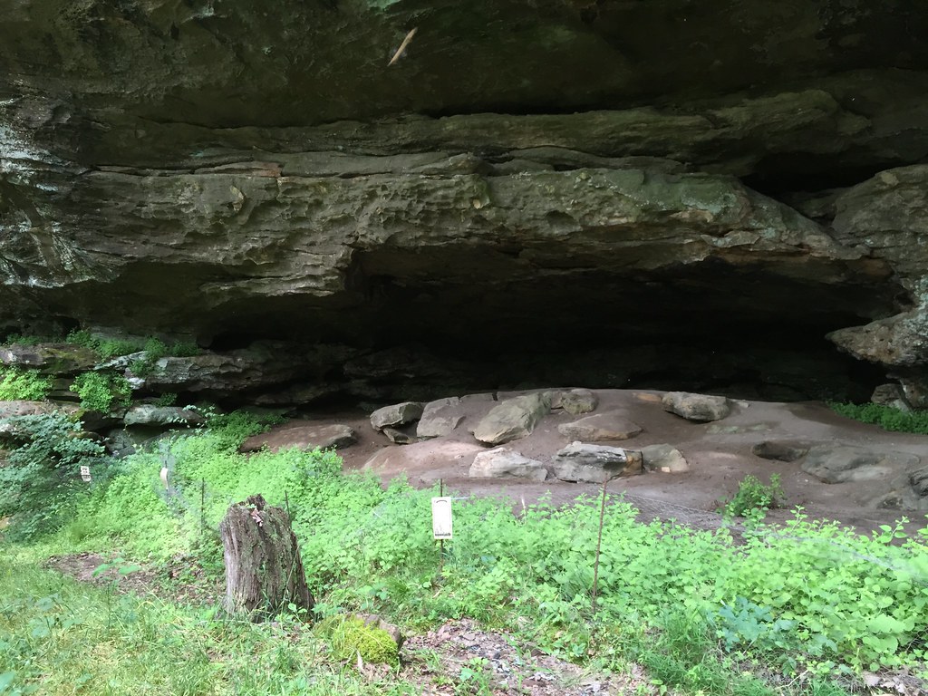
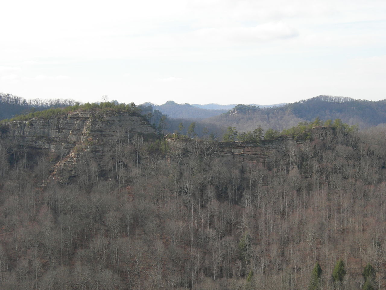
One of 41 routes catalogued at Military Wall, this climb sits in the middle of the crag's range that spans from 5.7 to 5.13d.
 Photo: pmuellr, CC BY 2.0 (via Flickr)
Haystack Rock
~2 min drive
Haystack Rock is a Kentucky climbing crag with 6 routes.
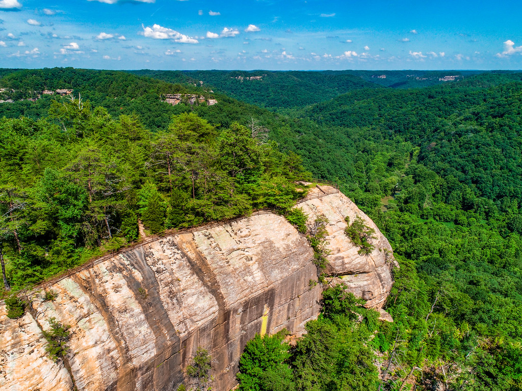 Photo: US Forest Service - Southern Region, Public Domain Mark (via Flickr)
Raven Rock
~2 min drive
Natural rock climbing area in Kentucky with varied climbing opportunities.
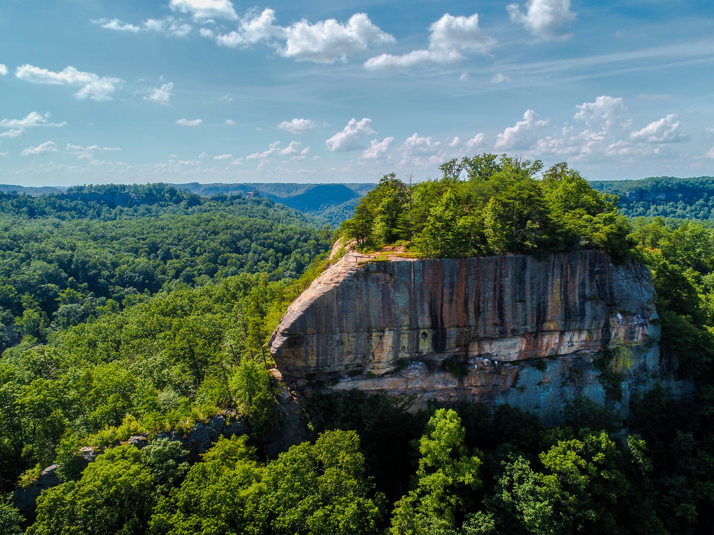 Photo: US Forest Service - Southern Region, Public Domain Mark (via Flickr)
Tarr Ridge
~3 min drive
Kentucky ridge crag with varied climbing for multiple skill levels.
 Photo: US Forest Service - Southern Region, Public Domain Mark (via Flickr)
Long Wall
~3 min drive
Long Wall in Kentucky has 40 climbing routes with bouldering pads, sport, and trad.
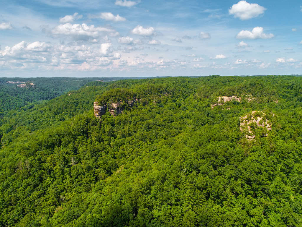 Photo: US Forest Service - Southern Region, Public Domain Mark (via Flickr)
Pinch-em Tight Ridge
~4 min drive
Technical Kentucky crag known for demanding climbing and distinctive rock features.
 Photo: karen roussel, CC0 (via Flickr)
Window Wall
~4 min drive
Kentucky climbing area with varied routes for multiple skill levels.
 Photo: US Forest Service - Southern Region, Public Domain Mark (via Flickr)
Half Moon
~5 min drive
Accessible Kentucky climbing area with moderate routes for developing climbers.
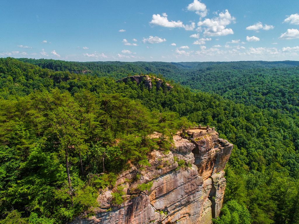 Photo: US Forest Service - Southern Region, Public Domain Mark (via Flickr)
Princess Arch
~5 min drive
7 routes at Princess Arch in Kentucky span 6 difficulty grades, offering mixed and traditional climbing.
 Photo: Hyokano, CC BY-SA 2.0 (via Flickr)
Natural Bridge Region
~5 min drive
Natural Bridge Region in Kentucky has 9 climbing routes with 8 difficulty grades.
Left Flank
~1 min drive
Left Flank in Kentucky has 22 climbing routes with bouldering, sport, and trad options.
Also worth it near here
Outfitters and businesses near Stanton. They haven’t set up their Roamze page yet.
Miguels Rock Climbing Shop
Rock Climbing business nearby (~2 mi away) — hasn't claimed their Roamze page yet
