Miguels Rock Climbing Shop
Rock Climbing business nearby (~5 mi away) — hasn't claimed their Roamze page yet
Upper-intermediate route among 28 climbs at Pebble Beach.
Closure in the area
There's a closure order in Daniel Boone National Forest. It doesn't name Can o’ Peaches, so check the source for the area it covers (2 listed).
National Visitor Use Monitoring, Oct 2026-Sept 2027
Agency closure covering Daniel Boone National Forest · USFS · Daniel Boone National Forest
Scott Creek Boat ramp briefly inaccessible, July 30
Agency closure covering Daniel Boone National Forest · USFS · Daniel Boone National Forest
Low water levels at Laurel River Lake
Agency alert covering Daniel Boone National Forest · USFS · Daniel Boone National Forest
Active logging operations near Redbird Crest Trail Sections 17-19
Agency alert covering Daniel Boone National Forest · USFS · Daniel Boone National Forest
Cliffside Trail #519 Closure
Agency alert covering Daniel Boone National Forest · USFS · Daniel Boone National Forest
As of · Source: USFS · Daniel Boone National Forest. Agencies don't list every closure — check before you go.
Best months: June and August–November. Best months have typical highs of 55–85 °F, lows of 30 °F or warmer (32 °F where the station doesn't record snow), at most one snowy day and no more than 12 wet days.
Jan
42° / 23°
13 wet
Feb
47° / 26°
13 wet
Mar
56° / 33°
14 wet
Apr
67° / 42°
13 wet
May
75° / 52°
13 wet
Jun
82° / 60°
12 wet
Jul
84° / 64°
13 wet
Aug
83° / 63°
11 wet
Sep
79° / 56°
9 wet
Oct
69° / 43°
11 wet
Nov
57° / 34°
11 wet
Dec
46° / 28°
13 wet
Typical high / low (°F) and days with rain or snow, 1991–2020. Measured at Stanton 2w, KY, 12.3 mi away at 720 ft. This station doesn't record snowfall. Source: NOAA NCEI U.S. Climate Normals 1991–2020.
One of 28 routes catalogued at Pebble Beach, this climb sits in the upper-intermediate range of the crag's 5.3 to 5.13a span.
 Photo: US Forest Service - Southern Region, Public Domain Mark (via Flickr)
Long Wall
~2 min drive
Long Wall in Kentucky has 40 climbing routes with bouldering pads, sport, and trad.
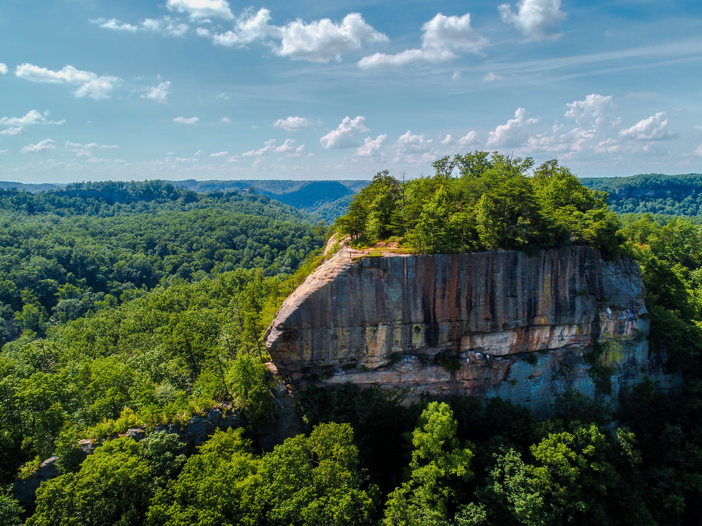 Photo: US Forest Service - Southern Region, Public Domain Mark (via Flickr)
Tarr Ridge
~3 min drive
Kentucky ridge crag with varied climbing for multiple skill levels.
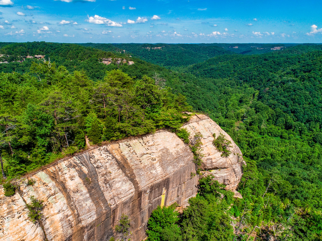 Photo: US Forest Service - Southern Region, Public Domain Mark (via Flickr)
Raven Rock
~3 min drive
Natural rock climbing area in Kentucky with varied climbing opportunities.
 Photo: pmuellr, CC BY 2.0 (via Flickr)
Haystack Rock
~3 min drive
Haystack Rock is a Kentucky climbing crag with 6 routes.
 Photo: karen roussel, CC0 (via Flickr)
Window Wall
~5 min drive
Kentucky climbing area with varied routes for multiple skill levels.
Pistol Ridge
~1 min drive
Pistol Ridge in Kentucky has 28 climbing routes across 22 difficulty grades.
Clearcut Wall
~1 min drive
Kentucky climbing crag with varied routes for multiple skill levels.
Bear Wollor Hollor
~1 min drive
Kentucky climbing in a natural hollow setting with varied rock climbing opportunities.
Brighton Wall
~2 min drive
Kentucky climbing area with varied routes for multiple skill levels.
Between Wall
~2 min drive
Kentucky climbing area with varied routes for developing climbers.
Also worth it near here
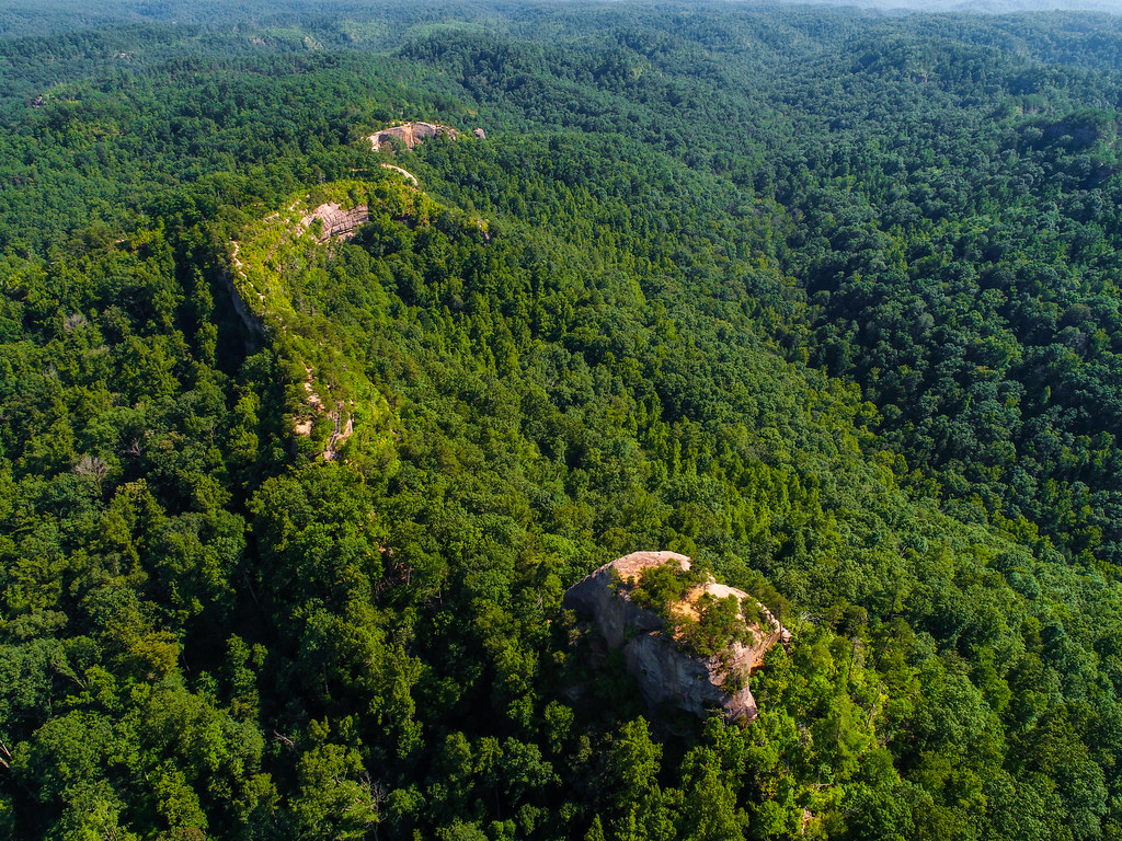 Photo: US Forest Service - Southern Region, Public Domain Mark (via Flickr)
Pebble Beach Trail #237
~0 min drive
 Photo: Jarek Tuszyński (user:Jarekt), CC BY 3.0 (via Wikimedia Commons)
Indian Creek Camping Area
~0 min drive
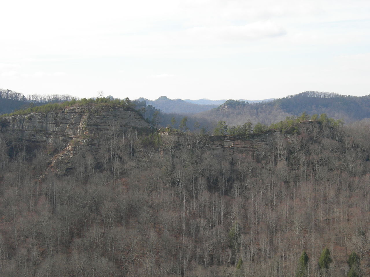 Photo: Kyryc at English Wikipedia, CC BY-SA 3.0 (via Wikimedia Commons)
Double Arch
~3 min drive
Tower Rock
~8 min drive
Outfitters and businesses near Frenchburg. They haven’t set up their Roamze page yet.
Miguels Rock Climbing Shop
Rock Climbing business nearby (~5 mi away) — hasn't claimed their Roamze page yet
