Indian Creek Camping Area
Campground
Campground · 2.0 mi from the trail
Closure in the area
There's a closure order in Daniel Boone National Forest. It doesn't name Blackburn Rock, so check the source for the area it covers (2 listed).
National Visitor Use Monitoring, Oct 2026-Sept 2027
Agency closure covering Daniel Boone National Forest · USFS · Daniel Boone National Forest
Scott Creek Boat ramp briefly inaccessible, July 30
Agency closure covering Daniel Boone National Forest · USFS · Daniel Boone National Forest
Low water levels at Laurel River Lake
Agency alert covering Daniel Boone National Forest · USFS · Daniel Boone National Forest
Active logging operations near Redbird Crest Trail Sections 17-19
Agency alert covering Daniel Boone National Forest · USFS · Daniel Boone National Forest
Cliffside Trail #519 Closure
Agency alert covering Daniel Boone National Forest · USFS · Daniel Boone National Forest
As of · Source: USFS · Daniel Boone National Forest. Agencies don't list every closure — check before you go.
Blackburn Rock is a Kentucky climbing destination offering a mix of routes across various difficulty levels. The crag provides solid rock climbing opportunities in a natural Kentucky setting, making it accessible to climbers seeking quality routes without extensive travel.
Indian Creek Camping Area
Campground
Red River Museum
Museum
Places © OpenStreetMap contributors
More in Stanton Long WallRock climbing · ~5 min drivePhoto: US Forest Service - Southern Region, Public Domain Mark (via Flickr)
 Haystack RockRock climbing · ~6 min drivePhoto: pmuellr, CC BY 2.0 (via Flickr)
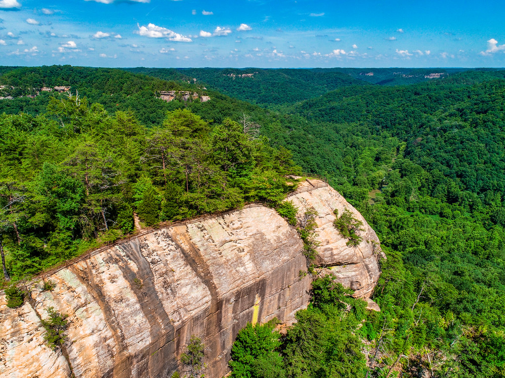 Raven RockRock climbing · ~6 min drivePhoto: US Forest Service - Southern Region, Public Domain Mark (via Flickr)
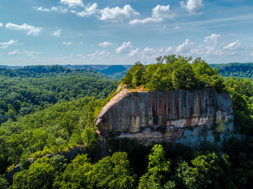 Tarr RidgeRock climbing · ~6 min drivePhoto: US Forest Service - Southern Region, Public Domain Mark (via Flickr)
Also worth it near here
 Indian Creek Camping AreaCamping · ~4 min drivePhoto: Jarek Tuszyński (user:Jarekt), CC BY 3.0 (via Wikimedia Commons)
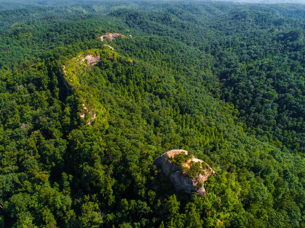 Pebble Beach Trail #237Hiking · ~4 min drivePhoto: US Forest Service - Southern Region, Public Domain Mark (via Flickr)
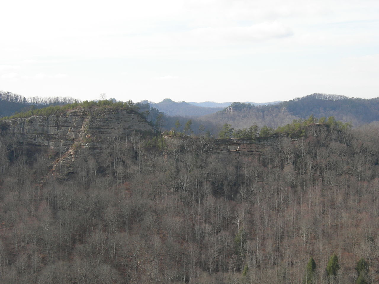 Double ArchNatural arch · ~5 min drivePhoto: Kyryc at English Wikipedia, CC BY-SA 3.0 (via Wikimedia Commons)
Best months: June and August–November. Best months have typical highs of 55–85 °F, lows of 30 °F or warmer (32 °F where the station doesn't record snow), at most one snowy day and no more than 12 wet days.
Jan
42° / 23°
13 wet
Feb
47° / 26°
13 wet
Mar
56° / 33°
14 wet
Apr
67° / 42°
13 wet
May
75° / 52°
13 wet
Jun
82° / 60°
12 wet
Jul
84° / 64°
13 wet
Aug
83° / 63°
11 wet
Sep
79° / 56°
9 wet
Oct
69° / 43°
11 wet
Nov
57° / 34°
11 wet
Dec
46° / 28°
13 wet
Typical high / low (°F) and days with rain or snow, 1991–2020. Measured at Stanton 2w, KY, 10.7 mi away at 720 ft. This station doesn't record snowfall. Source: NOAA NCEI U.S. Climate Normals 1991–2020.
No routes catalogued here yet
We have this crag's location and access details, but not its individual climbs. Routes appear here as our sources add them.
The map shows other climbing nearby, or browse more crags.
Map and trail data © OpenStreetMap contributors
