Sheltowee Trace Trail
- 2.9 mi
- round trip
- 462 ft
- climb
- Out and back
- route
- Sep–Nov
- best months
Caution today
Agency alerts are in effect for this area; weather is good · USFS, OpenWeather · checked 2 h ago
Is Sheltowee Trace Trail open right now?
Closure in the area
There's a closure order in Daniel Boone National Forest. It doesn't name Sheltowee Trace Trail, so check the source for the area it covers (3 listed).
Fees waived for Veterans Day, Nov 11
Agency closure covering Daniel Boone National Forest · USFS · Daniel Boone National Forest
National Visitor Use Monitoring, Oct 2026-Sept 2027
Agency closure covering Daniel Boone National Forest · USFS · Daniel Boone National Forest
Scott Creek Boat ramp briefly inaccessible, July 30
Agency closure covering Daniel Boone National Forest · USFS · Daniel Boone National Forest
Low water levels at Laurel River Lake
Agency alert covering Daniel Boone National Forest · USFS · Daniel Boone National Forest
Active logging operations near Redbird Crest Trail Sections 17-19
Agency alert covering Daniel Boone National Forest · USFS · Daniel Boone National Forest
As of · Source: USFS · Daniel Boone National Forest. Agencies don't list every closure — check before you go.
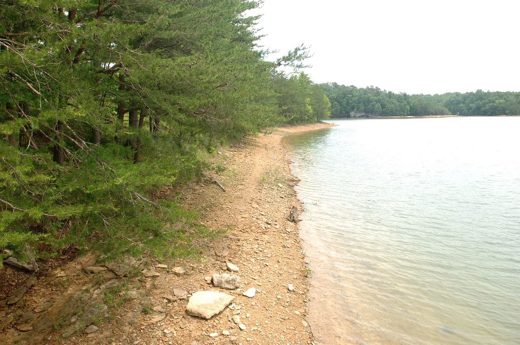
The Sheltowee Trace Trail is a 2.9-mile mountain biking route in Kentucky, set within the Laurel Rv Recreation Area on land managed by the Army Corps of Engineers. It lies in the London Ranger District of Daniel Boone National Forest, about 13 miles from London. The trail is an out-and-back with a total length of about 5.8 miles and a one-way climb of 462 feet, from a low of about 742 feet to a high of about 1,110 feet. It is rated moderate. For comfortable weather, aim for late spring or early fall. Typical averages from a nearby weather station in London run to highs around 77°F in May and 80°F in September, with October highs near 70°F. The Laurel Loop Trail starts just 0.2 miles away, and Holly Bay Trail #481 is about 0.9 miles off. Holly Bay campground sits about 1.5 miles away, and Craigs Creek Group Campground is about 2.4 miles away.
Best time to go · Sep–Nov
Best time to visit Sheltowee Trace Trail
Best months: September–November. Best months have typical highs of 55–85 °F, lows of 30 °F or warmer (32 °F where the station doesn't record snow), at most one snowy day and no more than 12 wet days.
Jan
45° / 27°
12 wet
Feb
50° / 30°
12 wet
Mar
58° / 36°
13 wet
Apr
69° / 45°
13 wet
May
77° / 54°
14 wet
Jun
84° / 62°
13 wet
Jul
86° / 66°
13 wet
Aug
86° / 65°
10 wet
Sep
80° / 58°
8 wet
Oct
70° / 45°
9 wet
Nov
58° / 36°
10 wet
Dec
48° / 30°
12 wet
Typical high / low (°F) and days with rain or snow, 1991–2020. Measured at London Corbin Ap, KY, 13.8 mi away at 1,188 ft. This station doesn't record snowfall. Source: NOAA NCEI U.S. Climate Normals 1991–2020.
Keep exploring — more rides worth the drive
RIDE
Sheltowee Trace Trail
~3 min drive
3.67-mile out-and-back trail in Kentucky rated moderate difficulty.
RIDE
Sheltowee Trace Trail
~4 min drive
7.62-mile hard out-and-back trail in Kentucky rated Black Diamond / Difficult
RIDE
Fork Ridge Trail Unmaintained
~1h 4m drive
0.5 mi · Expert
RIDE
Sheltowee Trace Trail
~8 min drive
6.29-mile out-and-back trail in Kentucky, rated moderate difficulty.
RIDE
Sheltowee Trace Trail
~12 min drive
Hard
RIDE
Sheltowee Trace
~8 min drive
0.12-mile moderate out-and-back trail in Kentucky.
RIDE
Sheltowee Trace
~22 min drive
1.42-mile out-and-back trail in Kentucky rated black diamond / difficult
RIDE
Sheltowee Trace
~11 min drive
2.11-mile moderate out-and-back trail in Kentucky.
RIDE
Sheltowee Trace
~26 min drive
2.92-mile out-and-back trail in Kentucky rated as a Black Diamond / Difficult by IMBA.
RIDE
Sheltowee Trace
~16 min drive
2.54-mile out-and-back trail in Kentucky rated as moderate difficulty.

Map and trail data © OpenStreetMap contributors
