Upper Hines trail
- 1.1 mi
- round trip
- 528 ft
- climb
- 934 ft
- high point
- Out and back
- route
- Mar–Jun, Sep–Nov
- best months
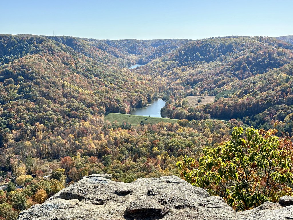
Upper Hines trail is a short out-and-back hike in Kentucky, about 0.6 miles from the town of Blue Grass. The route is about 2.3 miles long, and the one-way climb is roughly 117 feet. The trail reaches a high point of 934 feet and a low point of 639 feet, with the steepest section at about mile 1, where the grade tops 13%. The round-trip gain and loss are each about 528 feet. Spring and fall are the most comfortable times to go. Typical averages from a nearby weather station show October highs around 69°F and lows near 44°F, while May runs about 76°F by day and 54°F at night. The hike takes about an hour to complete. The closest trails are the Freedom Trail and the Raven Run Prather House Trail, both about 3.8 miles away, with Raven Run Meadow Trail at about 4 miles. Boone Creek offers paddling about 6.4 miles from the trail.
Local outfitters
- Miguels Rock Climbing Shop37 mi away
Not on Roamze yet. Their page has how to reach them.
- Freedom TrailHiking3.8 mi
- Raven Run Prather House TrailHiking3.8 mi
- Raven Run Meadow TrailHiking4 mi
- Raven Run Blue TrailHiking4.1 mi
- Raven Run Red Loop TrailHiking4.1 mi
- Boone CreekCanoeing6.4 mi
- East Hickman CreekCanoeing9 mi
- Hickman CreekCanoeing9.4 mi
Source: Roamze catalog (indexable pages within 10 miles, PostGIS distance)
 Upper West Pinnacle TrailHiking · ~35 min drivePhoto: Navin75, CC BY-SA 2.0 (via Flickr)
- Upper Palisades TrailHiking · ~28 min drive
- Walnut TrailHiking · ~35 min drivePhoto: Navin75, CC BY-SA 2.0 (via Flickr)
- Kelly’s TrailHiking · ~35 min drive
- Upper East Pinnacle TrailHiking · ~36 min drivePhoto: Navin75, CC BY-SA 2.0 (via Flickr)
- East Pinnacle TrailHiking · ~37 min drive
- Raven Run Red Loop TrailHiking · ~6 min drive
- Freedom TrailHiking · ~7 min drive
- Raven Run Prather House TrailHiking · ~7 min drive
- Raven Run Meadow TrailHiking · ~7 min drive
Best time to visit Upper Hines trail
Best months: March–June and September–November. Best months have typical highs of 55–85 °F, lows of 30 °F or warmer (32 °F where the station doesn't record snow), at most one snowy day and no more than 12 wet days.
Jan
42° / 25°
Feb
48° / 27°
Mar
56° / 34°
Apr
67° / 43°
May
76° / 54°
Jun
83° / 62°
Jul
87° / 66°
Aug
86° / 65°
Sep
80° / 57°
Oct
69° / 44°
Nov
56° / 36°
Dec
46° / 28°
Typical high / low (°F) and days with rain or snow, 1991–2020. Measured at Eastern Kentucky Univ, KY, 7 mi away at 1,000 ft. This station doesn't record snowfall. Source: NOAA NCEI U.S. Climate Normals 1991–2020.
Map and trail data © OpenStreetMap contributors
