Owensboro Health Walking Trail
- 1.1 mi
- loop
- 64 ft
- climb
- 407 ft
- high point
- Loop
- route
- Apr–Nov
- best months
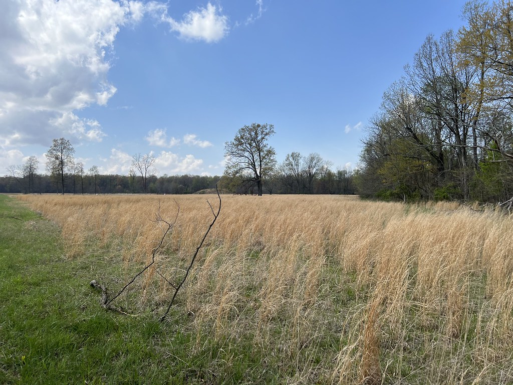
Owensboro Health Walking Trail is a short, easy loop in southern Kentucky, about 1.6 miles from the community of The Downs. The trail is about a mile long, with a total climb of about 64 feet, making it a gentle outing for a walk or a break from driving. The route is nearly flat, with the highest point at about 407 feet and the lowest at about 394 feet. The steepest stretch comes at about a mile in, with a grade of roughly 2 percent. The loop is short enough to fit into a quick stop. Spring and fall are the most comfortable times to go. Typical averages from the nearby Tell City weather station show October highs around 68°F and April highs around 66°F, while July and August average highs of about 85°F. Other trails are close by. Blue Trail is about 2.1 miles away, Riverside Walk about 2.9 miles, and Legion Park Trail about 3.5 miles. Paddlers can head to Panther Creek, roughly 5.9 miles off.
- Blue TrailHiking2.1 mi
- Riverside WalkHiking2.9 mi
- Legion Park TrailHiking3.5 mi
- Moreland TrailHiking3.6 mi
 Dugan Best Park TrailHikingPhoto: Steve Ryan from Groveland, California, United States, CC BY-SA 2.0 (via Wikimedia Commons)4.3 mi
- Walking pathHikingPhoto: Steve Ryan from Groveland, California, United States, CC BY-SA 2.0 (via Wikimedia Commons)4.6 mi
- Panther CreekCanoeing5.9 mi
- North Fork Panther CreekCanoeing7.6 mi
Source: Roamze catalog (indexable pages within 10 miles, PostGIS distance)
- Dugan Best Park TrailHiking · ~7 min drivePhoto: Steve Ryan from Groveland, California, United States, CC BY-SA 2.0 (via Wikimedia Commons)
 Angel Mounds Outer LoopHiking · ~43 min drivePhoto: «Gaurav», CC BY-SA 2.0 (via Flickr)
- German Ridge 2Hiking · ~47 min drive
- Walking pathHiking · ~8 min drivePhoto: Steve Ryan from Groveland, California, United States, CC BY-SA 2.0 (via Wikimedia Commons)
- Blue TrailHiking · ~13 min drive
- German Ridge 3Hiking · ~48 min drive
 Martin TrailHiking · ~42 min drivePhoto: «Gaurav», CC BY-SA 2.0 (via Flickr)
- French Island TrailHiking · ~27 min drive
 Martin TrailHiking · ~42 min drivePhoto: «Gaurav», CC BY-SA 2.0 (via Flickr)
- Jeffreys Cliffs Upper TrailsHiking · ~37 min drive
Best time to visit Owensboro Health Walking Trail
Best months: April–November. Best months have typical highs of 55–85 °F, lows of 30 °F or warmer (32 °F where the station doesn't record snow), at most one snowy day and no more than 12 wet days.
Jan
41° / 26°
9 wet
Feb
45° / 28°
8 wet
Mar
54° / 35°
10 wet
Apr
66° / 45°
11 wet
May
74° / 55°
11 wet
Jun
82° / 64°
9 wet
Jul
85° / 67°
8 wet
Aug
85° / 66°
7 wet
Sep
79° / 58°
7 wet
Oct
68° / 47°
8 wet
Nov
55° / 37°
9 wet
Dec
44° / 30°
10 wet
Typical high / low (°F) and days with rain or snow, 1991–2020. Measured at Tell City, IN, 19.8 mi away at 390 ft. This station doesn't record snowfall. Source: NOAA NCEI U.S. Climate Normals 1991–2020.
Map and trail data © OpenStreetMap contributors
