Messers Trail
- 1.4 mi
- round trip
- 724 ft
- climb
- 919 ft
- high point
- Out and back
- route
- Jun–Nov
- best months
Messers Trail is a short, easy out-and-back hike in Kentucky, about 1.2 miles from the town of Longlick. The route is roughly 2.8 miles long, with a total elevation gain of 724 feet, and it reaches a high point of 919 feet. The climb is steady, with the steepest stretch at about a mile in, where the grade reaches 5 percent. The most comfortable months for a visit are typically late spring and early fall. Typical averages from a nearby weather station in Versailles show May highs around 74°F and September highs around 78°F, with October cooling to about 67°F. The trail sits among several other short routes. Bra Creek Trail and Creekside Trail are each about 0.2 miles away, and Harbour Trail is about 0.3 miles off. For time on the water, Eagle Creek offers canoeing about 5.5 miles away.
- Bra Creek TrailHiking0.2 mi
- Creekside TrailHiking0.2 mi
- Harbour TrailHiking0.3 mi
- Beaver Cut TrailHiking0.3 mi
- Perimeter TrailHiking0.5 mi
- Cornett TrailHiking0.5 mi
- 3 Pig TrailHiking0.8 mi
- Eagle CreekCanoeing5.5 mi
Source: Roamze catalog (indexable pages within 10 miles, PostGIS distance)
 Sky TrailHiking · ~25 min drivePhoto: Joe K Gage, CC BY-SA 2.0 (via Flickr)
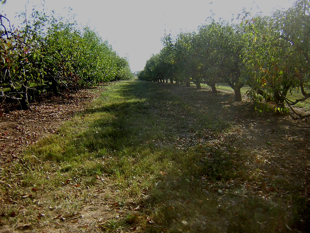 Hayride TrailHiking · ~42 min drivePhoto: RichardBowen, CC BY 2.0 (via Flickr)
 Greenway TrailsHiking · ~57 min drivePhoto: Pen Waggener, CC BY 2.0 (via Flickr)
- Bra Creek TrailHiking · Next door
- Creekside TrailHiking · Next door
- Harbour TrailHiking · Next door
- Beaver Cut TrailHiking · Next door
- Perimeter TrailHiking · Next door
- Cornett TrailHiking · Next door
- Perimeter TrailHiking · Next door
Best time to visit Messers Trail
Best months: June–November. Best months have typical highs of 55–85 °F, lows of 30 °F or warmer (32 °F where the station doesn't record snow), at most one snowy day and no more than 12 wet days.
Jan
41° / 25°
13 wet
Feb
45° / 28°
12 wet
Mar
54° / 35°
13 wet
Apr
65° / 45°
13 wet
May
74° / 55°
13 wet
Jun
82° / 62°
12 wet
Jul
84° / 66°
12 wet
Aug
84° / 64°
10 wet
Sep
78° / 57°
9 wet
Oct
67° / 46°
10 wet
Nov
55° / 36°
10 wet
Dec
45° / 29°
12 wet
Typical high / low (°F) and days with rain or snow, 1991–2020. Measured at Versailles 3 Nnw, KY, 18.5 mi away at 891 ft. This station doesn't record snowfall. Source: NOAA NCEI U.S. Climate Normals 1991–2020.
Map and trail data © OpenStreetMap contributors
