McCormick Trail
- 1.6 mi
- round trip
- 224 ft
- climb
- 426 ft
- high point
- Out and back
- route
- Mar–Jun, Sep–Nov
- best months
Clear today
Weather is good · OpenWeather · checked just now
McCormick Trail is a short, easy out-and-back hike in Kentucky, about 0.8 miles from the community of No Creek. The trail is roughly 3.2 miles long, with a total elevation gain of 224 feet, and it reaches a high point of 426 feet. The climb is gentle, with the steepest stretch at about 1.3 miles in, where the grade reaches 4 percent. Spring and fall are the most comfortable times to go. Typical averages from a nearby weather station in Beaver Dam show October highs around 70°F with lows near 45°F, and April is similar. Midsummer highs typically reach the upper 80s. The trip takes about an hour. Paddlers can find Barnett Creek about 3.6 miles away, with Muddy Creek, Lewis Creek and Threelick Fork all within about 10 miles.
- Barnett CreekCanoeing3.6 mi
- Muddy CreekCanoeing8.8 mi
- Lewis CreekCanoeing9 mi
- Threelick ForkCanoeing9.8 mi
Source: Roamze catalog (indexable pages within 10 miles, PostGIS distance)
 Dugan Best Park TrailHiking · ~37 min drivePhoto: Steve Ryan from Groveland, California, United States, CC BY-SA 2.0 (via Wikimedia Commons)
 Angel Mounds Outer LoopHiking · ~1h 12m drivePhoto: «Gaurav», CC BY-SA 2.0 (via Flickr)
- German Ridge 2Hiking · ~1h 6m drive
- Walking pathHiking · ~39 min drivePhoto: Steve Ryan from Groveland, California, United States, CC BY-SA 2.0 (via Wikimedia Commons)
- Blue TrailHiking · ~42 min drive
- German Ridge 1Hiking · ~1h 6m drive
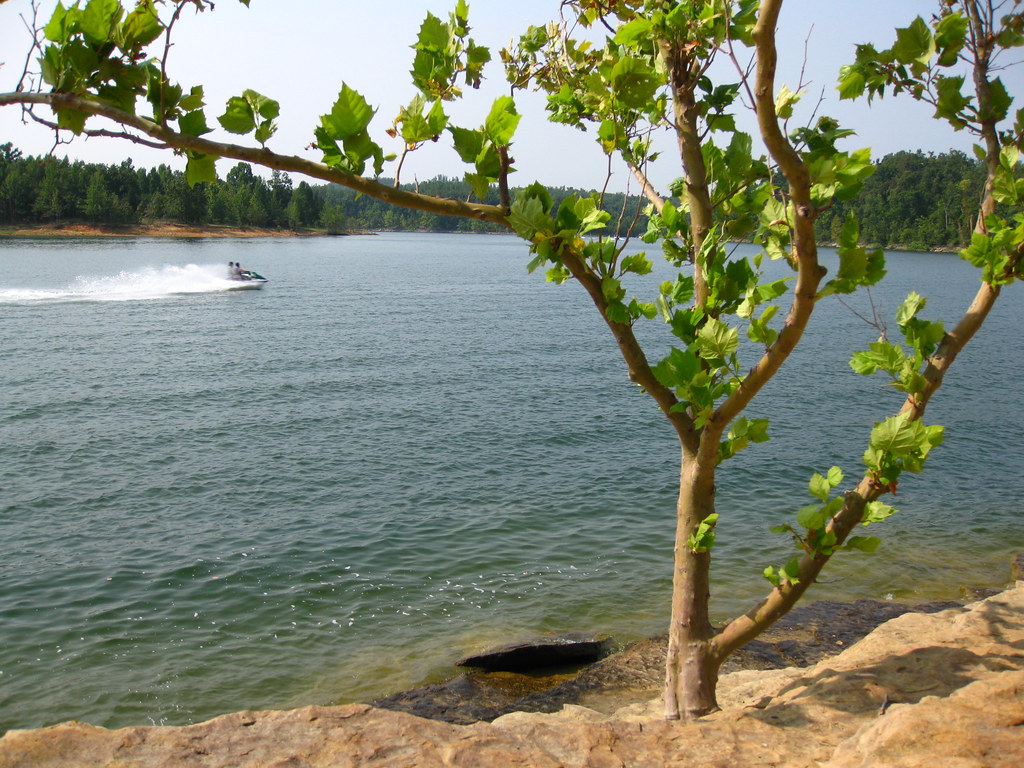 Nature walkHiking · ~47 min drivePhoto: daveynin, CC BY 2.0 (via Flickr)
- Jeffreys Cliffs Upper TrailsHiking · ~54 min drive
- German Ridge 4Hiking · ~1h 9m drive
 Martin TrailHiking · ~1h 11m drivePhoto: «Gaurav», CC BY-SA 2.0 (via Flickr)
Best time to visit McCormick Trail
Best months: March–June and September–November. Best months have typical highs of 55–85 °F, lows of 30 °F or warmer (32 °F where the station doesn't record snow), at most one snowy day and no more than 12 wet days.
Jan
44° / 24°
10 wet
Feb
49° / 27°
9 wet
Mar
58° / 35°
10 wet
Apr
70° / 45°
10 wet
May
77° / 56°
11 wet
Jun
85° / 64°
9 wet
Jul
88° / 68°
8 wet
Aug
88° / 65°
6 wet
Sep
82° / 58°
6 wet
Oct
70° / 45°
7 wet
Nov
58° / 36°
8 wet
Dec
47° / 29°
10 wet
Typical high / low (°F) and days with rain or snow, 1991–2020. Measured at Beaver Dam, KY, 3.7 mi away at 400 ft. This station doesn't record snowfall. Source: NOAA NCEI U.S. Climate Normals 1991–2020.
Map and trail data © OpenStreetMap contributors
