Liberty Island Loop
- 0.7 mi
- loop
- 58 ft
- climb
- 830 ft
- high point
- Loop
- route
- Jun, Sep–Nov
- best months
Liberty Island Loop is a short, easy loop hike in Kentucky, about 0.4 miles from the town of Liberty. It is a 0.72-mile loop with a flat profile, rising to a high point of 830 feet and dropping back to 799 feet, with an elevation gain of 58 feet one way. The route is easy on the legs and fits into a short outing close to town. Spring and fall are the most comfortable times to go. Typical averages from the nearby Bradfordsville weather station run to highs around 77°F in May and 71°F in October, while July highs average 88°F. That station sits about 170 feet lower than the trail, so temperatures on the loop run slightly cooler. The trip takes about half an hour. For more time on foot, Lake Liberty Loop Trail is about 2.6 miles away. Paddlers can reach Carpenter Creek, Casey Creek and the South Fork Green River within about 8 miles.
- Lake Liberty Loop TrailHiking2.6 mi
- Carpenter CreekCanoeing7.2 mi
- Casey CreekCanoeing8.1 mi
- Knob Lick CreekCanoeing8.1 mi
- South Fork Green RiverCanoeing8.4 mi
- Steel Knob Ridge TrailHiking9.2 mi
Source: Roamze catalog (indexable pages within 10 miles, PostGIS distance)
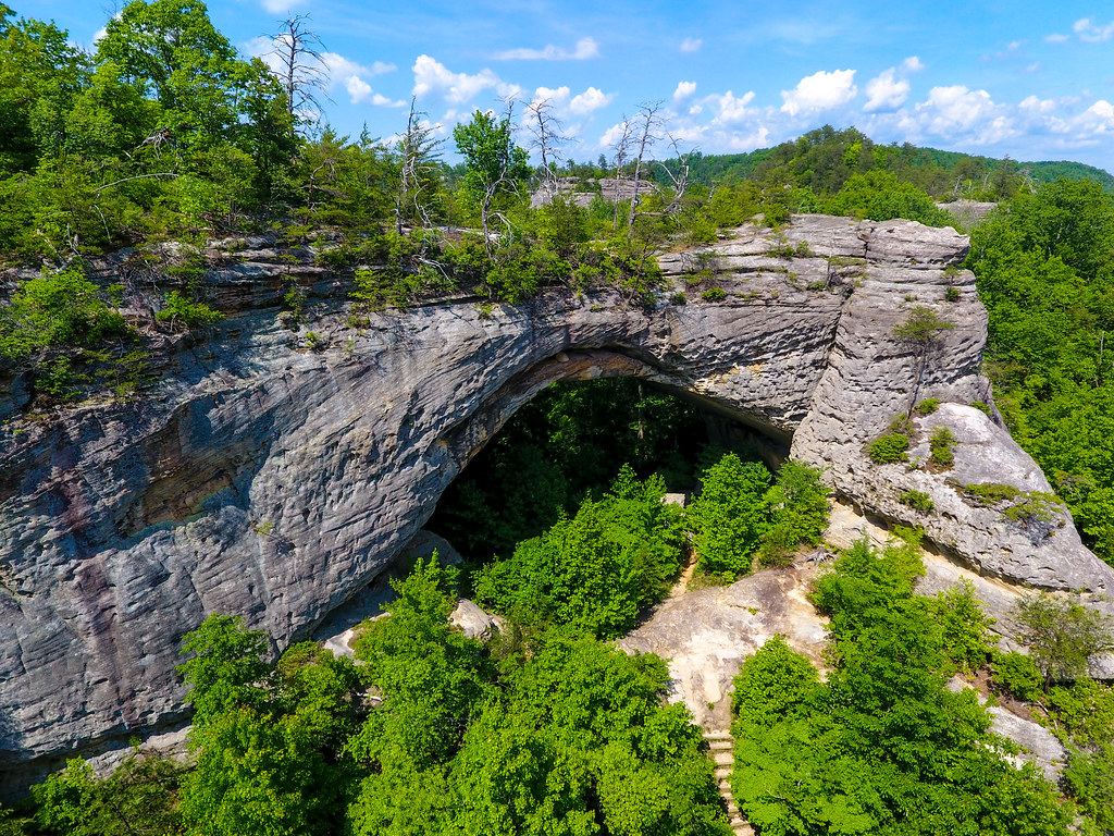 Buffalo Canyon Loop Trail #508Hiking · ~1h 7m drivePhoto: US Forest Service - Southern Region, Public Domain Mark (via Flickr)
- Lake Cumberland TrailsHiking · ~46 min drive
- Nathan McClure Trail #530Hiking · ~1h 7m drive
- Lake Liberty Loop TrailHiking · ~4 min drive
- Ridge TrailHiking · ~52 min drive
- Steel Knob Ridge TrailHiking · ~16 min drive
- Forest Ecosystem TrailHiking · ~52 min drive
- Circle Trail (1.7mi)Hiking · ~28 min drive
- Upper Palisades TrailHiking · ~1h 1m drive
- Corbins Bend TrailHiking · ~35 min drive
Best time to visit Liberty Island Loop
Best months: June and September–November. Best months have typical highs of 55–85 °F, lows of 30 °F or warmer (32 °F where the station doesn't record snow), at most one snowy day and no more than 12 wet days.
Jan
44° / 24°
12 wet · 4 snow
Feb
48° / 26°
11 wet · 3 snow
Mar
58° / 32°
12 wet · 2 snow
Apr
69° / 41°
13 wet
May
77° / 52°
13 wet
Jun
85° / 60°
11 wet
Jul
88° / 65°
10 wet
Aug
87° / 62°
9 wet
Sep
82° / 55°
8 wet
Oct
71° / 43°
9 wet
Nov
58° / 33°
10 wet · 1 snow
Dec
48° / 28°
13 wet · 3 snow
Typical high / low (°F) and days with rain or snow, 1991–2020. Measured at Bradfordsville, KY, 17 mi away at 660 ft. Source: NOAA NCEI U.S. Climate Normals 1991–2020.

Map and trail data © OpenStreetMap contributors
